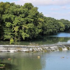
Cibolo Creek, Stream in South Central Texas, United States
Cibolo Creek is a waterway in South Central Texas that flows approximately 96 miles from Turkey Knob near Boerne to the San Antonio River in Karnes County. It forms the eastern boundary of Bexar County and connects multiple landscape zones along its path.
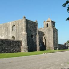
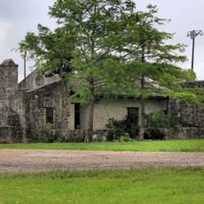
The waterway played a role in Spanish colonial history when authorities built Fort Santa Cruz del Cibolo in 1734 to protect livestock. The fort was destroyed by Native American forces in 1782, marking a significant moment in the region's conflict history.
The creek has long served as a water source for communities throughout South Central Texas, shaping how people have settled and farmed in the region. Local residents depend on it for irrigation and daily water needs.
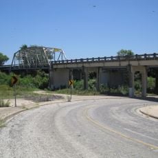
The waterway flows through different landscape types, so various sections offer easy access while others feature more natural, less-traveled areas. It is best to explore the area beforehand to find access points suitable for your activity.
The drainage basin contains karst formations that created Natural Bridge Caverns and Cascade Caverns underground. These subterranean structures form a hidden geological network beneath the surface landscape.
The community of curious travelers
AroundUs brings together thousands of curated places, local tips, and hidden gems, enriched daily by 60,000 contributors worldwide.