Enable Location

We need your location to show you interesting places around you

Discover nearby places

Find interesting locations and hidden gems around you

Precise directions

Get accurate directions and distances to places

Your location is never shared with other users. It's only used when you tap the location button.

Irion County

Log in to your account

Start exploring — it's free

Trusted by 62,488 travelers worldwide

Continue with Google
Continue with Apple
or

We will send you a code to connect

By continuing, you accept our Terms and Conditions and our Privacy Policy

Check your inbox

We've sent a pincode in your inbox. Please enter the code below.

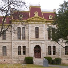
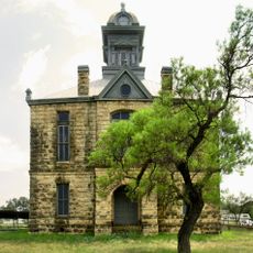
Irion County, County administrative division in western Texas, United States.

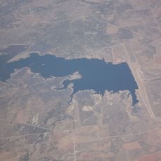
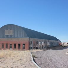
Irion County is an administrative division in western Texas covering high-plateau terrain with scattered small towns and ranching lands. The area remains sparsely populated and is shaped largely by agricultural and energy production activities.

The county was established in 1889 from neighboring Tom Green County and named after Robert Anderson Irion, who served as Secretary of State for the Texas Republic. Its creation reflected the administrative reorganization of the Texas frontier during the late 1800s.

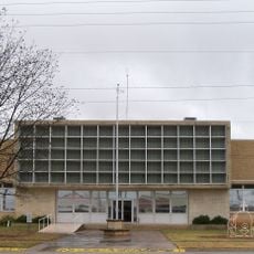
The Irion County Independent School District maintains strong educational traditions through its high school programs, including successful marching band performances and athletic competitions.

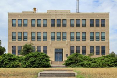
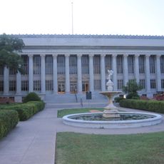
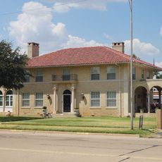
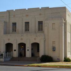
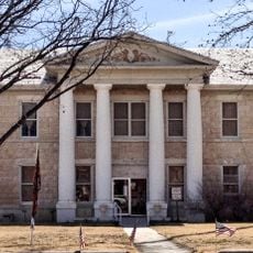
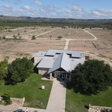
Mertzon serves as the administrative center of the county where government services are located. Visitors can find local offices and facilities needed for municipal matters in this main town.

Beneath this county lies the Spraberry Trend, one of the largest oil reserves in North America with substantial remaining resources. This hidden resource has shaped the region's economic development throughout the modern era.

The community of curious travelers

AroundUs brings together thousands of curated places, local tips, and hidden gems, enriched daily by 60,000 contributors worldwide.

Start exploring
GPS coordinates
31.29312,-100.98007
Latest update
December 7, 2025 19:31
Around this place
Fort Concho
United States of America

Fort Concho

55.3 km
Fort Lancaster
United States of America

Fort Lancaster

97.7 km
E.V. Spence Reservoir
United States of America

E.V. Spence Reservoir

80.4 km
San Angelo Stadium
United States of America

San Angelo Stadium

51.8 km
Foster Communications Coliseum
United States of America

Foster Communications Coliseum

54.8 km
Foster Field
United States of America

Foster Field

52.5 km
San Angelo Museum of Fine Arts
United States of America

San Angelo Museum of Fine Arts

55.1 km
Junell Center
United States of America

Junell Center

52.2 km
Crockett County Courthouse
United States of America

Crockett County Courthouse

68.2 km
Houston Harte University Center
United States of America

Houston Harte University Center

51.6 km
Tom Green County Courthouse
United States of America

Tom Green County Courthouse

54.7 km
J. B. Blakeney House
United States of America

J. B. Blakeney House

54.1 km
Masonic Lodge 570
United States of America

Masonic Lodge 570

55.2 km
Montgomery Ward Building
United States of America

Montgomery Ward Building

54.9 km
Glasscock County Courthouse
United States of America

Glasscock County Courthouse

79.2 km
Sutton County Courthouse
United States of America

Sutton County Courthouse

86.4 km
Old Irion County Courthouse
United States of America

Old Irion County Courthouse

17.7 km
Freeze Building
United States of America

Freeze Building

54.9 km
Municipal Swimming Pool
United States of America

Municipal Swimming Pool

55.1 km
Fort Lancaster State Historic Site
United States of America

Fort Lancaster State Historic Site

97.7 km
San Angelo City Hall
United States of America

San Angelo City Hall

54.8 km
Sterling County Courthouse
United States of America

Sterling County Courthouse

60.5 km
Coke County Courthhouse
United States of America

Coke County Courthhouse

81.6 km
Texas Theater
United States of America

Texas Theater

92.6 km
Texas Theatre
United States of America

Texas Theatre

54.9 km
Chinati Foundation
United States of America

Chinati Foundation

97.1 km
Crockett County Jail
United States of America

Crockett County Jail

68.1 km
Sixth Street Bridge
United States of America

Sixth Street Bridge

54.1 km
Show the full map
« Irion County - County administrative division in western Texas, United States » is provided by Around Us (aroundus.com). Images and texts are derived from Wikimedia project under a Creative Commons license. You are allowed to copy, distribute, and modify copies of this page, under the conditions set by the license, as long as this note is clearly visible.

Discover hidden gems everywhere you go!

From secret cafés to breathtaking viewpoints, skip the crowded tourist spots and find places that match your style. Our app makes it easy with voice search, smart filtering, route optimization, and insider tips from travelers worldwide. Download now for the complete mobile experience.

Around Us App Screenshot

A unique approach to discovering new places

Le Figaro

All the places worth exploring

France Info

A tailor-made excursion in just a few clicks

20 Minutes

Around Us
Travel Guide & Maps
Download

Send to your phone

QR Code
1

Open the camera app on your mobile.

2

Point at the QR code with your camera. A notification will appear.

3

Tap the notification to open the link.