Terrell County, County administrative division in Trans-Pecos region, Texas, United States.
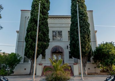
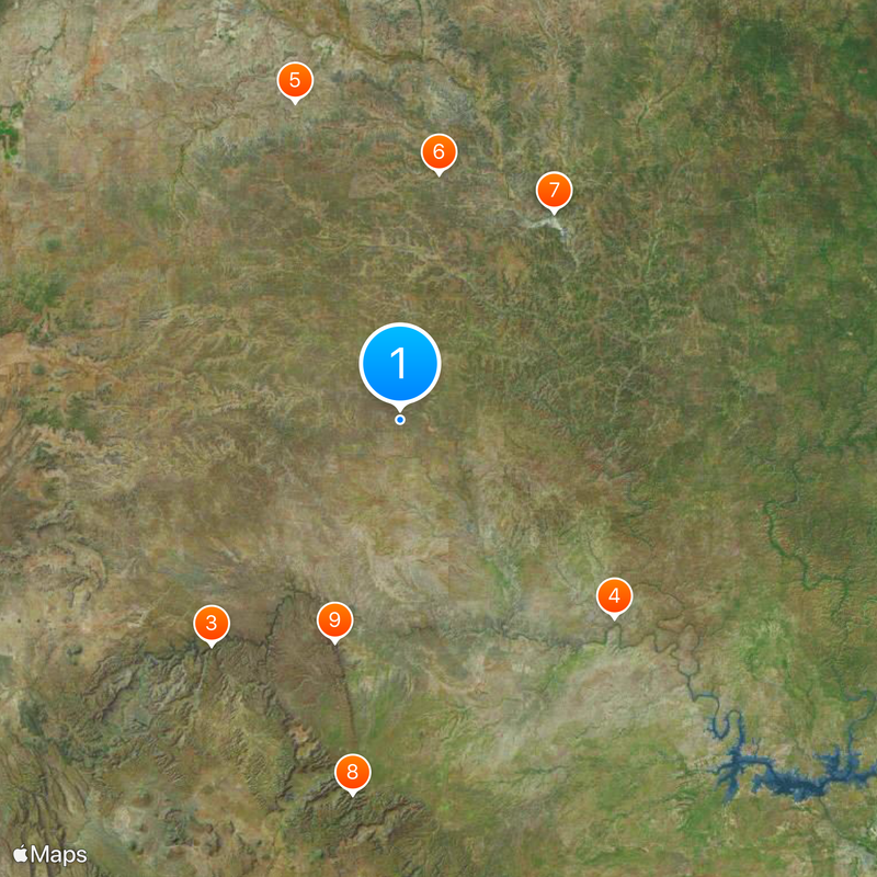
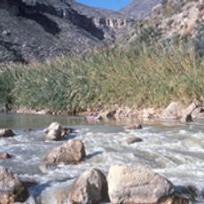
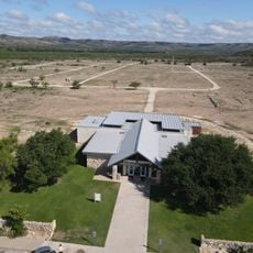
Terrell County is an administrative division in western Texas with Sanderson serving as its county seat. The landscape consists of semiarid steppes and gentle rolling plains characteristic of the Trans-Pecos region.
The county was established in 1905 when the Texas Legislature separated it from Pecos County. It was named after Alexander W. Terrell, a state senator who played a role in the region's political history.
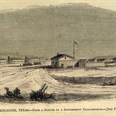
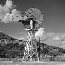
Ranching traditions continue to shape daily life and the landscape throughout the region. The area also holds places of importance to Native American communities, visible through various historical markers and cultural sites.
The region is accessible via U.S. Highways 90 and 285, which connect it to surrounding areas. Visitors should expect sparse settlement patterns and considerable distances between towns and services.
With fewer than 1,000 residents, this is one of Texas's least populated counties. The sparse population has left much of the land relatively undeveloped, offering visitors a sense of vast, open territory.
The community of curious travelers
AroundUs brings together thousands of curated places, local tips, and hidden gems, enriched daily by 60,000 contributors worldwide.