Chest opened
+${chestReward.xp} XP
Explorer
NOUVEAU ×${chestReward.collectible.quantity}
tapez pour fermer

See the monuments around you in AR Open chests in the app

Around Us is built for your phone — point your camera at the streets and discover the monuments and places around you in augmented reality. Around Us is built for your phone — chests unlock when you walk, explore and capture nearby places.

Enable Location

We need your location to show you interesting places around you

Discover nearby places

Find interesting locations and hidden gems around you

Precise directions

Get accurate directions and distances to places

Your location is never shared with other users. It's only used when you tap the location button.

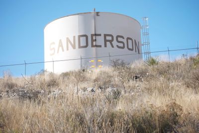
Sanderson

Log in to your account

Start exploring — it's free

Trusted by 85,026 travelers worldwide

Continue with Google
Continue with Apple
or

We will send you a code to connect

By continuing, you accept our Terms and Conditions and our Privacy Policy

Check your inbox

We've sent a pincode in your inbox. Please enter the code below.

Discussion Reviews 1 Photos
23.4k Popularity

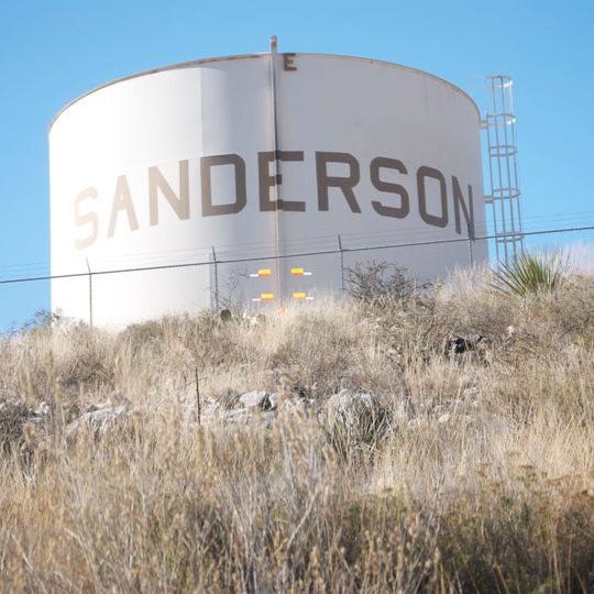
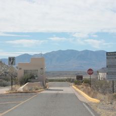
Sanderson, County seat in Terrell County, Texas, United States

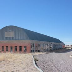
Sanderson is the county seat of Terrell County in Texas, located at an elevation of about 850 meters in the state's western region. The community has several school facilities and scattered buildings spread across its area.

The town was founded in 1882 as a railroad division point for the Southern Pacific Railroad and became a center for wool production. A major flood in 1965 significantly altered the area's economic structure.

The high school features Art Deco design with a decorative frieze above its entrance displaying the words Truth Culture Progress Success. This building from the 1930s reflects the values that shaped the community.

The place is sparsely populated and requires a car to move between different facilities and areas. The high school provides basic services and events that shape community life.

Two tornadoes of different strengths hit the area in 2024, showing how exposed the place is to extreme weather events. These rare but intense storms highlight how vulnerable communities can be in this region.

The community of curious travelers

AroundUs brings together thousands of curated places, local tips, and hidden gems, enriched daily by 60,000 contributors worldwide.
Start exploring
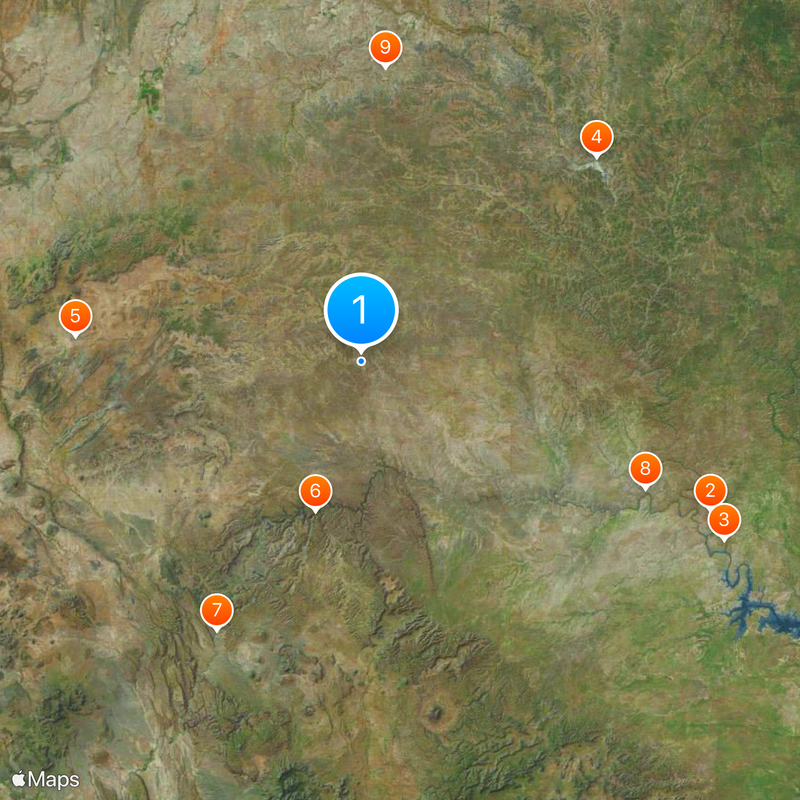
Location
Elevation above the sea
850 m
GPS coordinates
30.14110,-102.39600
Latest update
August 30, 2026 12:48
Around this place
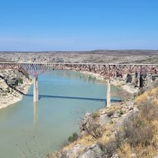
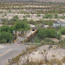
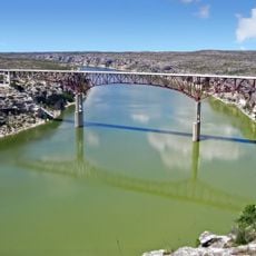
Pecos River High Bridge
United States of America

Pecos River High Bridge

67.6 mi
Seminole Canyon State Park and Historic Site
United States of America

Seminole Canyon State Park and Historic Site

72 mi
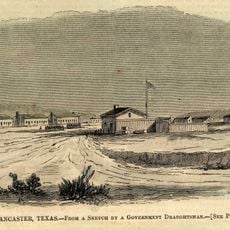
Fort Lancaster
United States of America

Fort Lancaster

55.3 mi
Marathon Uplift
United States of America

Marathon Uplift

50.9 mi
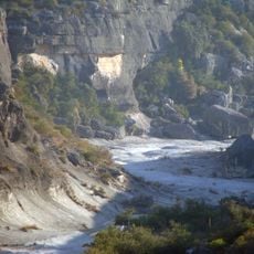
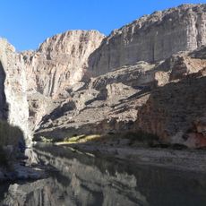
Rio Grande Wild and Scenic River
United States of America

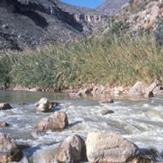
Rio Grande Wild and Scenic River

27.7 mi
La Linda International Bridge
Mexico

La Linda International Bridge

54.3 mi
Mile Canyon
United States of America

Mile Canyon

55.4 mi
United States of America

Tunas Peak

52.3 mi
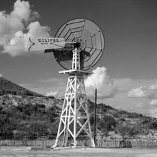
Canon Ranch Railroad Eclipse Windmill
United States of America

Canon Ranch Railroad Eclipse Windmill

48.8 mi
Boquillas Canyon
United States of America

Boquillas Canyon

70.8 mi
Persimmon Gap
United States of America

Persimmon Gap

56.8 mi
Fort Stockton Historic District
United States of America

Fort Stockton Historic District

59 mi
Gage Hotel
United States of America

Gage Hotel

51 mi
Pecos River Bridge
United States of America

Pecos River Bridge

69.4 mi
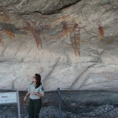
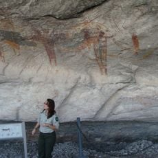
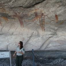
Fate Bell Shelter
United States of America

Fate Bell Shelter

71.8 mi
Lower Pecos Canyonlands Archeological District
United States of America

Lower Pecos Canyonlands Archeological District

71.8 mi
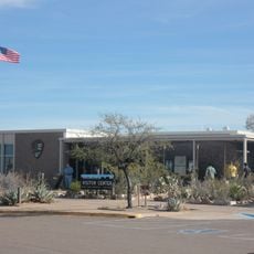
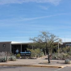
Panther Junction Visitor Center
United States of America

Panther Junction Visitor Center

74.4 mi
Panther Junction Mission 66 Historic District
United States of America

Panther Junction Mission 66 Historic District

74.4 mi
Seminole Canyon District
United States of America

Seminole Canyon District

71.8 mi
Fort Lancaster State Historic Site
United States of America

Fort Lancaster State Historic Site

55.3 mi
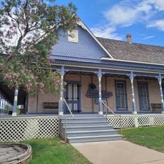
Annie Riggs Memorial Museum
United States of America

Annie Riggs Memorial Museum

58.8 mi
Persimmon Gap Entrance Sign
United States of America

Persimmon Gap Entrance Sign

56.2 mi
Princess Theater
United States of America

Princess Theater

400 ft
Pecos River Boat Dock
United States of America

Pecos River Boat Dock

69.1 mi
Panther Junction Gas Station
United States of America

Panther Junction Gas Station

74.4 mi
Persimmon Gap Entrance Station
United States of America

Persimmon Gap Entrance Station

57.2 mi
Chinati Foundation
United States of America

Chinati Foundation

60.9 mi
Boquillas Canyon Overlook
United States of America

Boquillas Canyon Overlook

72.8 mi
Show the full map
Reviews
Share your experience

No review yet

Discussions
Start a discussion...

No discussion yet

« Sanderson - County seat in Terrell County, Texas, United States » is provided by Around Us (aroundus.com). Images and texts are derived from Wikimedia project under a Creative Commons license. You are allowed to copy, distribute, and modify copies of this page, under the conditions set by the license, as long as this note is clearly visible.

Discover hidden gems everywhere you go!

From secret cafés to breathtaking viewpoints, skip the crowded tourist spots and find places that match your style. Our app makes it easy with voice search, smart filtering, route optimization, and insider tips from travelers worldwide. Download now for the complete mobile experience.
Around Us App Screenshot

A unique approach to discovering new places

Le Figaro

All the places worth exploring

France Info

A tailor-made excursion in just a few clicks

20 Minutes

Around Us
Travel Guide & Maps
Download

Send to your phone

QR Code
1

Open the camera app on your mobile.

2

Point at the QR code with your camera. A notification will appear.

3

Tap the notification to open the link.