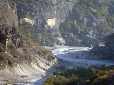
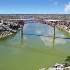
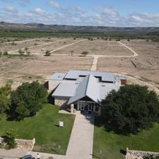
Seminole Canyon State Park and Historic Site, Natural and archaeological park in Val Verde County, US
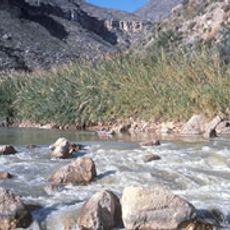
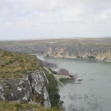
Seminole Canyon State Park is a natural area featuring steep limestone canyons and desert plateaus where numerous prehistoric rock art sites have been preserved along the Rio Grande and Seminole Canyon waterways. The terrain contains multiple types of archaeological sites, including rock shelters, burial caves, and open campsites.
Native American hunter-gatherers created numerous pictographs on the canyon walls between 2000 BCE and 1000 CE, documenting their presence across the region over thousands of years. This artistic tradition continued through multiple cultural periods and demonstrates the enduring occupation of the area.
The rock art panels display red, black, and yellow paintings showing human figures, animals, and geometric patterns created by early inhabitants. These artworks remain visible on the canyon walls today, offering insight into how ancient people understood and represented their world.
Access to the rock art sites is available only through guided tours offered Wednesday through Sunday at the Fate Bell Shelter location. Visitors should prepare for walking on uneven terrain and wear comfortable shoes, as reaching the artworks requires some physical effort.
The park contains more than 200 identified prehistoric sites spread across its landscape, from rock shelters to burial caves and open campsites. This concentration of archaeological locations offers one of the most complete records of ancient occupation and settlement patterns in the lower Pecos region.
The community of curious travelers
AroundUs brings together thousands of curated places, local tips, and hidden gems, enriched daily by 60,000 contributors worldwide.