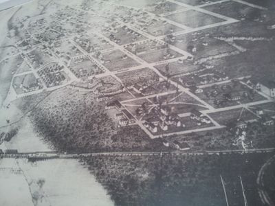
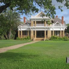
Fort Duncan, Historic military fort in Eagle Pass, Texas, United States
Fort Duncan is a historic military fort in Eagle Pass, Texas, listed on the National Register of Historic Places and situated along the Rio Grande. Several original buildings from its active years still stand on the grounds, including the Commander's Headquarters and a stone structure that once served as a hospital.
The fort was established in 1849 as a frontier post to watch over the Rio Grande crossing and protect settlers moving into the region. It changed hands during the Civil War and continued to operate as a military base through the late 1800s.
Fort Duncan was home to Buffalo Soldier regiments, African American troops who served on the Texas frontier after the Civil War. Their presence is part of the story told inside the museum today, giving the site a meaning that goes beyond its military function.
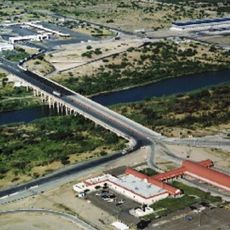
The site is located in downtown Eagle Pass and can be reached on foot from the town center, with parking available nearby. A morning visit is a good idea since part of the grounds is outdoors and the Texas heat can be strong later in the day.
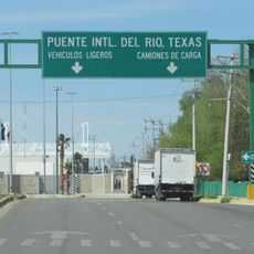
During the Civil War, Eagle Pass was one of the few places where Confederate traders could move cotton across the Rio Grande into Mexico to avoid the Union naval blockade. The fort sat right at that crossing, placing it at the center of this workaround trade route.
The community of curious travelers
AroundUs brings together thousands of curated places, local tips, and hidden gems, enriched daily by 60,000 contributors worldwide.