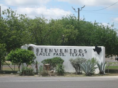
Eagle Pass, Border town in Maverick County, Texas, United States.
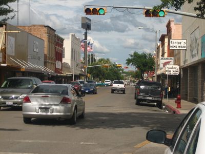
Eagle Pass sits on the north bank of the Rio Grande at 223 meters elevation and stretches along the river facing the Mexican city of Piedras Negras. Streets run parallel to the water and connect residential neighborhoods, commercial centers, and border crossings into a continuous urban fabric.
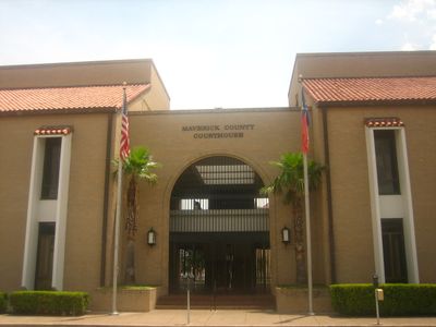
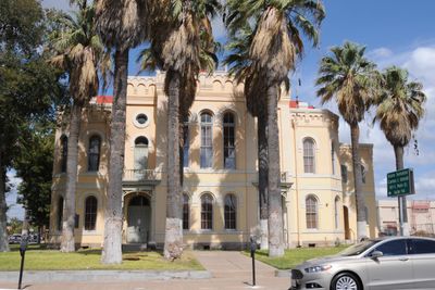
The settlement began in 1849 when Fort Duncan was built as a military outpost to control the border between the United States and Mexico. Over the decades the town grew into a trade center and became the seat of Maverick County.
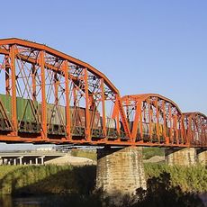
The two international bridges link daily life on both sides of the Rio Grande and create a noticeable exchange between the communities. Shops, restaurants, and public spaces reflect this closeness through bilingual signs and a mix of Texan and Mexican habits.
Hotels, restaurants, and shopping centers are distributed throughout the town and provide lodging and supplies for travelers. The border crossings connect both sides of the river and allow passage into Mexico for visitors with the required travel documents.
The tribal headquarters of the Kickapoo Traditional Tribe of Texas is located here and shows the ongoing presence of the indigenous population in the border region. Tribal members live and work in the area and maintain their inherited customs amid the modern town.
The community of curious travelers
AroundUs brings together thousands of curated places, local tips, and hidden gems, enriched daily by 60,000 contributors worldwide.