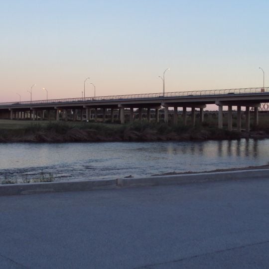
Camino Real International Bridge, Toll bridge between Eagle Pass, Texas and Piedras Negras, Coahuila.
The Camino Real International Bridge is a toll bridge spanning the Rio Grande between Eagle Pass, Texas and Piedras Negras, Coahuila. It accommodates vehicle traffic across six lanes with dedicated pedestrian walkways for foot crossers on both sides.
The bridge was completed in 1999 and created a new direct connection for cross-border traffic at this point along the Rio Grande. It was developed as part of broader efforts to strengthen economic ties between the two countries in this region.
The bridge connects two border communities and enables daily interactions between residents on both sides for commerce and family visits. It shapes local life as a meeting point where people from Eagle Pass and Piedras Negras maintain close ties through regular crossings.
The crossing operates around the clock, allowing travelers to cross at any time of day or night without time restrictions. Vehicle and pedestrian traffic use separate entry and exit routes, keeping the flow orderly and organized.
The bridge is jointly managed by the City of Eagle Pass and CAPUFE, with each entity controlling its own side of the structure. This shared management arrangement makes it a rare example of international partnership in border infrastructure.
The community of curious travelers
AroundUs brings together thousands of curated places, local tips, and hidden gems, enriched daily by 60,000 contributors worldwide.
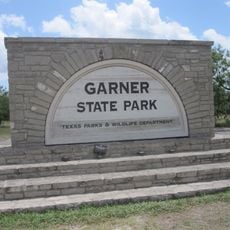
Garner State Park
123.9 km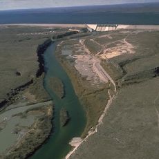
Amistad Reservoir
99.3 km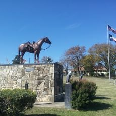
Fort Clark
68.3 km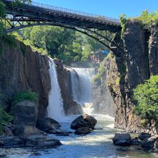
Sleeping Spring Draw
66.6 km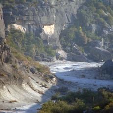
Seminole Canyon State Park and Historic Site
134.9 km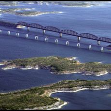
Amistad National Recreation Area
97.6 km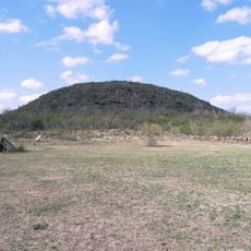
Fort Inge
90.2 km
Fort Duncan
658 m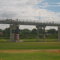
Eagle Pass – Piedras Negras International Bridge
876 m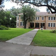
John Nance Garner House
90.5 km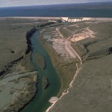
Lake Amistad Dam International Crossing
99.2 km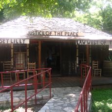
Whitehead Memorial Museum
82 km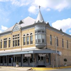
Grand Opera House
90.7 kmRio San Rodrigo
25.7 km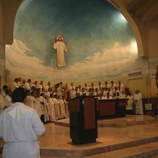
Martyrs of Christ the King Cathedral, Piedras Negras
5.3 km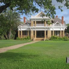
Asher and Mary Isabelle Richardson House
78.5 km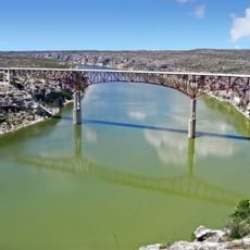
Pecos River Bridge
139.1 km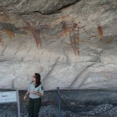
Fate Bell Shelter
136 km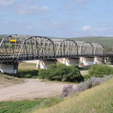
State Highway 3 Bridge at the Nueces River
81.9 km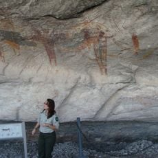
Lower Pecos Canyonlands Archeological District
136 km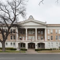
Uvalde Downtown Historic District
90.7 km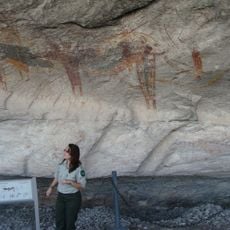
Seminole Canyon District
136 km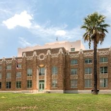
La Salle County Courthouse
127.9 km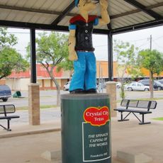
Popeye statue in Crystal City
66.5 km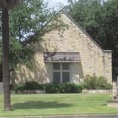
St. Philip's Episcopal Church
90.8 km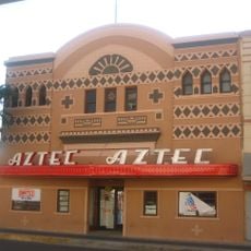
Aztec Theatre
1.4 km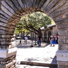
Combination Building
124.3 km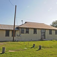
Nicolas Street School
89.6 kmDiscover hidden gems everywhere you go!
From secret cafés to breathtaking viewpoints, skip the crowded tourist spots and find places that match your style. Our app makes it easy with voice search, smart filtering, route optimization, and insider tips from travelers worldwide. Download now for the complete mobile experience.

A unique approach to discovering new places❞
— Le Figaro
All the places worth exploring❞
— France Info
A tailor-made excursion in just a few clicks❞
— 20 Minutes
