Enable Location

We need your location to show you interesting places around you

Discover nearby places

Find interesting locations and hidden gems around you

Precise directions

Get accurate directions and distances to places

Your location is never shared with other users. It's only used when you tap the location button.

Geography of Texas

Log in to your account

Start exploring — it's free

Trusted by 68,214 travelers worldwide

Continue with Google
Continue with Apple
or

We will send you a code to connect

By continuing, you accept our Terms and Conditions and our Privacy Policy

Check your inbox

We've sent a pincode in your inbox. Please enter the code below.

Geography of Texas
Discussion Reviews 1 Photos
95.8k Popularity

Geography of Texas, Diverse geographical regions in Texas, United States.

The geography of Texas covers different landscapes that reach from the Gulf of Mexico to the mountains in the west and from the forests in the east to the deserts in the southwest. Rivers run through the area in several directions and divide the land into clearly distinguishable zones, each with its own soils, plants and terrain features.

A geological fault line has divided the area into two halves for millions of years and influenced where people settled and how they used the land. This natural boundary later often ran parallel to routes, settlements and economic zones that developed over the centuries.

The wide plains in the western part of the state have served as cattle grazing land for generations, while the fertile black soils farther east produce cotton and other field crops. These different land uses shape the daily life of the people who work there and have adapted their traditions to each region.

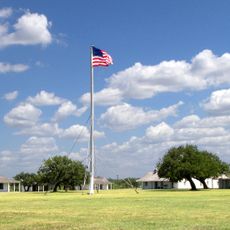
More than one hundred state parks and several state forests offer access to the different landscapes and are suitable for day visits or longer stays. Distances between regions are large, so you should allow enough time to travel from one climate zone to the next.

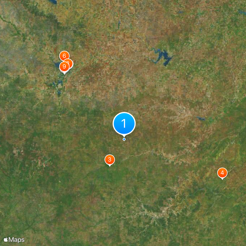
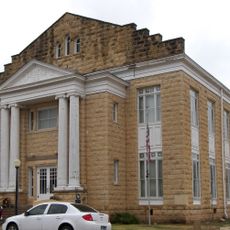
The geographical center of the state lies northeast of the small town of Brady, while the westernmost city is closer to California than to the eastern border. This extent explains why you can drive through several completely different landscapes in one day, from flat coastal land to rocky hills.

The community of curious travelers

AroundUs brings together thousands of curated places, local tips, and hidden gems, enriched daily by 60,000 contributors worldwide.

Start exploring
GPS coordinates
31.00000,-100.00000
Latest update
December 12, 2025 23:43
Around this place
Fort Concho
United States of America

Fort Concho

65 km
Fort McKavett
United States of America

Fort McKavett

22 km
Fort Mason
United States of America

Fort Mason

77.5 km
San Angelo Stadium
United States of America

San Angelo Stadium

64.9 km
Foster Communications Coliseum
United States of America

Foster Communications Coliseum

71.4 km
Foster Field
United States of America

Foster Field

65 km
San Angelo Museum of Fine Arts
United States of America

San Angelo Museum of Fine Arts

65.5 km
Junell Center
United States of America

Junell Center

65.4 km
Mason County Courthouse
United States of America

Mason County Courthouse

78.5 km
McCulloch County Courthouse
United States of America

McCulloch County Courthouse

65.6 km
Olde Park Hotel
United States of America

Olde Park Hotel

82.5 km
Houston Harte University Center
United States of America

Houston Harte University Center

66.2 km
Tom Green County Courthouse
United States of America

Tom Green County Courthouse

66.3 km
J. B. Blakeney House
United States of America

J. B. Blakeney House

66.4 km
Old McCulloch County Jail
United States of America

Old McCulloch County Jail

65 km
Masonic Lodge 570
United States of America

Masonic Lodge 570

66 km
Mason Historic District
United States of America

Mason Historic District

79.2 km
Montgomery Ward Building
United States of America

Montgomery Ward Building

66.2 km
Ballinger Carnegie Library
United States of America

Ballinger Carnegie Library

82.5 km
Sutton County Courthouse
United States of America

Sutton County Courthouse

77.8 km
Concho County Courthouse
United States of America

Concho County Courthouse

57.1 km
Old Irion County Courthouse
United States of America

Old Irion County Courthouse

81.9 km
Freeze Building
United States of America

Freeze Building

65.9 km
Municipal Swimming Pool
United States of America

Municipal Swimming Pool

65.5 km
Fort McKavett State Historic Site
United States of America

Fort McKavett State Historic Site

22 km
San Angelo City Hall
United States of America

San Angelo City Hall

66.6 km
Menard County Courthouse
United States of America

Menard County Courthouse

22.7 km
Kimble County Courthouse
United States of America

Kimble County Courthouse

61.1 km
Show the full map
Reviews
Share your experience

No review yet

Discussions
Start a discussion...

No discussion yet

« Geography of Texas - Diverse geographical regions in Texas, United States » is provided by Around Us (aroundus.com). Images and texts are derived from Wikimedia project under a Creative Commons license. You are allowed to copy, distribute, and modify copies of this page, under the conditions set by the license, as long as this note is clearly visible.

Discover hidden gems everywhere you go!

From secret cafés to breathtaking viewpoints, skip the crowded tourist spots and find places that match your style. Our app makes it easy with voice search, smart filtering, route optimization, and insider tips from travelers worldwide. Download now for the complete mobile experience.

Around Us App Screenshot

A unique approach to discovering new places

Le Figaro

All the places worth exploring

France Info

A tailor-made excursion in just a few clicks

20 Minutes

Around Us
Travel Guide & Maps
Download

Send to your phone

QR Code
1

Open the camera app on your mobile.

2

Point at the QR code with your camera. A notification will appear.

3

Tap the notification to open the link.