Enable Location

We need your location to show you interesting places around you

Discover nearby places

Find interesting locations and hidden gems around you

Precise directions

Get accurate directions and distances to places

Your location is never shared with other users. It's only used when you tap the location button.

Kimble County

Log in to your account

Start exploring — it's free

Trusted by 62,487 travelers worldwide

Continue with Google
Continue with Apple
or

We will send you a code to connect

By continuing, you accept our Terms and Conditions and our Privacy Policy

Check your inbox

We've sent a pincode in your inbox. Please enter the code below.

Kimble County, County in Texas Hill Country, United States

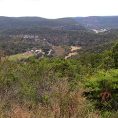
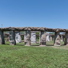
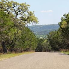
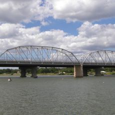
Kimble County sits in the Edwards Plateau region with rolling hills, grasslands, and limestone formations scattered throughout. The terrain varies in elevation and plant life, with rivers and creeks running through the land and supporting ranches and small settlements.

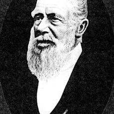
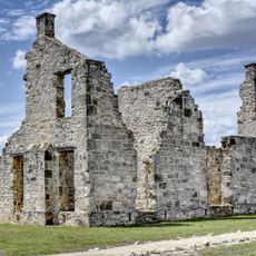
Indigenous peoples including Comanches and other tribes lived here before European settlement began in the 1850s. The county was established in 1858 and named after a person important to early Texas independence.

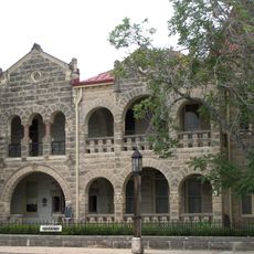
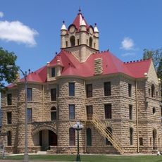
Ranching and livestock farming shape the landscape and daily rhythms of life across this rural territory. These practices connect residents to the land in ways visible in how the county develops and functions.

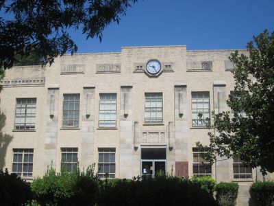
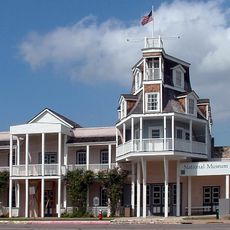
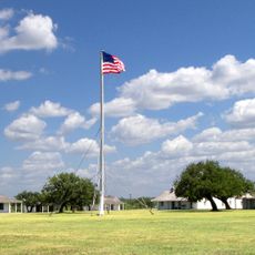
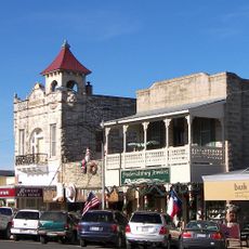
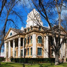
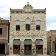
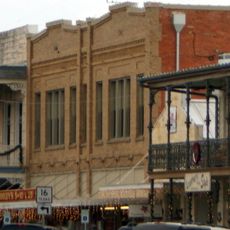
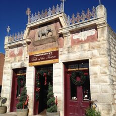
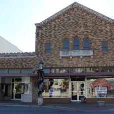
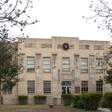
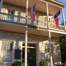
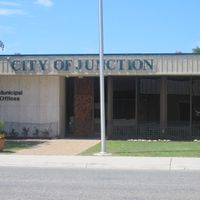
Junction serves as the main hub with basic services and facilities. The hilly terrain means having a vehicle is practical for exploring the different areas across the county.

The county contains natural springs with clear water that draw swimmers and nature enthusiasts to riverside areas. These hidden spots often escape the attention of passing travelers despite offering quiet places to visit.

The community of curious travelers

AroundUs brings together thousands of curated places, local tips, and hidden gems, enriched daily by 60,000 contributors worldwide.

Start exploring
Location
Inception
1876
Capital city
Junction
Shares border with
Schleicher County, Sutton County, Menard County, Mason County, Gillespie County, Kerr County, Edwards County
GPS coordinates
30.49000,-99.75000
Latest update
December 7, 2025 20:22
Around this place
National Museum of the Pacific War
United States of America

National Museum of the Pacific War

88.4 km
Lost Maples State Natural Area
United States of America

Lost Maples State Natural Area

76.3 km
HA. 19
United States of America

HA. 19

88.1 km
Stonehenge II
United States of America

Stonehenge II

67 km
Fort McKavett
United States of America

Fort McKavett

51 km
Fort Mason
United States of America

Fort Mason

55.6 km
Kerrville-Schreiner Park
United States of America

Kerrville-Schreiner Park

80.7 km
Capt. Charles Schreiner Mansion
United States of America

Capt. Charles Schreiner Mansion

76.7 km
Fredericksburg Historic District
United States of America

Fredericksburg Historic District

87.5 km
The Coming King Sculpture Prayer Gardens
United States of America

The Coming King Sculpture Prayer Gardens

76.7 km
Mason County Courthouse
United States of America

Mason County Courthouse

57.4 km
McCulloch County Courthouse
United States of America

McCulloch County Courthouse

83.7 km
State Highway 29 Bridge at the Colorado River
United States of America

State Highway 29 Bridge at the Colorado River

82 km
Fredericksburg Memorial Library
United States of America

Fredericksburg Memorial Library

87.5 km
Old McCulloch County Jail
United States of America

Old McCulloch County Jail

82 km
Homesite of John O. Meusebach
United States of America

Homesite of John O. Meusebach

72.5 km
Mason Historic District
United States of America

Mason Historic District

58 km
Masonic Building
United States of America

Masonic Building

76.7 km
Edwards County Courthouse and Jail
United States of America

Edwards County Courthouse and Jail

68.7 km
Pacific Combat Zone
United States of America

Pacific Combat Zone

88.6 km
Frank Van Der Stucken Birthplace
United States of America

Frank Van Der Stucken Birthplace

87.7 km
Hoerster Building
United States of America

Hoerster Building

87.9 km
Fort McKavett State Historic Site
United States of America

Fort McKavett State Historic Site

50.9 km
Menard County Courthouse
United States of America

Menard County Courthouse

47.4 km
Pampell's Opera House
United States of America

Pampell's Opera House

76.5 km
Kimble County Courthouse
United States of America

Kimble County Courthouse

1.5 km
Palace Theatre
United States of America

Palace Theatre

87.8 km
Guthrie Building
United States of America

Guthrie Building

76.7 km
Show the full map
Administrative divisions
« Kimble County - County in Texas Hill Country, United States » is provided by Around Us (aroundus.com). Images and texts are derived from Wikimedia project under a Creative Commons license. You are allowed to copy, distribute, and modify copies of this page, under the conditions set by the license, as long as this note is clearly visible.

Discover hidden gems everywhere you go!

From secret cafés to breathtaking viewpoints, skip the crowded tourist spots and find places that match your style. Our app makes it easy with voice search, smart filtering, route optimization, and insider tips from travelers worldwide. Download now for the complete mobile experience.

Around Us App Screenshot

A unique approach to discovering new places

Le Figaro

All the places worth exploring

France Info

A tailor-made excursion in just a few clicks

20 Minutes

Around Us
Travel Guide & Maps
Download

Send to your phone

QR Code
1

Open the camera app on your mobile.

2

Point at the QR code with your camera. A notification will appear.

3

Tap the notification to open the link.