Enable Location

We need your location to show you interesting places around you

Discover nearby places

Find interesting locations and hidden gems around you

Precise directions

Get accurate directions and distances to places

Your location is never shared with other users. It's only used when you tap the location button.

Gillespie County

Log in to your account

Start exploring — it's free

Trusted by 61,905 travelers worldwide

Continue with Google
Continue with Apple
or

We will send you a code to connect

By continuing, you accept our Terms and Conditions and our Privacy Policy

Check your inbox

We've sent a pincode in your inbox. Please enter the code below.

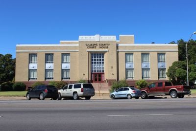
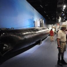
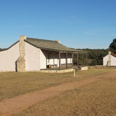
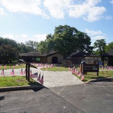
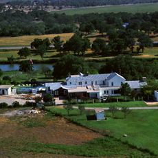
Gillespie County, Administrative division in Texas, United States

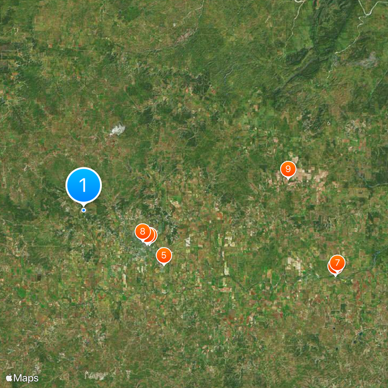
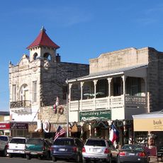
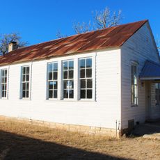
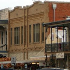
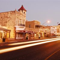
Gillespie County is an administrative division in Texas situated on a high plateau, with Fredericksburg as its main city. The area covers a substantial landmass with several towns and rural communities spread throughout.

The county was created in 1848 from portions of two earlier counties and named after Robert Addison Gillespie, a soldier in the Mexican-American War. This formation marked an important step in the area's administrative development.

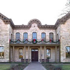
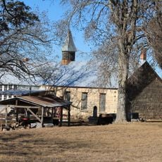
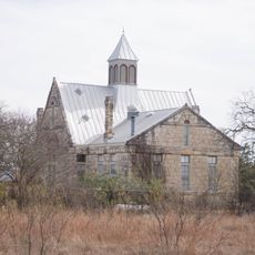
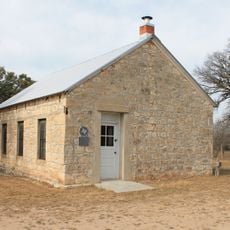
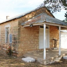
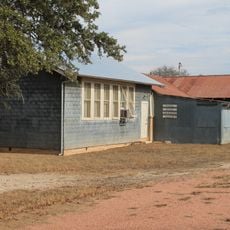
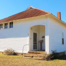
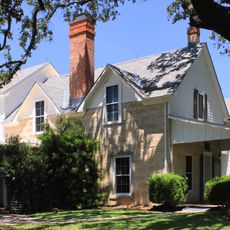
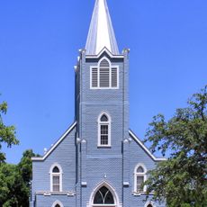
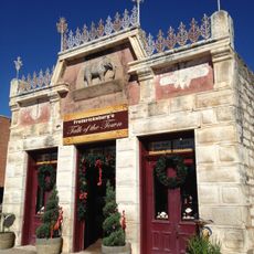
German heritage shapes how the county looks and how people gather here through festivals and daily life. This influence shows in the architecture, street names, and traditions that remain woven into community events throughout the year.

Public records and official documents are available through administrative offices in Fredericksburg during regular business hours or online. Planning ahead helps when looking for specific information, as staff can guide you to the right resources.

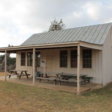
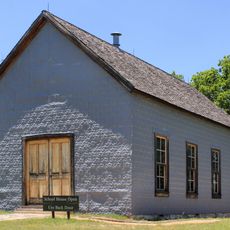
In 1881, this county organized the first agricultural fair held by any county in Texas, drawing visitors from surrounding areas. The tradition of showcasing farming and community continues today through annual exhibitions and events.

The community of curious travelers

AroundUs brings together thousands of curated places, local tips, and hidden gems, enriched daily by 60,000 contributors worldwide.

Start exploring
Location
Inception
1848
Capital city
Fredericksburg
Shares border with
Blanco County, Llano County, Kendall County, Mason County, Kerr County, Kimble County
GPS coordinates
30.31000,-98.95000
Latest update
December 20, 2025 14:50
Around this place
Lyndon B. Johnson National Historical Park
United States of America

Lyndon B. Johnson National Historical Park

32.3 km
National Museum of the Pacific War
United States of America

National Museum of the Pacific War

9.2 km
HA. 19
United States of America

HA. 19

8.9 km
Fort Martin Scott
United States of America

Fort Martin Scott

12 km
Lyndon B. Johnson State Park and Historic Site
United States of America

Lyndon B. Johnson State Park and Historic Site

32.2 km
LBJ Ranch
United States of America

LBJ Ranch

32.2 km
Fredericksburg Historic District
United States of America

Fredericksburg Historic District

8.3 km
Rheingold School
United States of America

Rheingold School

25.6 km
Fredericksburg Memorial Library
United States of America

Fredericksburg Memorial Library

8.3 km
Willow City School
United States of America

Willow City School

25.9 km
Williams Creek School
United States of America

Williams Creek School

36 km
Lower South Grape Creek School
United States of America

Lower South Grape Creek School

23.4 km
Morris Ranch Schoolhouse
United States of America

Morris Ranch Schoolhouse

12 km
Cherry Spring School
United States of America

Cherry Spring School

17.1 km
Wrede School
United States of America

Wrede School

9.4 km
Crabapple School
United States of America

Crabapple School

18.5 km
Pecan Creek School
United States of America

Pecan Creek School

34.6 km
Meusebach Creek School
United States of America

Meusebach Creek School

14.7 km
Pacific Combat Zone
United States of America

Pacific Combat Zone

9.4 km
Reconstructed Birthplace
United States of America

Reconstructed Birthplace

33.6 km
LBJ Ranch House
United States of America

LBJ Ranch House

32.2 km
Grave of Lyndon B. Johnson
United States of America

Grave of Lyndon B. Johnson

33.6 km
Trinity Lutheran Church
United States of America

Trinity Lutheran Church

33.7 km
Arrowhead Creek Vineyard
United States of America

Arrowhead Creek Vineyard

27.5 km
Junction School
United States of America

Junction School

33.9 km
Frank Van Der Stucken Birthplace
United States of America

Frank Van Der Stucken Birthplace

8.5 km
Hoerster Building
United States of America

Hoerster Building

8.8 km
United States of America

Old St. Mary's Catholic Church

8 km
Show the full map
Administrative divisions
« Gillespie County - Administrative division in Texas, United States » is provided by Around Us (aroundus.com). Images and texts are derived from Wikimedia project under a Creative Commons license. You are allowed to copy, distribute, and modify copies of this page, under the conditions set by the license, as long as this note is clearly visible.

Discover hidden gems everywhere you go!

From secret cafés to breathtaking viewpoints, skip the crowded tourist spots and find places that match your style. Our app makes it easy with voice search, smart filtering, route optimization, and insider tips from travelers worldwide. Download now for the complete mobile experience.

Around Us App Screenshot

A unique approach to discovering new places

Le Figaro

All the places worth exploring

France Info

A tailor-made excursion in just a few clicks

20 Minutes

Around Us
Travel Guide & Maps
Download

Send to your phone

QR Code
1

Open the camera app on your mobile.

2

Point at the QR code with your camera. A notification will appear.

3

Tap the notification to open the link.