Chest opened
+${chestReward.xp} XP
Explorer
NOUVEAU ×${chestReward.collectible.quantity}
tapez pour fermer
Chest locked

Open chests in the app

Around Us is built for your phone — chests unlock when you walk, explore and capture nearby places.

Enable Location

We need your location to show you interesting places around you

Discover nearby places

Find interesting locations and hidden gems around you

Precise directions

Get accurate directions and distances to places

Your location is never shared with other users. It's only used when you tap the location button.

Log in to your account

Start exploring — it's free

Trusted by 72,886 travelers worldwide

Continue with Google
Continue with Apple
or

We will send you a code to connect

By continuing, you accept our Terms and Conditions and our Privacy Policy

Check your inbox

We've sent a pincode in your inbox. Please enter the code below.

Discussion Reviews Photo
38k Popularity

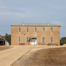
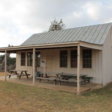
Loyal Valley, Former settlement in Mason County, Texas

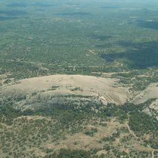
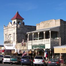
Loyal Valley is a former settlement in Mason County that stretches along an old trade route connecting San Antonio and El Paso. The community sits at roughly 460 meters elevation in the rolling terrain of southeastern Mason County.

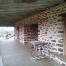
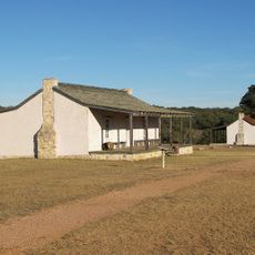
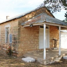
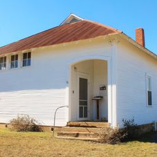
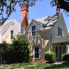
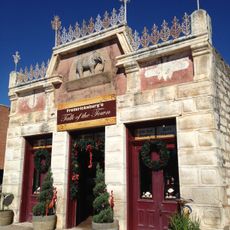
The settlement was founded in 1858 by German emigrants from Fredericksburg and was initially called Cold Springs after the water source feeding Cold Creek. It grew into an agricultural center during the late 1800s.

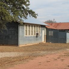
German settlers shaped the community by bringing farming methods from their homeland. Agricultural traditions remain visible in how the land is organized and used today.

The location is easily accessible from the state highway and makes a good starting point for exploring the surrounding countryside. It helps to come prepared with water and supplies since this is a rural area with limited services.

Herman Lehmann was captured by Apache raiders in 1870 and later lived with the Comanches, experiencing their way of life firsthand. His published memoir provides a rare account of frontier life told from someone who existed between different worlds.

The community of curious travelers

AroundUs brings together thousands of curated places, local tips, and hidden gems, enriched daily by 60,000 contributors worldwide.

Start exploring
Location
Elevation above the sea
463 m
GPS coordinates
30.57580,-99.00780
Latest update
December 17, 2025 09:56
Around this place
Enchanted Rock
United States of America

Enchanted Rock

19.7 km
National Museum of the Pacific War
United States of America

National Museum of the Pacific War

36.5 km
HA. 19
United States of America

HA. 19

36.3 km
Enchanted Rock State Natural Area
United States of America

Enchanted Rock State Natural Area

19.7 km
Fort Mason
United States of America

Fort Mason

29.4 km
Fort Martin Scott
United States of America

Fort Martin Scott

39.5 km
Fredericksburg Historic District
United States of America

Fredericksburg Historic District

35.8 km
Llano County Courthouse and Jail
United States of America

Llano County Courthouse and Jail

37.2 km
Badu Building
United States of America

Badu Building

37.6 km
Mason County Courthouse
United States of America

Mason County Courthouse

28.8 km
Rheingold School
United States of America

Rheingold School

40.1 km
State Highway 29 Bridge at the Colorado River
United States of America

State Highway 29 Bridge at the Colorado River

20 km
Fredericksburg Memorial Library
United States of America

Fredericksburg Memorial Library

35.9 km
Willow City School
United States of America

Willow City School

35.1 km
Mason Historic District
United States of America

Mason Historic District

28.3 km
Lower South Grape Creek School
United States of America

Lower South Grape Creek School

47.4 km
Morris Ranch Schoolhouse
United States of America

Morris Ranch Schoolhouse

39.8 km
Cherry Spring School
United States of America

Cherry Spring School

13.7 km
Wrede School
United States of America

Wrede School

39.3 km
Crabapple School
United States of America

Crabapple School

22.5 km
Pecan Creek School
United States of America

Pecan Creek School

44.6 km
Meusebach Creek School
United States of America

Meusebach Creek School

43.6 km
Pacific Combat Zone
United States of America

Pacific Combat Zone

36.7 km
LBJ Ranch House
United States of America

LBJ Ranch House

52.4 km
Summit Trail
United States of America

Summit Trail

19.8 km
Arrowhead Creek Vineyard
United States of America

Arrowhead Creek Vineyard

49.7 km
Frank Van Der Stucken Birthplace
United States of America

Frank Van Der Stucken Birthplace

36 km
Hoerster Building
United States of America

Hoerster Building

36.2 km
Show the full map
Reviews
Share your experience

No review yet

Discussions
Start a discussion...

No discussion yet

« Loyal Valley - Former settlement in Mason County, Texas » is provided by Around Us (aroundus.com). Images and texts are derived from Wikimedia project under a Creative Commons license. You are allowed to copy, distribute, and modify copies of this page, under the conditions set by the license, as long as this note is clearly visible.

Discover hidden gems everywhere you go!

From secret cafés to breathtaking viewpoints, skip the crowded tourist spots and find places that match your style. Our app makes it easy with voice search, smart filtering, route optimization, and insider tips from travelers worldwide. Download now for the complete mobile experience.

Around Us App Screenshot

A unique approach to discovering new places

Le Figaro

All the places worth exploring

France Info

A tailor-made excursion in just a few clicks

20 Minutes

Around Us
Travel Guide & Maps
Download

Send to your phone

QR Code
1

Open the camera app on your mobile.

2

Point at the QR code with your camera. A notification will appear.

3

Tap the notification to open the link.