Enable Location

We need your location to show you interesting places around you

Discover nearby places

Find interesting locations and hidden gems around you

Precise directions

Get accurate directions and distances to places

Your location is never shared with other users. It's only used when you tap the location button.

Coke County

Log in to your account

Start exploring — it's free

Trusted by 62,487 travelers worldwide

Continue with Google
Continue with Apple
or

We will send you a code to connect

By continuing, you accept our Terms and Conditions and our Privacy Policy

Check your inbox

We've sent a pincode in your inbox. Please enter the code below.

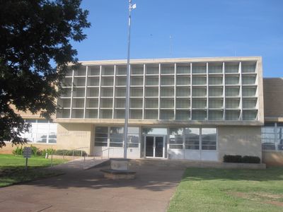
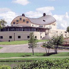
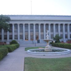
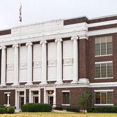
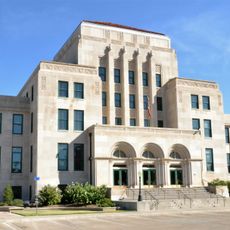
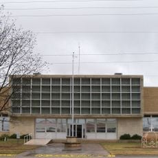
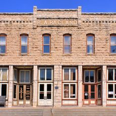
Coke County, County administration center in Robert Lee, Texas.

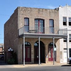
Coke County is an administrative division in Texas spanning the Edwards Plateau region with several small communities including Bronte, Robert Lee, and Tennyson. The landscape consists of open terrain with scattered rural settlements across the county.

The Texas Legislature established this county in 1889, naming it after Richard Coke, the fifteenth governor of Texas. Oil discovery in the 1940s marked a turning point in the region's economic development.

The county maintains strong connections to its ranching heritage through local events and community gatherings that celebrate agricultural traditions.

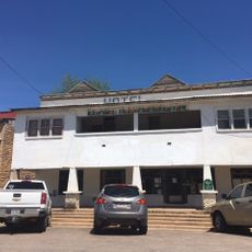
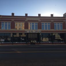
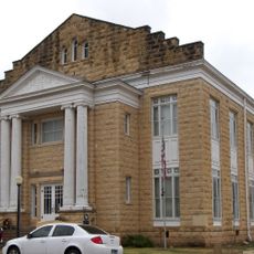
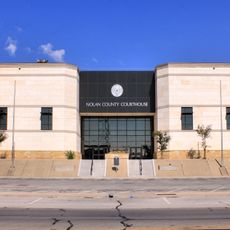
County administration in Robert Lee handles services such as vehicle registration, tax collection, and legal document processing. Visitors should note that infrastructure in this rural region is limited, with most services and businesses concentrated in the few towns scattered throughout.

The area experienced significant economic expansion in the decades following oil discovery, which substantially altered the population and activity levels across the region. This transformation reshaped local infrastructure and community development patterns.

The community of curious travelers

AroundUs brings together thousands of curated places, local tips, and hidden gems, enriched daily by 60,000 contributors worldwide.

Start exploring
GPS coordinates
31.86952,-100.54744
Latest update
December 7, 2025 20:42
Around this place
Fort Concho
United States of America

Fort Concho

47.6 km
Fort Chadbourne
United States of America

Fort Chadbourne

34 km
E.V. Spence Reservoir
United States of America

E.V. Spence Reservoir

4.5 km
San Angelo Stadium
United States of America

San Angelo Stadium

49.6 km
Foster Communications Coliseum
United States of America

Foster Communications Coliseum

41.2 km
Foster Field
United States of America

Foster Field

49.1 km
San Angelo Museum of Fine Arts
United States of America

San Angelo Museum of Fine Arts

47.2 km
Junell Center
United States of America

Junell Center

48.9 km
Olde Park Hotel
United States of America

Olde Park Hotel

58.8 km
Houston Harte University Center
United States of America

Houston Harte University Center

48.3 km
Tom Green County Courthouse
United States of America

Tom Green County Courthouse

46.5 km
J. B. Blakeney House
United States of America

J. B. Blakeney House

46.7 km
Masonic Lodge 570
United States of America

Masonic Lodge 570

46.6 km
Montgomery Ward Building
United States of America

Montgomery Ward Building

46.5 km
Mitchell County Courthouse
United States of America

Mitchell County Courthouse

65.4 km
Ballinger Carnegie Library
United States of America

Ballinger Carnegie Library

58.4 km
Freeze Building
United States of America

Freeze Building

46.8 km
Scott-Majors House
United States of America

Scott-Majors House

65.3 km
Municipal Swimming Pool
United States of America

Municipal Swimming Pool

47.2 km
San Angelo City Hall
United States of America

San Angelo City Hall

46.2 km
Sterling County Courthouse
United States of America

Sterling County Courthouse

41.8 km
Nolan County Courthouse
United States of America

Nolan County Courthouse

68.3 km
Coke County Courthhouse
United States of America

Coke County Courthhouse

6.4 km
First National Bank Building
United States of America

First National Bank Building

68.3 km
Texas Theater
United States of America

Texas Theater

23.8 km
Texas Theatre
United States of America

Texas Theatre

46.7 km
Sweetwater Commercial Historic District
United States of America

Sweetwater Commercial Historic District

68.2 km
Sixth Street Bridge
United States of America

Sixth Street Bridge

45.9 km
Show the full map
« Coke County - County administration center in Robert Lee, Texas » is provided by Around Us (aroundus.com). Images and texts are derived from Wikimedia project under a Creative Commons license. You are allowed to copy, distribute, and modify copies of this page, under the conditions set by the license, as long as this note is clearly visible.

Discover hidden gems everywhere you go!

From secret cafés to breathtaking viewpoints, skip the crowded tourist spots and find places that match your style. Our app makes it easy with voice search, smart filtering, route optimization, and insider tips from travelers worldwide. Download now for the complete mobile experience.

Around Us App Screenshot

A unique approach to discovering new places

Le Figaro

All the places worth exploring

France Info

A tailor-made excursion in just a few clicks

20 Minutes

Around Us
Travel Guide & Maps
Download

Send to your phone

QR Code
1

Open the camera app on your mobile.

2

Point at the QR code with your camera. A notification will appear.

3

Tap the notification to open the link.