Stephens County

Log in to your account

AroundUs is a community-driven map of interesting places, built by curious explorers like you. It grows with every review, story, and photo you share.
Connect to save your favorite spots, contribute locations, and create personalized routes.
Continue with Google
Continue with Apple
Continue with X
Continue with Facebook
Continue with email
By continuing, you accept our Terms and Conditions and our Privacy Policy
Create an account
Add to collection
Map
Suggest a change
Share

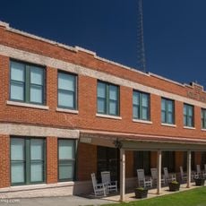
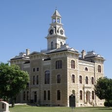
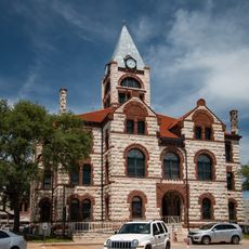
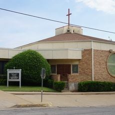
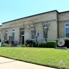
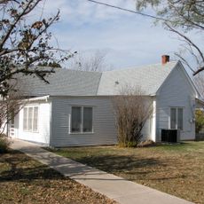
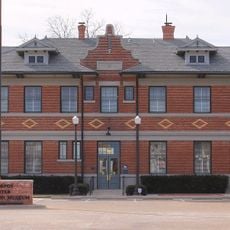
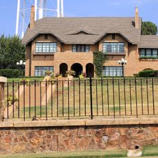
Stephens County, County administration center in Breckenridge, Texas, United States

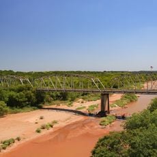
Stephens County is an administrative division in north central Texas occupying roughly 920 square miles (2,400 square kilometers) of plateau terrain. The land rises between 1,000 and 1,600 feet (305-490 meters) in elevation and is cut through by the Clear Fork of the Brazos River.

The Texas legislature created this territory in 1858 under the name Buchanan County, then changed the name to Stephens County three years later. The 1861 renaming honored Alexander Stephens, who served as Vice President of the Confederate States.

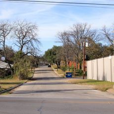
The county remains deeply rooted in ranching culture, and this way of life shapes how the landscape looks today. When you travel through the area, you see cattle herds and ranch operations that reflect what has always mattered most to people here.

The best times to visit are spring and fall when temperatures stay mild and travel conditions are easiest across the landscape. Plan ahead on what you want to see since the county covers considerable ground and you will need your own transportation to move around.

Several distinctive mountain peaks shape the visual landscape, including Gunsight Mountain, Double Mountain, and Evans Peak. These natural landmarks remain visible from many spots throughout the county and help orient visitors as they explore the plateau.

GPS coordinates: 32.69448,-98.82007

Latest update: December 8, 2025 13:44

Photos
Around this place
Baker Hotel
United States of America

Baker Hotel

67.6 km
Fort Griffin
United States of America

Fort Griffin

46.5 km
Fort Belknap
United States of America

Fort Belknap

51.3 km
Possum Kingdom State Park
United States of America

Possum Kingdom State Park

31.1 km
Fort Richardson
United States of America

Fort Richardson

83.8 km
Lake Mineral Wells State Park & Trailway
United States of America

Lake Mineral Wells State Park & Trailway

75.9 km
Conrad Hilton Center
United States of America

Conrad Hilton Center

36.9 km
Robert E. Howard Museum
United States of America

Robert E. Howard Museum

71.9 km
Barton Creek Bridge
United States of America

Barton Creek Bridge

48.8 km
Shackelford County Courthouse Historic District
United States of America

Shackelford County Courthouse Historic District

44.7 km
US 281 Bridge at the Brazos River
United States of America

US 281 Bridge at the Brazos River

67.7 km
Erath County Courthouse
United States of America

Erath County Courthouse

78.5 km
First Presbyterian Church
United States of America

First Presbyterian Church

67.2 km
Erath Memorial Arch
United States of America

Erath Memorial Arch

78.3 km
Throckmorton County Courthouse and Jail
United States of America

Throckmorton County Courthouse and Jail

63.4 km
Dawson Saloon
United States of America

Dawson Saloon

78.5 km
Fort Belknap Historic Site
United States of America

Fort Belknap Historic Site

51.3 km
First National Bank Building
United States of America

First National Bank Building

78.5 km
Conrad N. Hilton Center & Museum
United States of America

Conrad N. Hilton Center & Museum

37 km
National Theater
United States of America

National Theater

50.6 km
Majestic Theatre
United States of America

Majestic Theatre

32.5 km
Old Post Office Museum & Art Center
United States of America

Old Post Office Museum & Art Center

50.5 km
Eastland County Museum
United States of America

Eastland County Museum

32.7 km
Robert E. Howard House
United States of America

Robert E. Howard House

71.9 km
Baird Depot Museum
United States of America

Baird Depot Museum

63.6 km
State Highway 120 Bridge at the Brazos River
United States of America

State Highway 120 Bridge at the Brazos River

53.8 km
Possum Kingdom Bridge
United States of America

Possum Kingdom Bridge

42.3 km
Breckenridge Stephens Walker Home
United States of America

Breckenridge Stephens Walker Home

9.9 km
Show the full map
Reviews

Visited this place? Tap the stars to rate it and share your experience / photos with the community! Try now! You can cancel it anytime.

« Stephens County - County administration center in Breckenridge, Texas, United States » is provided by Around Us (aroundus.com). Images and texts are derived from Wikimedia project under a Creative Commons license. You are allowed to copy, distribute, and modify copies of this page, under the conditions set by the license, as long as this note is clearly visible.

Discover hidden gems everywhere you go!

From secret cafés to breathtaking viewpoints, skip the crowded tourist spots and find places that match your style. Our app makes it easy with voice search, smart filtering, route optimization, and insider tips from travelers worldwide. Download now for the complete mobile experience.

Around Us App Screenshot

A unique approach to discovering new places

Le Figaro

All the places worth exploring

France Info

A tailor-made excursion in just a few clicks

20 Minutes