Enable Location

We need your location to show you interesting places around you

Discover nearby places

Find interesting locations and hidden gems around you

Precise directions

Get accurate directions and distances to places

Your location is never shared with other users. It's only used when you tap the location button.

Bosque County

Log in to your account

Start exploring — it's free

Trusted by 62,490 travelers worldwide

Continue with Google
Continue with Apple
or

We will send you a code to connect

By continuing, you accept our Terms and Conditions and our Privacy Policy

Check your inbox

We've sent a pincode in your inbox. Please enter the code below.

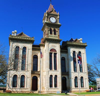
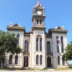
Bosque County, Administrative division in central Texas, United States.

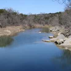
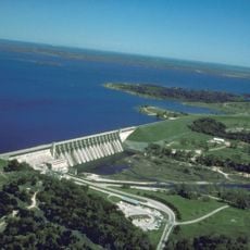
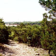
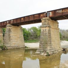
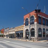
Bosque County is an administrative division in central Texas that spans a wide area encompassing small towns and rural landscapes. The Bosque River runs through its middle while the Brazos River marks its eastern boundary.

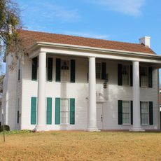
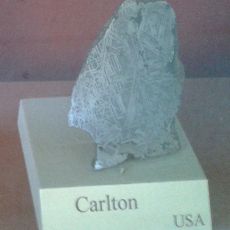
The region was named during a Spanish expedition in the 18th century when explorers mapped and named its rivers. The county was later officially established with defined boundaries set by law.

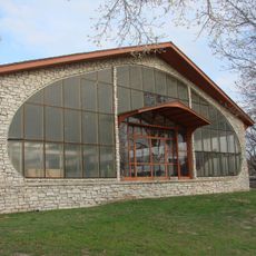
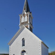
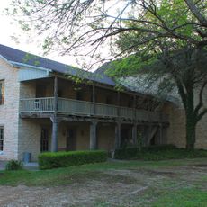
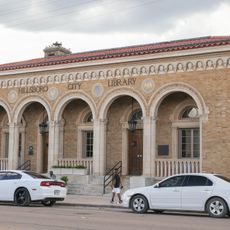
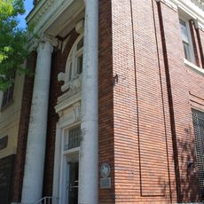
The county preserves local heritage through its collection of documents and records that residents use to trace their family histories and understand the region's past. This work keeps the stories of local people alive and accessible to visitors.

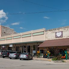
The county is easy to navigate by car with a network of rural roads connecting various towns. Visitors should know that rural areas are sparsely populated and services may be limited in some places.

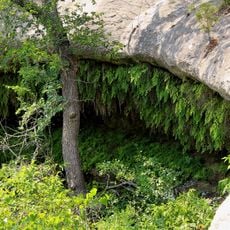
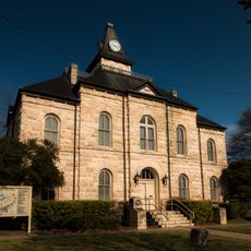
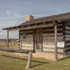
An old oak tree marks the site where voters once gathered during the county's earliest elections in the 1850s. This outdoor voting location tells the story of how civic life functioned before modern polling places existed.

The community of curious travelers

AroundUs brings together thousands of curated places, local tips, and hidden gems, enriched daily by 60,000 contributors worldwide.

Start exploring
Location
Inception
1854
Capital city
Meridian
Shares border with
Somervell County, Johnson County, Hill County, McLennan County, Coryell County, Hamilton County, Erath County
GPS coordinates
31.90000,-97.63000
Latest update
December 7, 2025 10:07
Around this place
Prairie Chapel Ranch
United States of America

Prairie Chapel Ranch

36.3 km
Dinosaur Valley State Park
United States of America

Dinosaur Valley State Park

43.2 km
Creation Evidence Museum
United States of America

Creation Evidence Museum

40.3 km
Lake Whitney
United States of America

Lake Whitney

24.8 km
Christina Crain Unit
United States of America

Christina Crain Unit

48.8 km
Fossil Rim Wildlife Center
United States of America

Fossil Rim Wildlife Center

35 km
Dr. Lane Murray Unit
United States of America

Dr. Lane Murray Unit

48 km
Cleburne State Park
United States of America

Cleburne State Park

41.4 km
St. Olaf Kirke
United States of America

St. Olaf Kirke

18.2 km
Lake Pat Cleburne
United States of America

Lake Pat Cleburne

47.7 km
Aquilla Lake
United States of America

Aquilla Lake

40.3 km
Meridian State Park
United States of America

Meridian State Park

6.9 km
Barnard's Mill
United States of America

Barnard's Mill

38.8 km
Nolan River Bridge 303-A of the Gulf, Colorado and Santa Fe Railway
United States of America

Nolan River Bridge 303-A of the Gulf, Colorado and Santa Fe Railway

35.2 km
Smith Ranch
United States of America

Smith Ranch

42.7 km
Bosque County Courthouse
United States of America

Bosque County Courthouse

3.6 km
Carlton meteorite
United States of America

Carlton meteorite

38.2 km
U.S. Post Office
United States of America

U.S. Post Office

48.7 km
Somervell County Courthouse
United States of America

Somervell County Courthouse

39.1 km
Bosque Museum
United States of America

Bosque Museum

14.4 km
Farmers National Bank
United States of America

Farmers National Bank

48.7 km
Henry Briden Cabin
United States of America

Henry Briden Cabin

44.2 km
Glen Rose Downtown Historic District
United States of America

Glen Rose Downtown Historic District

39.1 km
Adolf and Christine Godager Homesite
United States of America

Adolf and Christine Godager Homesite

15.4 km
Wilson Homesite
United States of America

Wilson Homesite

13.7 km
Clairette Schoolhouse
United States of America

Clairette Schoolhouse

48.9 km
Bosque River Bridge
United States of America

Bosque River Bridge

3.7 km
George Boutwell's Texas Collection
United States of America

George Boutwell's Texas Collection

21.1 km
Show the full map
Administrative divisions
« Bosque County - Administrative division in central Texas, United States » is provided by Around Us (aroundus.com). Images and texts are derived from Wikimedia project under a Creative Commons license. You are allowed to copy, distribute, and modify copies of this page, under the conditions set by the license, as long as this note is clearly visible.

Discover hidden gems everywhere you go!

From secret cafés to breathtaking viewpoints, skip the crowded tourist spots and find places that match your style. Our app makes it easy with voice search, smart filtering, route optimization, and insider tips from travelers worldwide. Download now for the complete mobile experience.

Around Us App Screenshot

A unique approach to discovering new places

Le Figaro

All the places worth exploring

France Info

A tailor-made excursion in just a few clicks

20 Minutes

Around Us
Travel Guide & Maps
Download

Send to your phone

QR Code
1

Open the camera app on your mobile.

2

Point at the QR code with your camera. A notification will appear.

3

Tap the notification to open the link.