Freestone County

Log in to your account

AroundUs is a community-driven map of interesting places, built by curious explorers like you. It grows with every review, story, and photo you share.
Connect to save your favorite spots, contribute locations, and create personalized routes.
Continue with Google
Continue with Apple
Continue with X
Continue with Facebook
Continue with email
By continuing, you accept our Terms and Conditions and our Privacy Policy
Create an account
Add to collection
Map
Suggest a change
Share

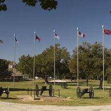
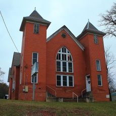
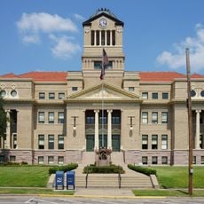
Freestone County, Administrative division in east-central Texas, US

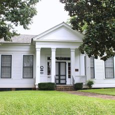
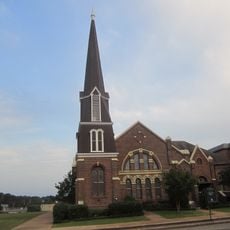
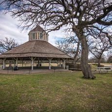
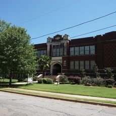
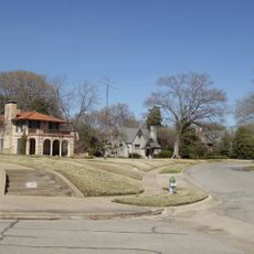
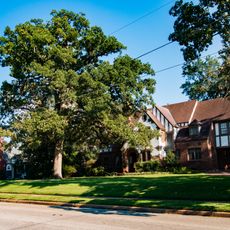
Freestone County is an administrative division in east-central Texas that covers a broad area with mixed land use. The county encompasses towns, farms, and open terrain across its expanse.

The county was established in 1850 when it separated from Limestone County and took its name from the local soil composition. This geological feature became significant to the region's identity.

The Kichai people of the Caddoan Mississippian culture first inhabited this region around 200 BC, leaving archaeological evidence of their presence.

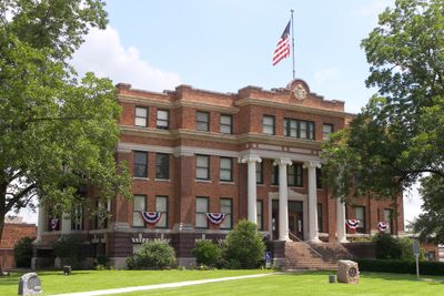
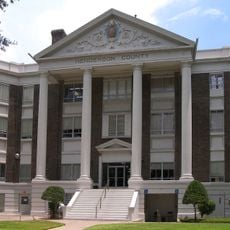
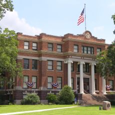
County offices are located in Fairfield and operate during standard weekday hours for processing documents and permits. Travelers should check local hours before visiting.

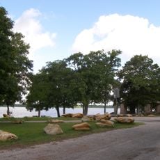
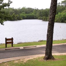
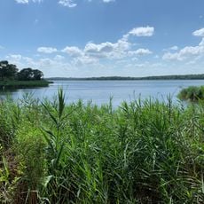
Texas Utilities Generating Company created Fairfield Lake in 1969, establishing a recreational water body spanning 14 square miles within the county.

GPS coordinates: 31.69244,-96.16296

Latest update: December 7, 2025 19:28

Photos
Around this place
Cedar Creek Reservoir
United States of America

Cedar Creek Reservoir

74.7 km
Fort Parker State Park
United States of America

Fort Parker State Park

38.1 km
Fort Boggy State Park
United States of America

Fort Boggy State Park

58.6 km
Fairfield Lake State Park
United States of America

Fairfield Lake State Park

13.2 km
United States of America

Purtis Creek State Park

76.1 km
Confederate Reunion Grounds State Historic Site
United States of America

Confederate Reunion Grounds State Historic Site

38.1 km
Millimeter Anisotropy eXperiment IMaging Array
United States of America

Millimeter Anisotropy eXperiment IMaging Array

42.8 km
Temple Beth-El
United States of America

Temple Beth-El

52.8 km
Texas State Railroad
United States of America

Texas State Railroad

56.1 km
Museum for East Texas Culture
United States of America

Museum for East Texas Culture

51.3 km
Anderson County Courthouse
United States of America

Anderson County Courthouse

51.5 km
Anderson Camp Ground
United States of America

Anderson Camp Ground

58.8 km
Howard House
United States of America

Howard House

51.6 km
First Presbyterian Church
United States of America

First Presbyterian Church

51.2 km
Henderson County Courthouse
United States of America

Henderson County Courthouse

64.1 km
Texas Hall
United States of America

Texas Hall

36.7 km
Mount Vernon African Methodist Episcopal Church
United States of America

Mount Vernon African Methodist Episcopal Church

51.8 km
Navarro County Courthouse
United States of America

Navarro County Courthouse

53.3 km
Trinity and Brazos Valley Railroad Depot and Office Building
United States of America

Trinity and Brazos Valley Railroad Depot and Office Building

13.8 km
Faulk and Gauntt Building
United States of America

Faulk and Gauntt Building

64.1 km
Confederate Reunion Grounds State Historic Site
United States of America

Confederate Reunion Grounds State Historic Site

38.3 km
Texas Theater
United States of America

Texas Theater

50.8 km
Palestine High School
United States of America

Palestine High School

51.3 km
John H. Reagan Statue
United States of America

John H. Reagan Statue

51.5 km
Palace Theater
United States of America

Palace Theater

52.8 km
Freestone County Courthouse
United States of America

Freestone County Courthouse

3.7 km
Mills Place Historic District
United States of America

Mills Place Historic District

53.6 km
Michaux Park Historic District
United States of America

Michaux Park Historic District

51.7 km
Show the full map
Reviews

Visited this place? Tap the stars to rate it and share your experience / photos with the community! Try now! You can cancel it anytime.

« Freestone County - Administrative division in east-central Texas, US » is provided by Around Us (aroundus.com). Images and texts are derived from Wikimedia project under a Creative Commons license. You are allowed to copy, distribute, and modify copies of this page, under the conditions set by the license, as long as this note is clearly visible.

Discover hidden gems everywhere you go!

From secret cafés to breathtaking viewpoints, skip the crowded tourist spots and find places that match your style. Our app makes it easy with voice search, smart filtering, route optimization, and insider tips from travelers worldwide. Download now for the complete mobile experience.

Around Us App Screenshot

A unique approach to discovering new places

Le Figaro

All the places worth exploring

France Info

A tailor-made excursion in just a few clicks

20 Minutes