Palo Pinto County

Log in to your account

AroundUs is a community-driven map of interesting places, built by curious explorers like you. It grows with every review, story, and photo you share.
Connect to save your favorite spots, contribute locations, and create personalized routes.
Continue with Google
Continue with Apple
Continue with X
Continue with Facebook
Continue with email
By continuing, you accept our Terms and Conditions and our Privacy Policy
Create an account
Add to collection
Map
Suggest a change
Share

Palo Pinto County, County administrative division in North Texas, United States.

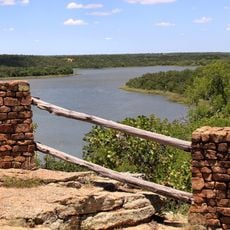
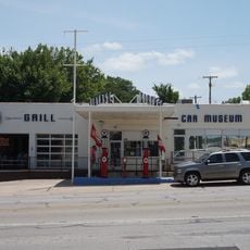
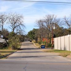
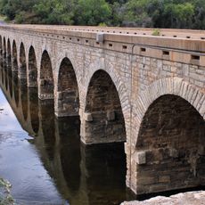
Palo Pinto County is an administrative division in North Texas that covers rolling terrain with several communities scattered throughout. The region includes Mineral Wells and other towns connected by rural landscapes and local infrastructure.

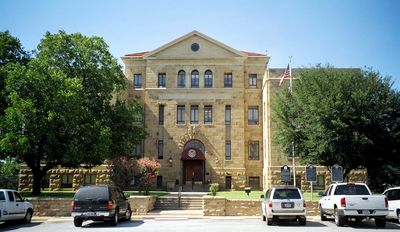
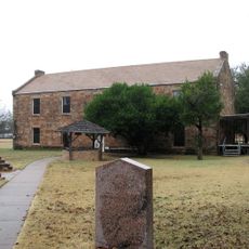
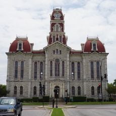
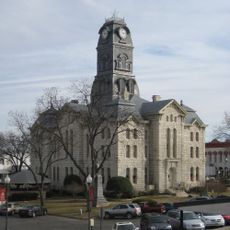
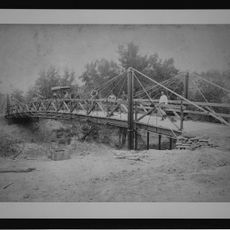
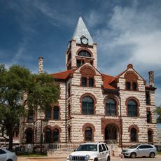
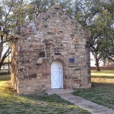
The county was established in 1856 from portions of neighboring Bosque and Navarro counties and quickly developed governmental structures. Early settlers built permanent structures including a stone courthouse and jail by 1858 to serve the growing communities.

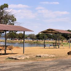
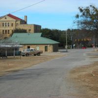
The county's name comes from Spanish explorers who called the area "palo pinto," meaning painted stick, referring to distinctive trees marked by Native Americans. Local communities still gather around these historical landmarks and regional gathering spots that reflect the area's heritage.

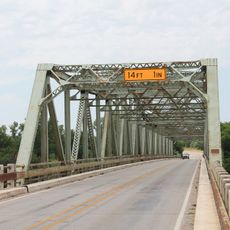
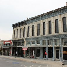
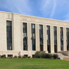
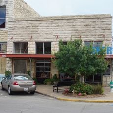
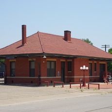
County services and offices are located in the main towns, particularly the seat of government where public services operate. Visiting the area requires a car since communities are spread across rural roads and highways.

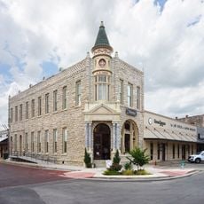
The Baker Hotel in Mineral Wells once drew visitors from across the region seeking therapeutic benefits from local mineral springs. The hotel's grand structure remains a reminder of how the area became known for water-based wellness tourism in the early 1900s.

Location: Texas

Inception: August 27, 1856

Capital city: Palo Pinto

Elevation above the sea: 358 m

Shares border with: Jack County, Parker County, Hood County, Erath County, Eastland County, Stephens County, Young County

Website: https://co.palo-pinto.tx.us

GPS coordinates: 32.75318,-98.31302

Latest update: December 20, 2025 15:49

Photos
Around this place
Fort Belknap
United States of America

Fort Belknap

59.7 km
Possum Kingdom State Park
United States of America

Possum Kingdom State Park

26.6 km
Fort Richardson
United States of America

Fort Richardson

52.5 km
Lake Mineral Wells State Park & Trailway
United States of America

Lake Mineral Wells State Park & Trailway

28.6 km
Bluff Dale Suspension Bridge
United States of America

Bluff Dale Suspension Bridge

52 km
Parker County Courthouse
United States of America

Parker County Courthouse

48.3 km
Hood County Courthouse Historic District
United States of America

Hood County Courthouse Historic District

60.5 km
Vintage Grill & Car Museum
United States of America

Vintage Grill & Car Museum

48.5 km
Barton Creek Bridge
United States of America

Barton Creek Bridge

27.7 km
US 281 Bridge at the Brazos River
United States of America

US 281 Bridge at the Brazos River

23.5 km
Weatherford Downtown Historic District
United States of America

Weatherford Downtown Historic District

48.3 km
Erath County Courthouse
United States of America

Erath County Courthouse

60.3 km
Jack County Courthouse
United States of America

Jack County Courthouse

53.8 km
Chandor Gardens
United States of America

Chandor Gardens

47.3 km
First Presbyterian Church
United States of America

First Presbyterian Church

19.6 km
Erath Memorial Arch
United States of America

Erath Memorial Arch

60.3 km
Dawson Saloon
United States of America

Dawson Saloon

60.3 km
Fort Belknap Historic Site
United States of America

Fort Belknap Historic Site

59.7 km
First National Bank Building
United States of America

First National Bank Building

60.3 km
Brazos Drive In
United States of America

Brazos Drive In

58.9 km
Granbury Opera House
United States of America

Granbury Opera House

60.3 km
National Theater
United States of America

National Theater

47.1 km
Granbury Live Theatre
United States of America

Granbury Live Theatre

60.3 km
Old Post Office Museum & Art Center
United States of America

Old Post Office Museum & Art Center

47 km
Eastland County Museum
United States of America

Eastland County Museum

61.5 km
Possum Kingdom Bridge
United States of America

Possum Kingdom Bridge

14.9 km
Granbury Railroad Depot
United States of America

Granbury Railroad Depot

59.9 km
Breckenridge Stephens Walker Home
United States of America

Breckenridge Stephens Walker Home

54.1 km
Show the full map
Reviews

Visited this place? Tap the stars to rate it and share your experience / photos with the community! Try now! You can cancel it anytime.

Administrative divisions
« Palo Pinto County - County administrative division in North Texas, United States » is provided by Around Us (aroundus.com). Images and texts are derived from Wikimedia project under a Creative Commons license. You are allowed to copy, distribute, and modify copies of this page, under the conditions set by the license, as long as this note is clearly visible.

Discover hidden gems everywhere you go!

From secret cafés to breathtaking viewpoints, skip the crowded tourist spots and find places that match your style. Our app makes it easy with voice search, smart filtering, route optimization, and insider tips from travelers worldwide. Download now for the complete mobile experience.

Around Us App Screenshot

A unique approach to discovering new places

Le Figaro

All the places worth exploring

France Info

A tailor-made excursion in just a few clicks

20 Minutes