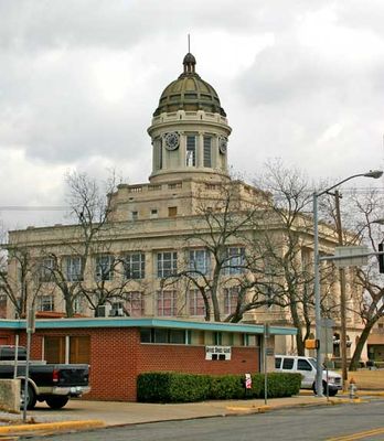
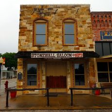
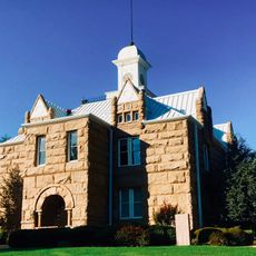
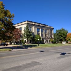
Carter County, Administrative division in Oklahoma, United States.
Carter County is an administrative division in Oklahoma encompassing several municipalities and organized territories. The area functions as a governmental entity managing local services and regional administration across its jurisdiction.
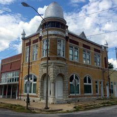
The county was established as part of Oklahoma's early territorial governance system in the 1800s. Its creation reflected the expansion of administrative structures needed to manage the growing population across the region.
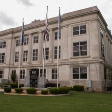
The county administration connects with local communities through departments that handle health services, law enforcement, and public records. These services shape how residents interact with local government in their daily lives.
Residents can access county services and information through the official website, which provides details on permits, departmental contacts, and public records. The online platform serves as the main resource for government information and administrative inquiries.
The county operates an anonymous tip line system that allows citizens to report concerns directly to authorities while keeping their identity confidential. This system gives residents a way to address issues without revealing who they are.
The community of curious travelers
AroundUs brings together thousands of curated places, local tips, and hidden gems, enriched daily by 60,000 contributors worldwide.