Enable Location

We need your location to show you interesting places around you

Discover nearby places

Find interesting locations and hidden gems around you

Precise directions

Get accurate directions and distances to places

Your location is never shared with other users. It's only used when you tap the location button.

Montague County

Log in to your account

Start exploring — it's free

Trusted by 62,488 travelers worldwide

Continue with Google
Continue with Apple
or

We will send you a code to connect

By continuing, you accept our Terms and Conditions and our Privacy Policy

Check your inbox

We've sent a pincode in your inbox. Please enter the code below.

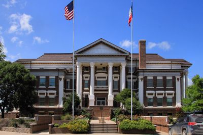
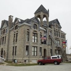
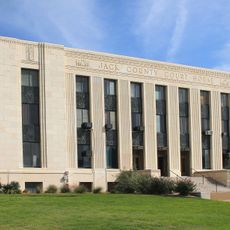
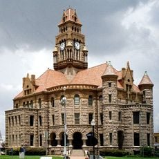
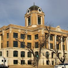
Montague County, County administrative center in north Texas, United States.

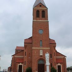
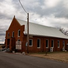
Montague County stretches across northern Texas as a rural area marked by prairie grasslands and river valleys. The county contains several small towns and farming communities that define its landscape.

The county was established in 1857 and named after Daniel Montague, a surveyor and soldier involved in earlier conflicts. This founding occurred during an era of westward expansion across Texas.

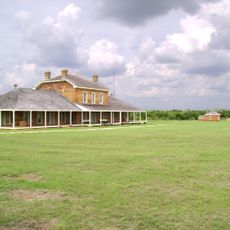
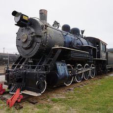
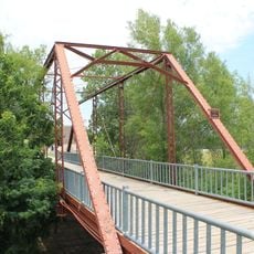
The Red River region shaped the area as a major cattle trading route during the 1800s. Local communities developed around these established pathways that connected ranches to larger markets.

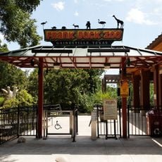
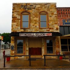
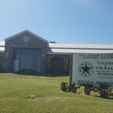
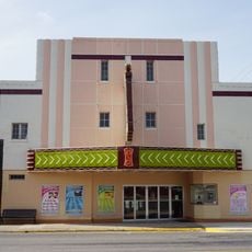
The area works well for visitors interested in exploring rural Texas and its early history. Several small towns serve as bases to visit different parts of the county.

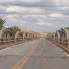
A portion of the Lyndon B. Johnson National Grassland covers part of the county, offering space for outdoor recreation. This protected area reveals the natural diversity of this north Texas region.

The community of curious travelers

AroundUs brings together thousands of curated places, local tips, and hidden gems, enriched daily by 60,000 contributors worldwide.

Start exploring
Location
Inception
1858
Capital city
Montague
Shares border with
Jefferson County, Love County, Cooke County, Wise County, Jack County, Clay County
GPS coordinates
33.67000,-97.73000
Latest update
December 7, 2025 10:08
Around this place
Newby-McMahon Building
United States of America

Newby-McMahon Building

75.4 km
WinStar World Casino
United States of America

WinStar World Casino

56.2 km
Professional Wrestling Hall of Fame and Museum
United States of America

Professional Wrestling Hall of Fame and Museum

75.5 km
Waggoner Mansion
United States of America

Waggoner Mansion

50.6 km
Fort Richardson
United States of America

Fort Richardson

65.4 km
Frank Buck Zoo
United States of America

Frank Buck Zoo

53.6 km
Wichita Falls Railroad Museum
United States of America

Wichita Falls Railroad Museum

75.2 km
Stonewall Saloon
United States of America

Stonewall Saloon

19.5 km
Border Casino
United States of America

Border Casino

54.7 km
State Highway 79 Bridge at the Red River
United States of America

State Highway 79 Bridge at the Red River

61.5 km
Administration Building, Decatur Baptist College
United States of America

Administration Building, Decatur Baptist College

51.5 km
St. Peter's Roman Catholic Church
United States of America

St. Peter's Roman Catholic Church

46.8 km
Irving Baptist Church
United States of America

Irving Baptist Church

51.2 km
Rector Road Bridge
United States of America

Rector Road Bridge

65.8 km
Jack County Courthouse
United States of America

Jack County Courthouse

64.1 km
First Presbyterian Church
United States of America

First Presbyterian Church

60.6 km
Locke Field
United States of America

Locke Field

54.2 km
Love County Courthouse
United States of America

Love County Courthouse

63.7 km
Love County Jail and Sheriff's Residence
United States of America

Love County Jail and Sheriff's Residence

63.6 km
Chapel Creek Ranch Wedding & Event Venue
United States of America

Chapel Creek Ranch Wedding & Event Venue

65.5 km
Brushy Creek Vineyards

Brushy Creek Vineyards

31.6 km
Wichita Theatre and Opera House
United States of America

Wichita Theatre and Opera House

75.3 km
Wise County Courthouse
United States of America

Wise County Courthouse

50.3 km
Tales N' Trails Museum
United States of America

Tales N' Trails Museum

13.1 km
Cooke County Courthouse
United States of America

Cooke County Courthouse

54.4 km
State Theater
United States of America

State Theater

54.5 km
Depot Square Historic District
United States of America

Depot Square Historic District

75.4 km
Lake Murray State Park
United States of America

Lake Murray State Park

76.4 km
Show the full map
Administrative divisions
« Montague County - County administrative center in north Texas, United States » is provided by Around Us (aroundus.com). Images and texts are derived from Wikimedia project under a Creative Commons license. You are allowed to copy, distribute, and modify copies of this page, under the conditions set by the license, as long as this note is clearly visible.

Discover hidden gems everywhere you go!

From secret cafés to breathtaking viewpoints, skip the crowded tourist spots and find places that match your style. Our app makes it easy with voice search, smart filtering, route optimization, and insider tips from travelers worldwide. Download now for the complete mobile experience.

Around Us App Screenshot

A unique approach to discovering new places

Le Figaro

All the places worth exploring

France Info

A tailor-made excursion in just a few clicks

20 Minutes

Around Us
Travel Guide & Maps
Download

Send to your phone

QR Code
1

Open the camera app on your mobile.

2

Point at the QR code with your camera. A notification will appear.

3

Tap the notification to open the link.