Enable Location

We need your location to show you interesting places around you

Discover nearby places

Find interesting locations and hidden gems around you

Precise directions

Get accurate directions and distances to places

Your location is never shared with other users. It's only used when you tap the location button.

Log in to your account

Start exploring — it's free

Trusted by 62,520 travelers worldwide

Continue with Google
Continue with Apple
or

We will send you a code to connect

By continuing, you accept our Terms and Conditions and our Privacy Policy

Check your inbox

We've sent a pincode in your inbox. Please enter the code below.

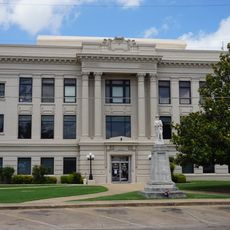
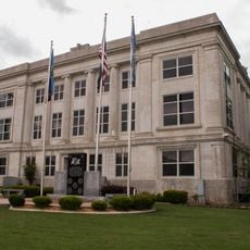
Boggy Depot, Oklahoma, human settlement in United States of America

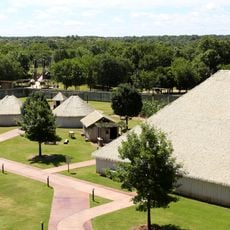
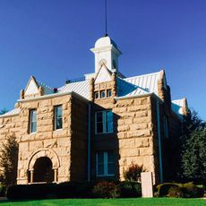
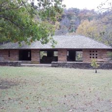
Boggy Depot, Oklahoma is a former settlement in Oklahoma that is now a ghost town and historic site. The remnants include a cemetery, old stone building foundations, and historical markers that document a place where people once lived and conducted daily activities.

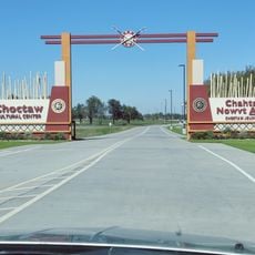
The settlement was founded in 1837 by Chickasaw Indians and became an administrative center for the Choctaw Nation between 1858 and 1860. After the Civil War, the population declined, and when a railroad bypassed the location in 1872, residents relocated to nearby areas.

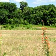
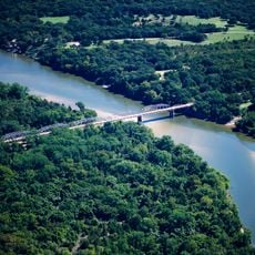
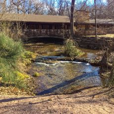
The place takes its name from a nearby creek known for its muddy waters, which was important to early settlers. It served as a meeting point where Choctaw, Chickasaw, and travelers from different backgrounds gathered to trade and conduct business.

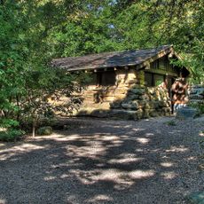
The site is now located within a park where visitors can walk around and explore the historic remains on foot. It is best to visit during daylight hours and wear appropriate footwear, as the ground can be uneven and facilities are minimal.

The term 'Oklahoma' was coined by Chief Allen Wright from this location in 1866, a name now used for the entire state. Additionally, musician Jerry Cantrell named his debut solo album after this place, drawing inspiration from his family history, showing how the abandoned settlement continues to live on in art and culture.

The community of curious travelers

AroundUs brings together thousands of curated places, local tips, and hidden gems, enriched daily by 60,000 contributors worldwide.

Start exploring
Location
GPS coordinates
34.32028,-96.31417
Latest update
February 7, 2026 11:01
Around this place
Lake Texoma
United States of America

Lake Texoma

59.3 km
Choctaw Casino Resort
United States of America

Choctaw Casino Resort

42 km
Fort Washita
United States of America

Fort Washita

32.3 km
Lake of the Arbuckles
United States of America

Lake of the Arbuckles

66.8 km
Eisenhower State Park
United States of America

Eisenhower State Park

62.2 km
Chickasaw Cultural Center
United States of America

Chickasaw Cultural Center

65.5 km
AT6 Monument
United States of America

AT6 Monument

65.2 km
Ada Gaming Center
United States of America

Ada Gaming Center

60.7 km
Wintersmith Park Historic District
United States of America

Wintersmith Park Historic District

57.9 km
Tishomingo National Wildlife Refuge
United States of America

Tishomingo National Wildlife Refuge

34.9 km
Chickasaw Nation Capitols
United States of America

Chickasaw Nation Capitols

34.8 km
State Highway No. 78 Bridge at the Red River
United States of America

State Highway No. 78 Bridge at the Red River

64.1 km
Masonic Temple
United States of America

Masonic Temple

18.9 km
Pontotoc County Courthouse
United States of America

Pontotoc County Courthouse

60.5 km
Oklahoma Presbyterian College
United States of America

Oklahoma Presbyterian College

36.4 km
Ada Arts and Heritage Center
United States of America

Ada Arts and Heritage Center

60.2 km
First Methodist Church Building
United States of America

First Methodist Church Building

18.6 km
Three Valley Museum
United States of America

Three Valley Museum

37.1 km
Robert E. Lee School
United States of America

Robert E. Lee School

37.4 km
Bryan County Courthouse
United States of America

Bryan County Courthouse

37 km
Murray County Courthouse
United States of America

Murray County Courthouse

64 km
Travertine Creek
United States of America

Travertine Creek

63.7 km
Marshall County Courthouse
United States of America

Marshall County Courthouse

49.1 km
Travertine Nature Center
United States of America

Travertine Nature Center

61.8 km
Choctaw Cultural Center
United States of America

Choctaw Cultural Center

40.8 km
Cold Springs Campground Comfort Station #30
United States of America

Cold Springs Campground Comfort Station #30

62.4 km
Bromide Pavilion
United States of America

Bromide Pavilion

64.5 km
Cold Springs Campground
United States of America

Cold Springs Campground

62.4 km
Show the full map
« Boggy Depot, Oklahoma - human settlement in United States of America » is provided by Around Us (aroundus.com). Images and texts are derived from Wikimedia project under a Creative Commons license. You are allowed to copy, distribute, and modify copies of this page, under the conditions set by the license, as long as this note is clearly visible.

Discover hidden gems everywhere you go!

From secret cafés to breathtaking viewpoints, skip the crowded tourist spots and find places that match your style. Our app makes it easy with voice search, smart filtering, route optimization, and insider tips from travelers worldwide. Download now for the complete mobile experience.

Around Us App Screenshot

A unique approach to discovering new places

Le Figaro

All the places worth exploring

France Info

A tailor-made excursion in just a few clicks

20 Minutes

Around Us
Travel Guide & Maps
Download

Send to your phone

QR Code
1

Open the camera app on your mobile.

2

Point at the QR code with your camera. A notification will appear.

3

Tap the notification to open the link.