Enable Location

We need your location to show you interesting places around you

Discover nearby places

Find interesting locations and hidden gems around you

Precise directions

Get accurate directions and distances to places

Your location is never shared with other users. It's only used when you tap the location button.

Bryan County

Log in to your account

Start exploring — it's free

Trusted by 62,502 travelers worldwide

Continue with Google
Continue with Apple
or

We will send you a code to connect

By continuing, you accept our Terms and Conditions and our Privacy Policy

Check your inbox

We've sent a pincode in your inbox. Please enter the code below.

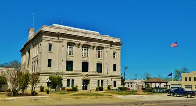
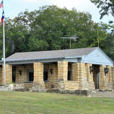
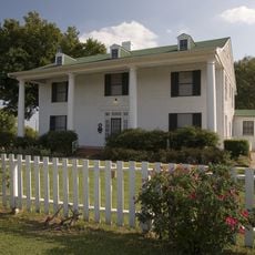
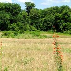
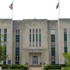
Bryan County, Administrative division in Texas, United States

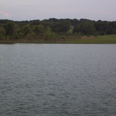
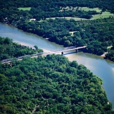
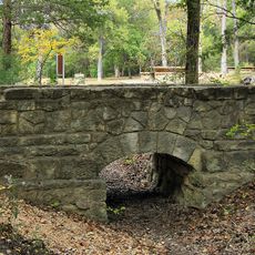
Bryan County is an administrative division in southeastern Texas that combines urban residential zones with farmland and open rural areas. The region encompasses diverse landscape types spread across its territory.

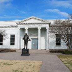
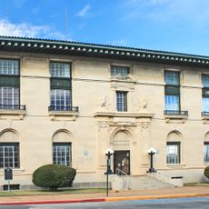
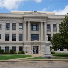
The administrative structure formed in the late 1800s as the region shifted from an agricultural base toward modern governance and services. This transformation shaped the area's growth and infrastructure across generations.

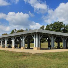
The county organizes annual Holiday Magic celebrations at Sue Haswell Memorial Park, bringing together families for seasonal festivities and community activities.

The county provides an online portal where residents can access municipal services, report issues, and view geographic information maps. Digital tools make it straightforward to handle everyday administrative needs.

Local authorities actively protect water resources through legal measures against exploitation from outside interests while conducting regular maintenance checks of sanitary systems. These safeguards represent an ongoing commitment to environmental stewardship.

The community of curious travelers

AroundUs brings together thousands of curated places, local tips, and hidden gems, enriched daily by 60,000 contributors worldwide.

Start exploring
GPS coordinates
33.95386,-96.31548
Latest update
December 7, 2025 19:26
Around this place
Lake Texoma
United States of America

Lake Texoma

27.2 km
Choctaw Casino Resort
United States of America

Choctaw Casino Resort

9.1 km
Eisenhower Birthplace State Historic Site
United States of America

Eisenhower Birthplace State Historic Site

30.5 km
Fort Washita
United States of America

Fort Washita

27.2 km
Eisenhower State Park
United States of America

Eisenhower State Park

31.4 km
Bonham State Park
United States of America

Bonham State Park

48.3 km
Sam Rayburn House Museum
United States of America

Sam Rayburn House Museum

43.9 km
Tishomingo National Wildlife Refuge
United States of America

Tishomingo National Wildlife Refuge

39.5 km
Fannin County Courthouse
United States of America

Fannin County Courthouse

43.8 km
State Highway No. 78 Bridge at the Red River
United States of America

State Highway No. 78 Bridge at the Red River

25 km
Sam Rayburn Library and Museum
United States of America

Sam Rayburn Library and Museum

43.3 km
Masonic Temple
United States of America

Masonic Temple

51.1 km
Oklahoma Presbyterian College
United States of America

Oklahoma Presbyterian College

8.8 km
Paul Brown Federal Building and United States Courthouse
United States of America

Paul Brown Federal Building and United States Courthouse

44.4 km
First Methodist Church Building
United States of America

First Methodist Church Building

51 km
Three Valley Museum
United States of America

Three Valley Museum

7.3 km
Robert E. Lee School
United States of America

Robert E. Lee School

7.6 km
Bryan County Courthouse
United States of America

Bryan County Courthouse

7.4 km
Choctaw Cultural Center
United States of America

Choctaw Cultural Center

9.8 km
Harber Wildlife Museum
United States of America

Harber Wildlife Museum

38.8 km
Sam Rayburn House State Historic Site
United States of America

Sam Rayburn House State Historic Site

43.9 km
Eisenhower Veterans Monument
United States of America

Eisenhower Veterans Monument

35.4 km
Bonham State Park Civilian Conservation Corps Footbridge
United States of America

Bonham State Park Civilian Conservation Corps Footbridge

48.3 km
Bonham State Park Headquarters
United States of America

Bonham State Park Headquarters

48 km
Bonham State Park Boathouse
United States of America

Bonham State Park Boathouse

48 km
Bonham State Park Pavilion
United States of America

Bonham State Park Pavilion

48 km
McClellan-Cunningham House
United States of America

McClellan-Cunningham House

43.4 km
Choctaw Creek Bridge
United States of America

Choctaw Creek Bridge

37.1 km
Show the full map
« Bryan County - Administrative division in Texas, United States » is provided by Around Us (aroundus.com). Images and texts are derived from Wikimedia project under a Creative Commons license. You are allowed to copy, distribute, and modify copies of this page, under the conditions set by the license, as long as this note is clearly visible.

Discover hidden gems everywhere you go!

From secret cafés to breathtaking viewpoints, skip the crowded tourist spots and find places that match your style. Our app makes it easy with voice search, smart filtering, route optimization, and insider tips from travelers worldwide. Download now for the complete mobile experience.

Around Us App Screenshot

A unique approach to discovering new places

Le Figaro

All the places worth exploring

France Info

A tailor-made excursion in just a few clicks

20 Minutes

Around Us
Travel Guide & Maps
Download

Send to your phone

QR Code
1

Open the camera app on your mobile.

2

Point at the QR code with your camera. A notification will appear.

3

Tap the notification to open the link.