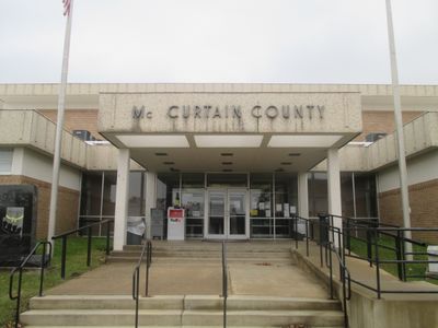
McCurtain County, Administrative division in southeastern Oklahoma, United States.
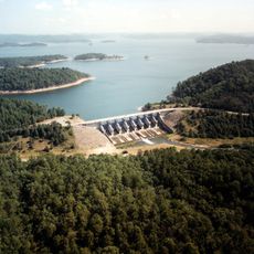
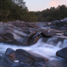
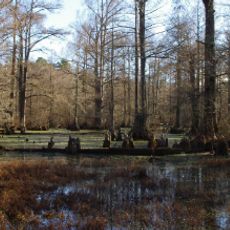
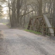
McCurtain County covers an area of diverse terrain, with forested hills and mountains in the north transitioning to river valleys and lowlands in the south. The landscape shifts between wooded ridges and open bottoms, creating varied natural settings throughout the region.
The territory was originally part of a Choctaw Nation district before becoming a separate county in 1907 when Oklahoma achieved statehood. This transition marked a major shift in how the region was organized and governed.
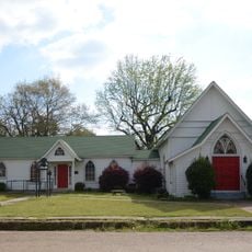
The area is home to Choctaw Nation members, white settlers, and African American communities whose traditions shape how people live together today. These different groups have woven their customs into local celebrations, family gatherings, and everyday practices throughout the region.
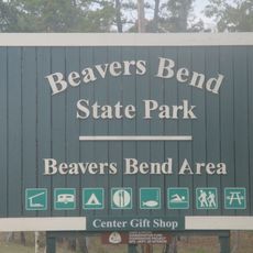
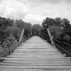
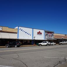
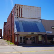
The area is best explored by car, as it is rural and spread out with limited built-up infrastructure. Main roads connect the scattered towns, and larger communities serve as convenient bases for visiting different parts of the county.
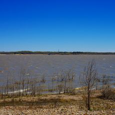
The Little River flows through the county and reaches the lowest elevation point in the entire state of Oklahoma at its mouth. This geographic feature makes the southern boundary region physically distinctive within the state.
The community of curious travelers
AroundUs brings together thousands of curated places, local tips, and hidden gems, enriched daily by 60,000 contributors worldwide.