Chest opened
+${chestReward.xp} XP
Explorer
NOUVEAU ×${chestReward.collectible.quantity}
tapez pour fermer

See the monuments around you in AR Open chests in the app

Around Us is built for your phone — point your camera at the streets and discover the monuments and places around you in augmented reality. Around Us is built for your phone — chests unlock when you walk, explore and capture nearby places.

Enable Location

We need your location to show you interesting places around you

Discover nearby places

Find interesting locations and hidden gems around you

Precise directions

Get accurate directions and distances to places

Your location is never shared with other users. It's only used when you tap the location button.

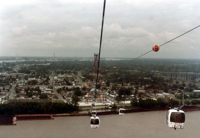
Mississippi Aerial River Transit

Log in to your account

Start exploring — it's free

Trusted by 85,669 travelers worldwide

Continue with Google
Continue with Apple
or

We will send you a code to connect

By continuing, you accept our Terms and Conditions and our Privacy Policy

Check your inbox

We've sent a pincode in your inbox. Please enter the code below.

Mississippi Aerial River Transit
Discussion Reviews 1 Photos
5.5k Popularity

Mississippi Aerial River Transit, Gondola lift in New Orleans, US

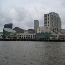
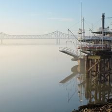
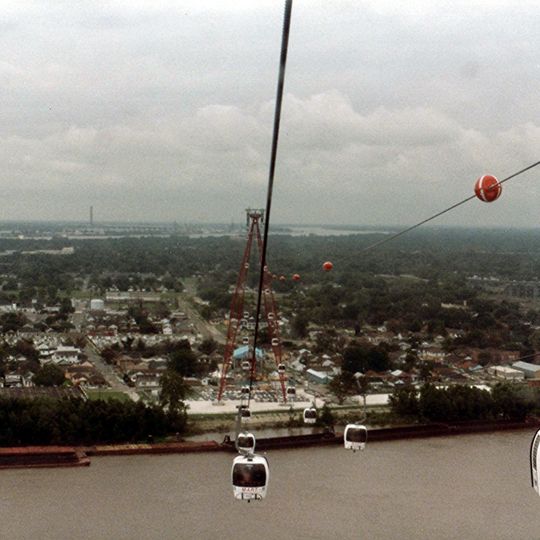
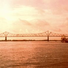
The Mississippi Aerial River Transit was a cable car system that crossed the Mississippi River at about 300 feet high, connecting the Warehouse District to New Orleans' West Bank. The system transported passengers over the wide river in roughly four minutes per trip.

The cable car system opened in 1984 for the Louisiana World Exposition and was the first urban commuter gondola system in the United States. After operating for just one year, the system closed and never reopened.

The system received a blessing from Archbishop Philip Hannan at its opening, showing how locals connected tradition with modern technology. This blend of the spiritual and the practical remains a defining feature of how New Orleans embraces innovation.

The closed route can be viewed from the Warehouse District, where visitors can see remains and information about the historic project. Historical markers and information signs along the area explain the route and explain the system's past significance.

After closure, several gondola cars were repurposed as fishing huts and restaurant dining areas at different locations around the city. This second life of the cable cars shows how locals creatively adapted old structures for new uses.

The community of curious travelers

AroundUs brings together thousands of curated places, local tips, and hidden gems, enriched daily by 60,000 contributors worldwide.
Start exploring
Location
Inception
1984
GPS coordinates
29.94440,-90.06250
Latest update
August 30, 2026 12:49
Around this place
National World War II Museum
United States of America

National World War II Museum

0.5 mi
Crescent City Connection
United States of America

Crescent City Connection

0.5 mi
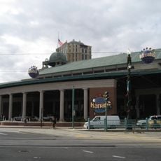
Harrah's New Orleans
United States of America

Harrah's New Orleans

0.4 mi
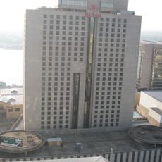
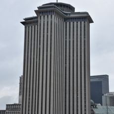
Hilton New Orleans Riverside
United States of America

Hilton New Orleans Riverside

0.3 mi
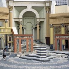
Piazza d'Italia
United States of America

Piazza d'Italia

0.3 mi
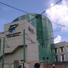
Aquarium of the Americas
United States of America

Aquarium of the Americas

0.5 mi
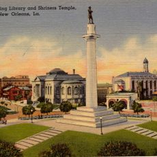
Robert E. Lee Monument
United States of America

Robert E. Lee Monument

0.6 mi
2 Canal Street
United States of America

2 Canal Street

0.3 mi
Lafayette Square
United States of America

Lafayette Square

0.5 mi
Ogden Museum of Southern Art
United States of America

Ogden Museum of Southern Art

0.5 mi
Gallier Hall
United States of America

Gallier Hall

0.5 mi
United States Custom House
United States of America

United States Custom House

0.6 mi
One Canal Place
United States of America

One Canal Place

0.5 mi
Confederate Memorial Hall
United States of America

Confederate Memorial Hall

0.5 mi
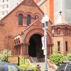
St. Patrick's Church
United States of America

St. Patrick's Church

0.5 mi
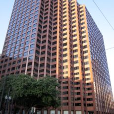
Pan American Life Center
United States of America

Pan American Life Center

0.6 mi
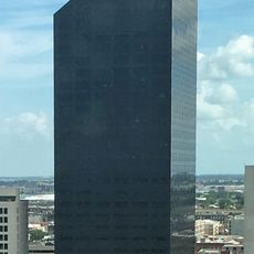
Texaco Center
United States of America

Texaco Center

0.4 mi
Contemporary Arts Center
United States of America

Contemporary Arts Center

0.5 mi
The Howlin' Wolf
United States of America

The Howlin' Wolf

0.2 mi
Hale Boggs Federal Complex
United States of America

Hale Boggs Federal Complex

0.5 mi
Poydras Center
United States of America

Poydras Center

0.6 mi
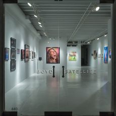
Boyd Satellite Gallery
United States of America

Boyd Satellite Gallery

0.4 mi
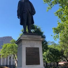
Franklin Monument
United States of America

Franklin Monument

0.5 mi
Entergy Giant Screen Theater
United States of America

Entergy Giant Screen Theater

0.4 mi
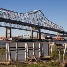
Crescent City Connection
United States of America

Crescent City Connection

0.5 mi
Crescent City Connection
United States of America

Crescent City Connection

0.5 mi
McDonogh Monument
United States of America

McDonogh Monument

0.6 mi
Clay Monument
United States of America

Clay Monument

0.5 mi
Show the full map
Reviews
Share your experience

No review yet

Discussions
Start a discussion...

No discussion yet

« Mississippi Aerial River Transit - Gondola lift in New Orleans, US » is provided by Around Us (aroundus.com). Images and texts are derived from Wikimedia project under a Creative Commons license. You are allowed to copy, distribute, and modify copies of this page, under the conditions set by the license, as long as this note is clearly visible.

Discover hidden gems everywhere you go!

From secret cafés to breathtaking viewpoints, skip the crowded tourist spots and find places that match your style. Our app makes it easy with voice search, smart filtering, route optimization, and insider tips from travelers worldwide. Download now for the complete mobile experience.
Around Us App Screenshot

A unique approach to discovering new places

Le Figaro

All the places worth exploring

France Info

A tailor-made excursion in just a few clicks

20 Minutes

Around Us
Travel Guide & Maps
Download

Send to your phone

QR Code
1

Open the camera app on your mobile.

2

Point at the QR code with your camera. A notification will appear.

3

Tap the notification to open the link.