Enable Location

We need your location to show you interesting places around you

Discover nearby places

Find interesting locations and hidden gems around you

Precise directions

Get accurate directions and distances to places

Your location is never shared with other users. It's only used when you tap the location button.

Marksville

Log in to your account

Start exploring — it's free

Trusted by 61,556 travelers worldwide

Continue with Google
Continue with Apple
or

We will send you a code to connect

By continuing, you accept our Terms and Conditions and our Privacy Policy

Check your inbox

We've sent a pincode in your inbox. Please enter the code below.

Marksville, city in Louisiana, United States

Description

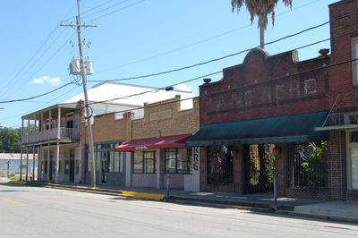
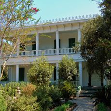
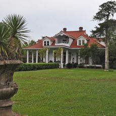
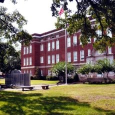
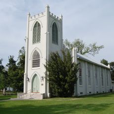
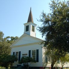
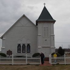
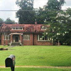
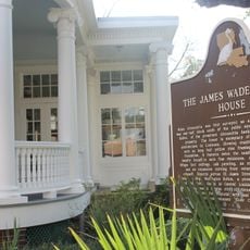
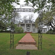
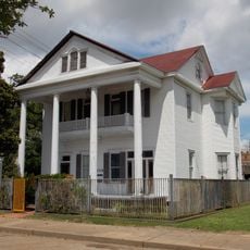
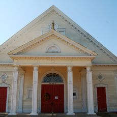
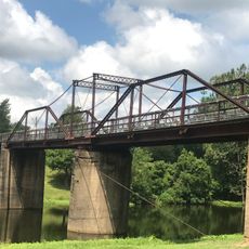
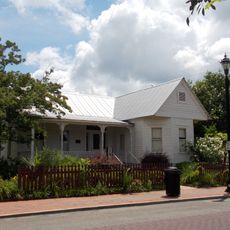
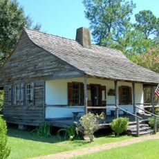
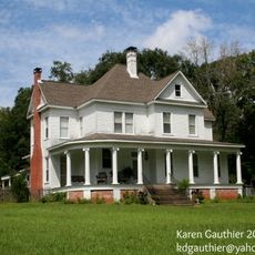
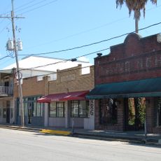
Marksville is the county seat of Avoyelles Parish in Louisiana and serves as the administrative and economic hub of the region. The city sits along the Cane River and features a mix of historic buildings and modern facilities that reflect the area's development.

History

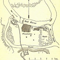
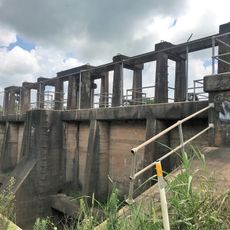
The city was founded in the 19th century and grew into an important trading center for the plantation and agricultural economy of the area. Its development became tied to the Cane River infrastructure, which enabled commerce and transport.

Practical

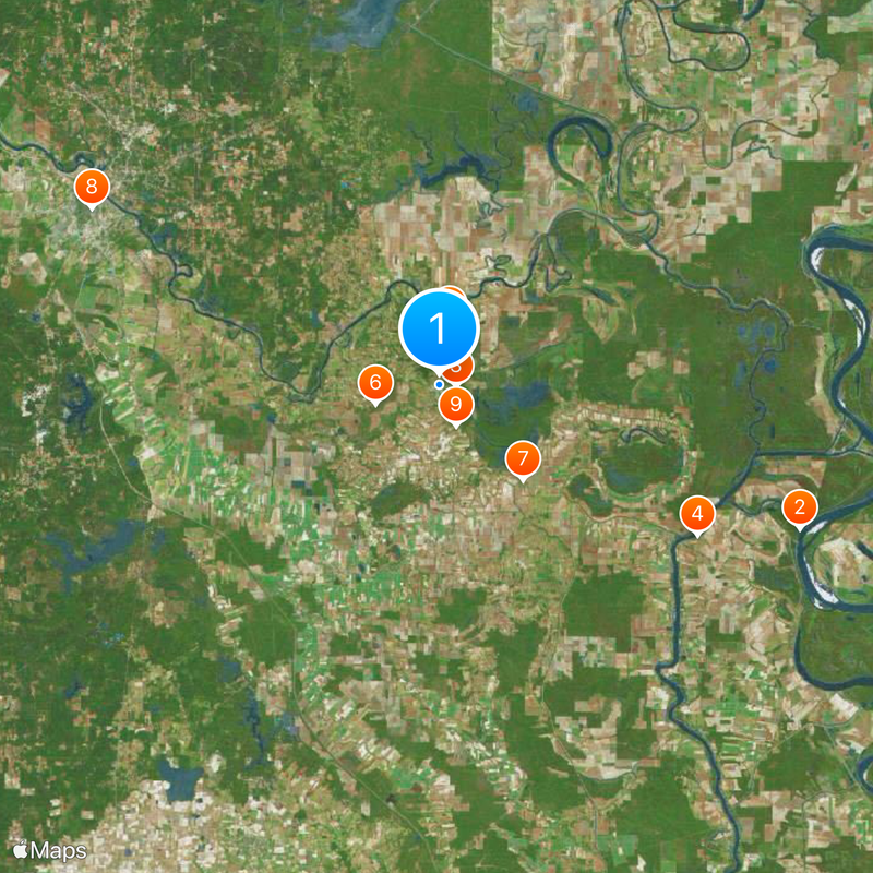
Access is most straightforward via Louisiana's main highways that connect the city to surrounding communities. The city's layout is visitor-friendly, with clear streets and services concentrated around the administrative core.

Location
Inception
1794
Elevation above the sea
25 m
GPS coordinates
31.12639,-92.06583
Latest update
December 20, 2025 15:24

AroundUs brings together thousands of curated places, local tips, and hidden gems, enriched daily by 60,000 contributors worldwide. Discover all places nearby (Avoyelles Parish).

Around this place
Old River Control Structure
United States of America

Old River Control Structure

41.2 km
Marksville Prehistoric Indian Site
United States of America

Marksville Prehistoric Indian Site

1.7 km
White Hall Plantation House
United States of America

White Hall Plantation House

31.7 km
Fort DeRussy
United States of America

Fort DeRussy

6.5 km
Grand Cote National Wildlife Refuge
United States of America

Grand Cote National Wildlife Refuge

7.1 km
Avoyelles High School
United States of America

Avoyelles High School

13.4 km
B'nai Israel Traditional Synagogue
United States of America

B'nai Israel Traditional Synagogue

41.4 km
St. Paul Lutheran Church
United States of America

St. Paul Lutheran Church

4.6 km
Oak Hall
United States of America

Oak Hall

29.6 km
Lecompte High School
United States of America

Lecompte High School

32.4 km
Trinity Episcopal Church
United States of America

Trinity Episcopal Church

24.3 km
Bayou Rouge Baptist Church
United States of America

Bayou Rouge Baptist Church

19.4 km
Greenhouse Site
United States of America

Greenhouse Site

3.4 km
White's Chapel United Methodist Church
United States of America

White's Chapel United Methodist Church

35.1 km
Thomas A. Lemoine House
United States of America

Thomas A. Lemoine House

12.5 km
James Wade Bolton House
United States of America

James Wade Bolton House

41.2 km
Alexandria National Cemetery
United States of America

Alexandria National Cemetery

41.1 km
Alexandria Hall
United States of America

Alexandria Hall

40.9 km
Frithland
United States of America

Frithland

24.1 km
Bland House
United States of America

Bland House

41.2 km
St. Mary's Assumption Church
United States of America

St. Mary's Assumption Church

15.6 km
Sarto Bridge
United States of America

Sarto Bridge

26.7 km
Arna Wendell Bontemps House
United States of America

Arna Wendell Bontemps House

41.3 km
Hypolite Bordelon House
United States of America

Hypolite Bordelon House

222 m
Alexander State Forest Headquarters Building
United States of America

Alexander State Forest Headquarters Building

39 km
Cottingham House
United States of America

Cottingham House

40.9 km
Marksville Commercial Historic District
United States of America

Marksville Commercial Historic District

91 m
Bordelonville Floodgate
United States of America

Bordelonville Floodgate

19.4 km
Show the full map
« Marksville - city in Louisiana, United States » is provided by Around Us (aroundus.com). Images and texts are derived from Wikimedia project under a Creative Commons license. You are allowed to copy, distribute, and modify copies of this page, under the conditions set by the license, as long as this note is clearly visible.

Discover hidden gems everywhere you go!

From secret cafés to breathtaking viewpoints, skip the crowded tourist spots and find places that match your style. Our app makes it easy with voice search, smart filtering, route optimization, and insider tips from travelers worldwide. Download now for the complete mobile experience.

Around Us App Screenshot

A unique approach to discovering new places

Le Figaro

All the places worth exploring

France Info

A tailor-made excursion in just a few clicks

20 Minutes

Around Us
Travel Guide & Maps
Download

Send to your phone

QR Code
1

Open the camera app on your mobile.

2

Point at the QR code with your camera. A notification will appear.

3

Tap the notification to open the link.