Avoyelles Parish

Log in to your account

AroundUs is a community-driven map of interesting places, built by curious explorers like you. It grows with every review, story, and photo you share.
Connect to save your favorite spots, contribute locations, and create personalized routes.
By continuing, you accept our Terms and Conditions and our Privacy Policy
Add to collection
Map
Suggest a change
Share

Avoyelles Parish, Parish administrative division in Louisiana, United States.

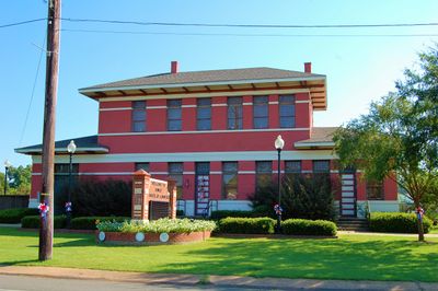
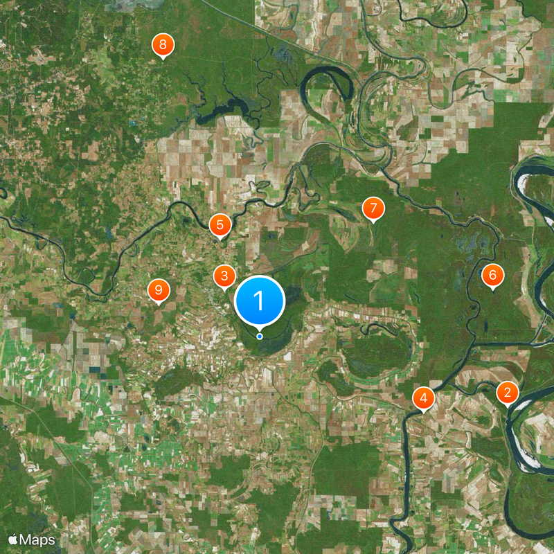
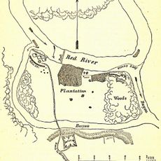
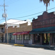
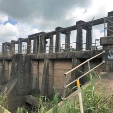
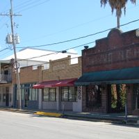
Avoyelles Parish is an administrative division in central eastern Louisiana along the Red River, extending across agricultural lands and waterways near the Atchafalaya River. The parish comprises eight municipalities, with Marksville serving as the administrative center and government services distributed across multiple districts.

The parish was established in 1807 and named after the Avoyel Native American tribe who lived in the region before European settlement arrived. This early founding reflects the deep indigenous roots of the area.

The Tunica-Biloxi Indian Tribe operates from a reservation in Marksville, running a casino while maintaining their traditions through ongoing cultural programs.

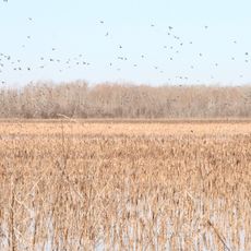
The area is well-suited for car exploration, with agricultural lands and river landscapes accessible from various roads throughout the parish. Visitors should keep in mind this is largely rural terrain, so plan accordingly for supplies and services.

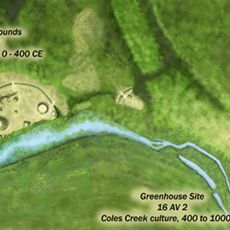
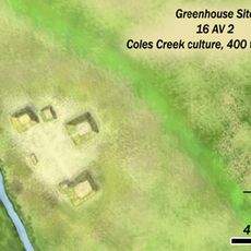
Three large burial mounds from the Mississippian culture remain preserved in Marksville, dating back approximately 300 BC. These prehistoric sites reveal ancient settlements by sophisticated peoples who inhabited this region long before recorded history.

Location: Louisiana

Inception: March 31, 1807

Capital city: Marksville

Shares border with: LaSalle Parish, Catahoula Parish, Concordia Parish, West Feliciana Parish, Pointe Coupee Parish, St. Landry Parish, Evangeline Parish, Rapides Parish

Website: http://avoypj.org

GPS coordinates: 31.07000,-92.00000

Latest update: December 13, 2025 17:05

Photos
Around this place
Old River Control Structure
United States of America

Old River Control Structure

33.3 km
Marksville Prehistoric Indian Site
United States of America

Marksville Prehistoric Indian Site

7.6 km
White Hall Plantation House
United States of America

White Hall Plantation House

23.3 km
Fort DeRussy
United States of America

Fort DeRussy

13.7 km
Richard K. Yancey Wildlife Management Area
United States of America

Richard K. Yancey Wildlife Management Area

30.7 km
Lake Ophelia National Wildlife Refuge
United States of America

Lake Ophelia National Wildlife Refuge

20.9 km
Dewey W. Wills Wildlife Management Area
United States of America

Dewey W. Wills Wildlife Management Area

38 km
Grand Cote National Wildlife Refuge
United States of America

Grand Cote National Wildlife Refuge

13.8 km
Avoyelles High School
United States of America

Avoyelles High School

4.6 km
Clarendon Plantation House
United States of America

Clarendon Plantation House

18.1 km
St. Paul Lutheran Church
United States of America

St. Paul Lutheran Church

5 km
Grassy Lake Wildlife Management Area
United States of America

Grassy Lake Wildlife Management Area

23.7 km
Oak Hall
United States of America

Oak Hall

28.3 km
Trinity Episcopal Church
United States of America

Trinity Episcopal Church

28.1 km
Bayou Rouge Baptist Church
United States of America

Bayou Rouge Baptist Church

16.1 km
Greenhouse Site
United States of America

Greenhouse Site

8.2 km
Thomas A. Lemoine House
United States of America

Thomas A. Lemoine House

3.7 km
Frithland
United States of America

Frithland

23.4 km
St. Mary's Assumption Church
United States of America

St. Mary's Assumption Church

10.7 km
Pomme de Terre Wildlife Management Area
United States of America

Pomme de Terre Wildlife Management Area

14.9 km
Sarto Bridge
United States of America

Sarto Bridge

19.8 km
Hypolite Bordelon House
United States of America

Hypolite Bordelon House

8.9 km
Walnut Grove
United States of America

Walnut Grove

25.5 km
Marksville Commercial Historic District
United States of America

Marksville Commercial Historic District

9 km
Thomas A. Lemoine House
United States of America

Thomas A. Lemoine House

7.5 km
Bordelonville Floodgate
United States of America

Bordelonville Floodgate

13.4 km
Oakwold Plantation
United States of America

Oakwold Plantation

17.5 km
Grimes Bluff
United States of America

Grimes Bluff

23.1 km
Show the full map
Reviews

Visited this place? Tap the stars to rate it and share your experience / photos with the community! Try now! You can cancel it anytime.

Administrative divisions
« Avoyelles Parish - Parish administrative division in Louisiana, United States » is provided by Around Us (aroundus.com). Images and texts are derived from Wikimedia project under a Creative Commons license. You are allowed to copy, distribute, and modify copies of this page, under the conditions set by the license, as long as this note is clearly visible.

Discover hidden gems everywhere you go!

From secret cafés to breathtaking viewpoints, skip the crowded tourist spots and find places that match your style. Our app makes it easy with voice search, smart filtering, route optimization, and insider tips from travelers worldwide. Download now for the complete mobile experience.

Around Us App Screenshot

A unique approach to discovering new places

Le Figaro

All the places worth exploring

France Info

A tailor-made excursion in just a few clicks

20 Minutes