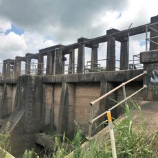
Old River Control Structure, Water control facility in central Louisiana, United States.
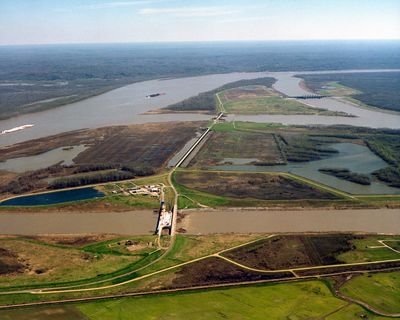
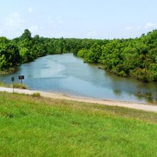
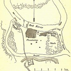
The Old River Control Structure is a concrete installation in central Louisiana where the Mississippi and Atchafalaya rivers meet. The complex consists of several locks and a spillway channel roughly 7 miles long that connects both river systems.
The installation was built between 1954 and 1963 after engineers realized the Mississippi wanted to shift its main course. The Corps of Engineers carried out the work to keep the river in its present bed and protect the coastal region from an uncontrolled shift.
This structure represents a turning point in water management practices, influencing the development of communities along both the Mississippi and Atchafalaya rivers.
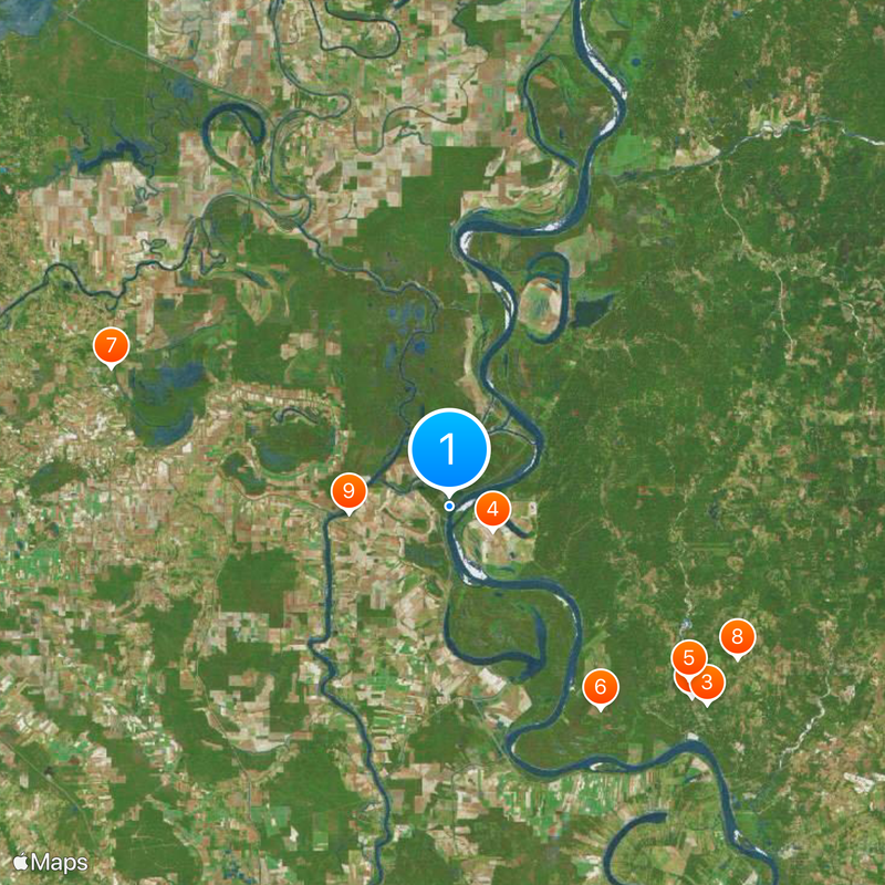
The site sits away from larger towns and is reached by secondary roads that run along the riverbank. Visitors should note that access is limited since this is an active facility monitored around the clock.
Without this installation the Mississippi would shift its course entirely within decades and leave large parts of Louisiana dry. The facility forces the river to flow against its natural tendency and prevents one of the largest geographic changes in North American history.
The community of curious travelers
AroundUs brings together thousands of curated places, local tips, and hidden gems, enriched daily by 60,000 contributors worldwide.