Atchafalaya National Heritage Area, National Heritage Area in south-central Louisiana, US
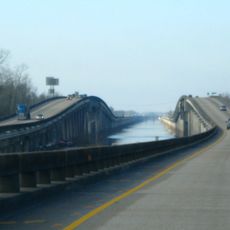
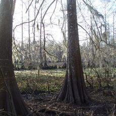
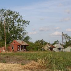
The Atchafalaya National Heritage Area is a federally designated region in south-central Louisiana covering swamps, bayous, sugarcane fields, and old cypress forests across fourteen parishes. A wide network of water channels and river branches runs through the land, connecting forests, farmland, and wetlands.
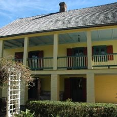
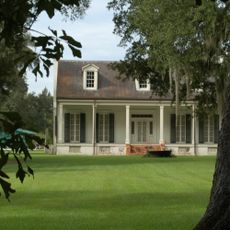
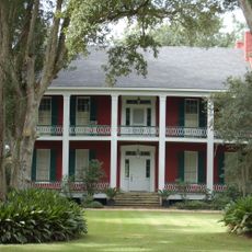
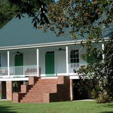
The US Congress designated this area as a National Heritage Area in 2006 to protect the natural landscape and the traditions of its communities. Those communities include Indigenous peoples, Cajun settlers, and Creole populations who have shaped the region over centuries.
The name comes from the Choctaw language and means 'long river', showing the deep ties between Indigenous peoples and Louisiana's waterways. In the bayous, traditional practices like fishing, hunting, and wooden boat building are still part of everyday life today.
The area has several access points that lead to hiking trails, boat launches, and spots for watching wildlife. Visiting outside the hottest months makes the experience more comfortable, as insects are far less active in cooler weather.
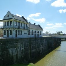
The Atchafalaya basin holds the largest river swamp system in North America, kept in balance through a network of levees and control structures. Without that engineering, the Mississippi River would have shifted its main course decades ago, draining into the Atchafalaya instead.
The community of curious travelers
AroundUs brings together thousands of curated places, local tips, and hidden gems, enriched daily by 60,000 contributors worldwide.