Natchez Bluffs and Under-the-Hill Historic District, Historic district in Natchez, United States
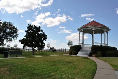
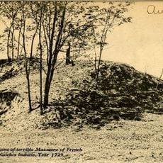
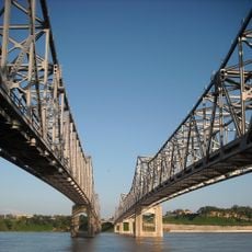
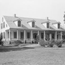
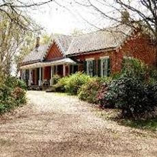
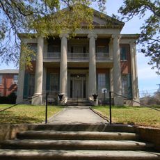
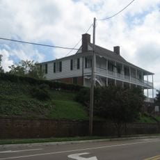
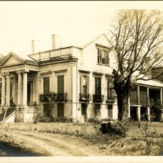
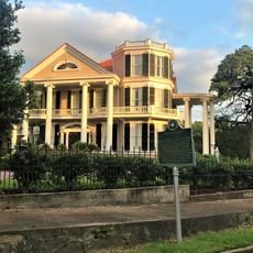
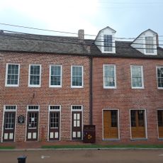
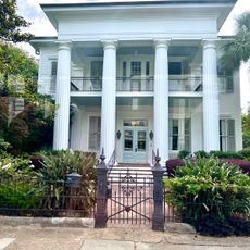
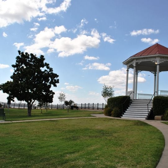
The Natchez Bluffs and Under-the-Hill Historic District is a 75-acre (30 ha) historic district listed on the National Register of Historic Places in 1972, roughly bounded by S. Canal St., Broadway and the Mississippi River. It takes in the Natchez landing site below the bluff and, above it, a city park area containing the site of the second French Fort Rosalie, built in 1730–34. In 1971 the district included six dilapidated brick buildings on Silver Street.
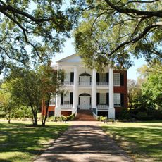
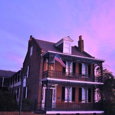
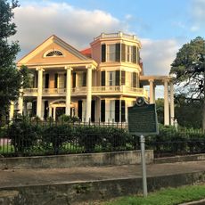
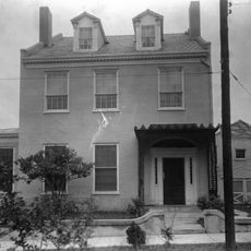
The district developed as a trading and residential center during French colonial times and got its name under British rule in West Florida. Most buildings date from the 1800s after the United States took over the region.
The name "Under-the-Hill" may date to British West Florida, since it does not follow American place-name patterns. By 1798 the lower district had a racetrack and drew arrivals from Africa, the United States, France, Spain, Ireland and the Netherlands. Early Jewish immigrants from Alsace–Lorraine and Bavaria, arriving around the 1840s and 1850s, worked as dry-goods and clothing merchants here.
Getting to the lower district is easiest by stairs and paths from the upper town, and several viewpoints overlook the river. Restaurants and shops are spread out around the area, so take your time exploring, and be aware that riverbank paths may close when water levels rise.
The name "Under-the-Hill" may date to British West Florida, since its form is unlike American place-name patterns such as Stratford-Upon-Avon. In 1810 a visitor called the landing, for its size, perhaps the most dissipated spot in the world. A tavern there was named The Kentuckian.
The community of curious travelers
AroundUs brings together thousands of curated places, local tips, and hidden gems, enriched daily by 93,763 contributors worldwide.