Gillham, town in Arkansas, United States of America
Location: Sevier County
Elevation above the sea: 231 m
GPS coordinates: 34.17000,-94.31556
Latest update: March 24, 2025 08:37
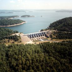
Broken Bow Lake
34.4 km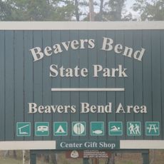
Beavers Bend Resort Park
34.8 km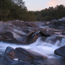
Cossatot River State Park-Natural Area
19.5 km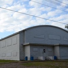
Nashville High School
46.2 km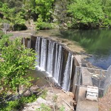
Shady Lake Recreation Area
33.8 km
Ebenezer Campground
34.6 km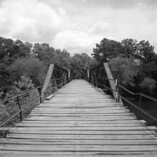
Mountain Fork Bridge
40.6 km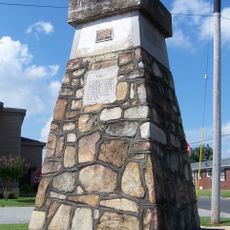
Ebenezer Monument
46.6 km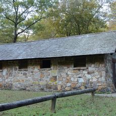
Bard Springs Bathhouse
37.3 km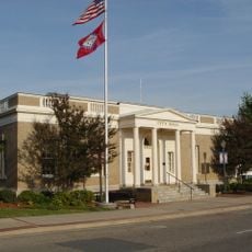
Mena City Hall
46.7 km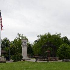
Janssen Park
46.5 km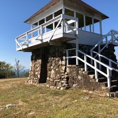
Tall Peak Fire Tower
34.8 km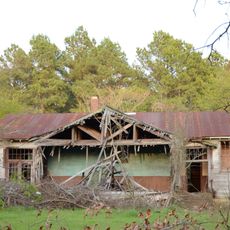
Oak Grove Rosenwald School
35.8 km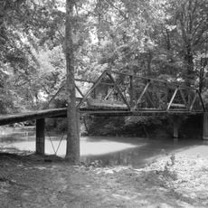
Little Cossatot River Bridge
24 km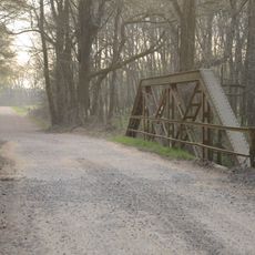
Hale Creek Bridge
15.6 km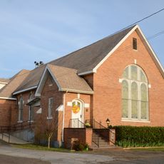
First United Methodist Church
26.4 km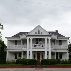
Judge Benjamin Shaver House
46.5 km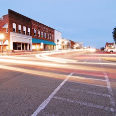
DeQueen Commercial Historic District
15 km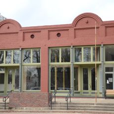
Hayes Hardware Store
14.9 km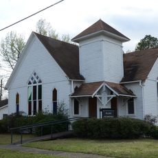
First Presbyterian Church
14.7 km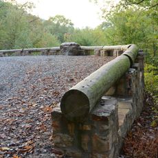
Buckeye Vista Overlook
37.5 km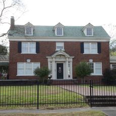
Bishop Brookes House
14.7 km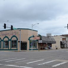
Mena Commercial Historic District
46.6 km
Sugar Creek Vista Overlook
37.4 km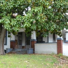
Otis Theodore and Effiegene Locke Wingo House
14.8 km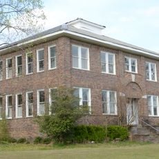
King Schoolhouse
2.9 km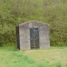
Gillham City Jail
200 m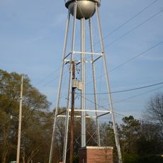
Lockesburg Waterworks
26.3 kmVisited this place? Tap the stars to rate it and share your experience / photos with the community! Try now! You can cancel it anytime.
Discover hidden gems everywhere you go!
From secret cafés to breathtaking viewpoints, skip the crowded tourist spots and find places that match your style. Our app makes it easy with voice search, smart filtering, route optimization, and insider tips from travelers worldwide. Download now for the complete mobile experience.

A unique approach to discovering new places❞
— Le Figaro
All the places worth exploring❞
— France Info
A tailor-made excursion in just a few clicks❞
— 20 Minutes