Enable Location

We need your location to show you interesting places around you

Discover nearby places

Find interesting locations and hidden gems around you

Precise directions

Get accurate directions and distances to places

Your location is never shared with other users. It's only used when you tap the location button.

Desha County

Log in to your account

Start exploring — it's free

Trusted by 62,796 travelers worldwide

Continue with Google
Continue with Apple
or

We will send you a code to connect

By continuing, you accept our Terms and Conditions and our Privacy Policy

Check your inbox

We've sent a pincode in your inbox. Please enter the code below.

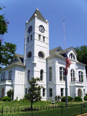
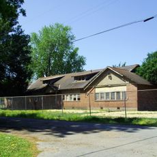
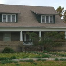
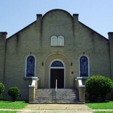
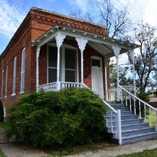
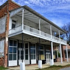
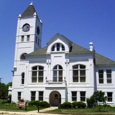
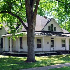
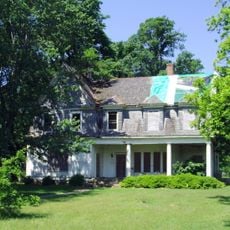
Desha County, Administrative division in southeastern Arkansas, United States.

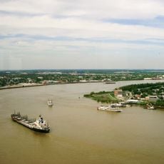
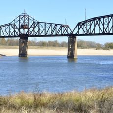
Desha County is an administrative division in southeastern Arkansas where three major rivers meet and shape the landscape. The White, Arkansas, and Mississippi Rivers converge near this region, creating its geographic boundaries.

The county was established in 1838 by the Arkansas Legislature in honor of Captain Benjamin Desha, a veteran of the War of 1812. This naming reflects the region's connection to military figures from the nation's early years.

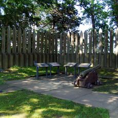
The Rohwer War Relocation Center Cemetery serves as a memorial where visitors can encounter the history of Japanese Americans during World War II. Walking through this site, people recognize an important and difficult chapter in the nation's past.

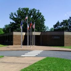
Visitors can access county administrative services and information at local offices throughout the region. The best way to learn about local sites and activities is to stop at these centers during business hours.

The region is home to the longest levee structure in the entire country, running along the Mississippi River boundary. This remarkable flood control system is a visible reminder of how the area manages water and protects its communities.

The community of curious travelers

AroundUs brings together thousands of curated places, local tips, and hidden gems, enriched daily by 60,000 contributors worldwide.

Start exploring
GPS coordinates
33.77402,-91.31105
Latest update
December 7, 2025 19:32
Around this place
Mississippi Alluvial Plain
United States of America

Mississippi Alluvial Plain

38.2 km
Arkansas Post
United States of America

Arkansas Post

27.2 km
Menard-Hodges Site
United States of America

Menard-Hodges Site

26.1 km
Yancopin Bridge
United States of America

Yancopin Bridge

22.4 km
Hollywood
United States of America

Hollywood

32.1 km
Great River Road State Park
United States of America

Great River Road State Park

26.1 km
Thane House
United States of America

Thane House

21.2 km
Chicot County Training School
United States of America

Chicot County Training School

29.1 km
A.M. Bohnert Rice Plantation Pump
United States of America

A.M. Bohnert Rice Plantation Pump

30.5 km
Grace Episcopal Church
United States of America

Grace Episcopal Church

27.8 km
M.E. Davis House
United States of America

M.E. Davis House

29.7 km
Hubert & Ionia Furr House
United States of America

Hubert & Ionia Furr House

21.2 km
Temple Meir Chayim
United States of America

Temple Meir Chayim

18.2 km
Xenophon Overton Pindall Law Office
United States of America

Xenophon Overton Pindall Law Office

21.2 km
Arkansas City Commercial District
United States of America

Arkansas City Commercial District

21.3 km
Desha County Courthouse
United States of America

Desha County Courthouse

20.9 km
Dermott Bank & Trust Company Building
United States of America

Dermott Bank & Trust Company Building

29.6 km
Taylor Log House and Site
United States of America

Taylor Log House and Site

22.2 km
Frank Tillar Memorial Methodist Episcopal Church, South
United States of America

Frank Tillar Memorial Methodist Episcopal Church, South

15 km
Dr. J.D. Watts House
United States of America

Dr. J.D. Watts House

21.2 km
Crenshaw-Burleigh House
United States of America

Crenshaw-Burleigh House

29.9 km
Kemp Cotton Gin Historic District
United States of America

Kemp Cotton Gin Historic District

3.4 km
Parnell-Sharpe House
United States of America

Parnell-Sharpe House

17.9 km
Jay Lewis House
United States of America

Jay Lewis House

17.8 km
McKennon-Shea House
United States of America

McKennon-Shea House

21.1 km
Dickinson-Moore House
United States of America

Dickinson-Moore House

21 km
Dermott Commercial Historic District
United States of America

Dermott Commercial Historic District

29.7 km
Arkansas Post National Memorial Visitor Center and Museum
United States of America

Arkansas Post National Memorial Visitor Center and Museum

27.2 km
Show the full map
« Desha County - Administrative division in southeastern Arkansas, United States » is provided by Around Us (aroundus.com). Images and texts are derived from Wikimedia project under a Creative Commons license. You are allowed to copy, distribute, and modify copies of this page, under the conditions set by the license, as long as this note is clearly visible.

Discover hidden gems everywhere you go!

From secret cafés to breathtaking viewpoints, skip the crowded tourist spots and find places that match your style. Our app makes it easy with voice search, smart filtering, route optimization, and insider tips from travelers worldwide. Download now for the complete mobile experience.

Around Us App Screenshot

A unique approach to discovering new places

Le Figaro

All the places worth exploring

France Info

A tailor-made excursion in just a few clicks

20 Minutes

Around Us
Travel Guide & Maps
Download

Send to your phone

QR Code
1

Open the camera app on your mobile.

2

Point at the QR code with your camera. A notification will appear.

3

Tap the notification to open the link.