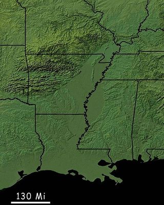
Mississippi Alluvial Plain, Alluvial plain in southern Louisiana to southern Illinois, United States.
The Mississippi Alluvial Plain is a flat region spread across seven states and shaped by the Mississippi River. The landscape consists of gentle rolling terrain formed entirely by river deposits that create rich, nutrient-dense soils.
The region formed over millennia through river deposits that built up thick layers of fertile soil. A major earthquake sequence from 1811 to 1812 changed river courses and permanently reshaped the land beneath it.
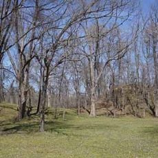
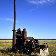
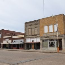
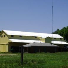
The region has deep roots in farming that shapes life for people living here. The fertile soils support crops that feed communities across the nation and define the rural character of the landscape.
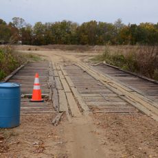
The best time to visit is during bird migration seasons in fall and spring when thousands of birds pass through the region. Wildlife refuges offer good viewing spots, though many are reached only by unpaved roads and require patience for sightings.
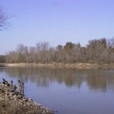
The region harbors one of North America's largest continuous wetland systems with distinct ecological communities. These wetlands home specialized animal and plant species found in such diversity nowhere else on the continent.
The community of curious travelers
AroundUs brings together thousands of curated places, local tips, and hidden gems, enriched daily by 60,000 contributors worldwide.