Dale Bumpers White River National Wildlife Refuge, Wildlife refuge in Arkansas, United States
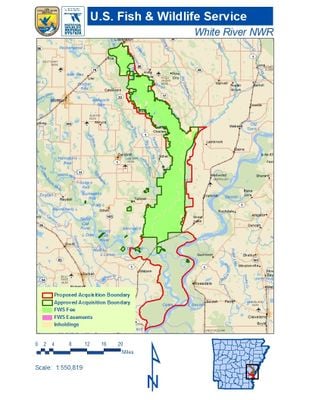
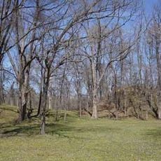
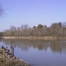
Dale Bumpers White River National Wildlife Refuge is a federally protected area in eastern Arkansas, stretching along the White River through four counties. It consists mainly of bottomland hardwood forests, wetlands, oxbow lakes, and floodplain areas that shift with the river's seasonal cycles.
The refuge was established in 1935 under President Franklin D. Roosevelt as part of a national effort to protect migratory birds along the Mississippi Flyway. It was renamed in 2000 to honor Dale Bumpers, an Arkansas senator who championed conservation causes during his time in office.
Hunting and fishing have long been part of life in this part of Arkansas, and the refuge is where many local families spend time each season. Waterfowl hunting in particular draws people from across the region, continuing a tradition passed down through generations.
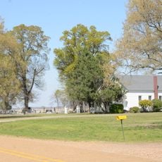
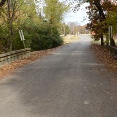
The refuge is open year-round, though winter is the best time to see large numbers of migratory birds. Many trails and roads can flood during high water, so checking conditions before visiting and wearing waterproof footwear is a good idea.
This refuge holds the largest gathering of wintering mallard ducks anywhere along the Mississippi Flyway, one of North America's main bird migration corridors. The flooded bottomland forests create ideal feeding grounds that draw the birds back to the same area every year.
The community of curious travelers
AroundUs brings together thousands of curated places, local tips, and hidden gems, enriched daily by 60,000 contributors worldwide.