Mobile

Log in to your account

AroundUs is a community-driven map of interesting places, built by curious explorers like you. It grows with every review, story, and photo you share.
Connect to save your favorite spots, contribute locations, and create personalized routes.
Continue with Google
Continue with Apple
Continue with X
Continue with Facebook
Continue with email
By continuing, you accept our Terms and Conditions and our Privacy Policy
Create an account
Add to collection
Map
Suggest a change
Share

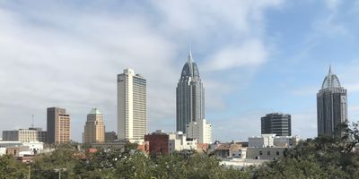
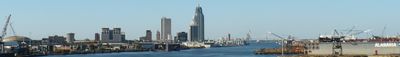
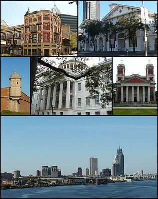
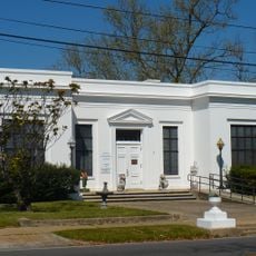
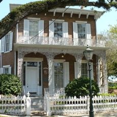
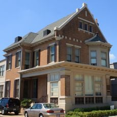
Mobile, Port city in Alabama, United States

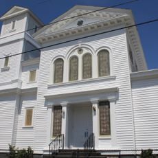
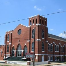
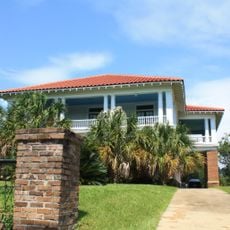
Mobile is a port city in southern Alabama that sits where the Mobile River flows into Mobile Bay. The city sprawls over flat coastal plains laced with waterways, parks, and wetland zones along the edge of the bay.

Founded in 1702 as the first capital of French Louisiana, the settlement changed hands among French, British, and Spanish rulers over a century before joining the United States in 1813. The port grew into a major hub for cotton and Caribbean trade throughout the following decades.

The city celebrates a weeks-long Carnival season before Lent each year, with parades where locals in costume ride decorated floats through downtown streets and toss beads and trinkets into the crowd. Waterfront seafood restaurants serve oysters, shrimp, and crab pulled straight from the bay, dishes that form a cornerstone of the regional table.

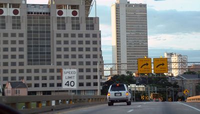
The city is easiest to explore by car, as neighborhoods spread far apart and public transport is limited. Summer heat and humidity can feel heavy, so early morning or late afternoon visits tend to be more comfortable.

The city held the first documented Carnival celebration on the North American mainland in 1703, decades before New Orleans adopted similar traditions. Today parade groups throw not only beads but also painted coconuts and colorful moon pies, a custom found nowhere else in quite the same way.

Location: Mobile County

Inception: 1702

Elevation above the sea: 3 m

Part of: Gulf Coast (Alabama)

Website: http://cityofmobile.org

GPS coordinates: 30.72767,-88.05267

Latest update: December 12, 2025 19:17

Photos
Around this place
Africatown
United States of America

Africatown

1 km
LeFlore Magnet High School
United States of America

LeFlore Magnet High School

3.5 km
Cochrane–Africatown USA Bridge
United States of America

Cochrane–Africatown USA Bridge

1.1 km
National African American Archives and Museum
United States of America

National African American Archives and Museum

3.6 km
The Catholic Cemetery of Mobile
United States of America

The Catholic Cemetery of Mobile

2.8 km
United States of America

De Tonti Square Historic District

3.6 km
Richards DAR House
United States of America

Richards DAR House

3.6 km
Campground Historic District
United States of America

Campground Historic District

3.7 km
RSA–BankTrust Building
United States of America

RSA–BankTrust Building

4 km
Regions Bank Building
United States of America

Regions Bank Building

4 km
The Battle House Hotel
United States of America

The Battle House Hotel

4 km
Saint Francis Xavier Roman Catholic Church
United States of America

Saint Francis Xavier Roman Catholic Church

3.4 km
Most Pure Heart of Mary Catholic Church
United States of America

Most Pure Heart of Mary Catholic Church

3.5 km
Aimwell Baptist Church
United States of America

Aimwell Baptist Church

3.1 km
Wachovia Building
United States of America

Wachovia Building

4 km
John Archibald Campbell United States Courthouse
United States of America

John Archibald Campbell United States Courthouse

3.9 km
Mount Olive Missionary Baptist Church
United States of America

Mount Olive Missionary Baptist Church

3.4 km
Dave Patton House
United States of America

Dave Patton House

3.3 km
Turner-Todd Motor Company
United States of America

Turner-Todd Motor Company

4 km
First National Bank
United States of America

First National Bank

4 km
Caldwell School
United States of America

Caldwell School

3.9 km
Coley Building
United States of America

Coley Building

4 km
Joseph Jossen House
United States of America

Joseph Jossen House

3.9 km
Emanuel Building
United States of America

Emanuel Building

3.9 km
International Longshoreman's Association Hall
United States of America

International Longshoreman's Association Hall

3.7 km
Automobile Alley Historic District
United States of America

Automobile Alley Historic District

3.9 km
Africatown
United States of America

Africatown

999 m
United States of America

Ace Theatre

3.7 km
Show the full map
Reviews

Visited this place? Tap the stars to rate it and share your experience / photos with the community! Try now! You can cancel it anytime.

« Mobile - Port city in Alabama, United States » is provided by Around Us (aroundus.com). Images and texts are derived from Wikimedia project under a Creative Commons license. You are allowed to copy, distribute, and modify copies of this page, under the conditions set by the license, as long as this note is clearly visible.

Discover hidden gems everywhere you go!

From secret cafés to breathtaking viewpoints, skip the crowded tourist spots and find places that match your style. Our app makes it easy with voice search, smart filtering, route optimization, and insider tips from travelers worldwide. Download now for the complete mobile experience.

Around Us App Screenshot

A unique approach to discovering new places

Le Figaro

All the places worth exploring

France Info

A tailor-made excursion in just a few clicks

20 Minutes