Enable Location

We need your location to show you interesting places around you

Discover nearby places

Find interesting locations and hidden gems around you

Precise directions

Get accurate directions and distances to places

Your location is never shared with other users. It's only used when you tap the location button.

Okaloosa County

Log in to your account

Start exploring — it's free

Trusted by 63,117 travelers worldwide

Continue with Google
Continue with Apple
or

We will send you a code to connect

By continuing, you accept our Terms and Conditions and our Privacy Policy

Check your inbox

We've sent a pincode in your inbox. Please enter the code below.

Discussion Reviews 1 Photos
65.2k Popularity

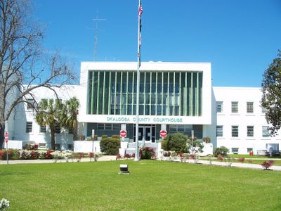
Okaloosa County, Administrative county in Northwest Florida, United States

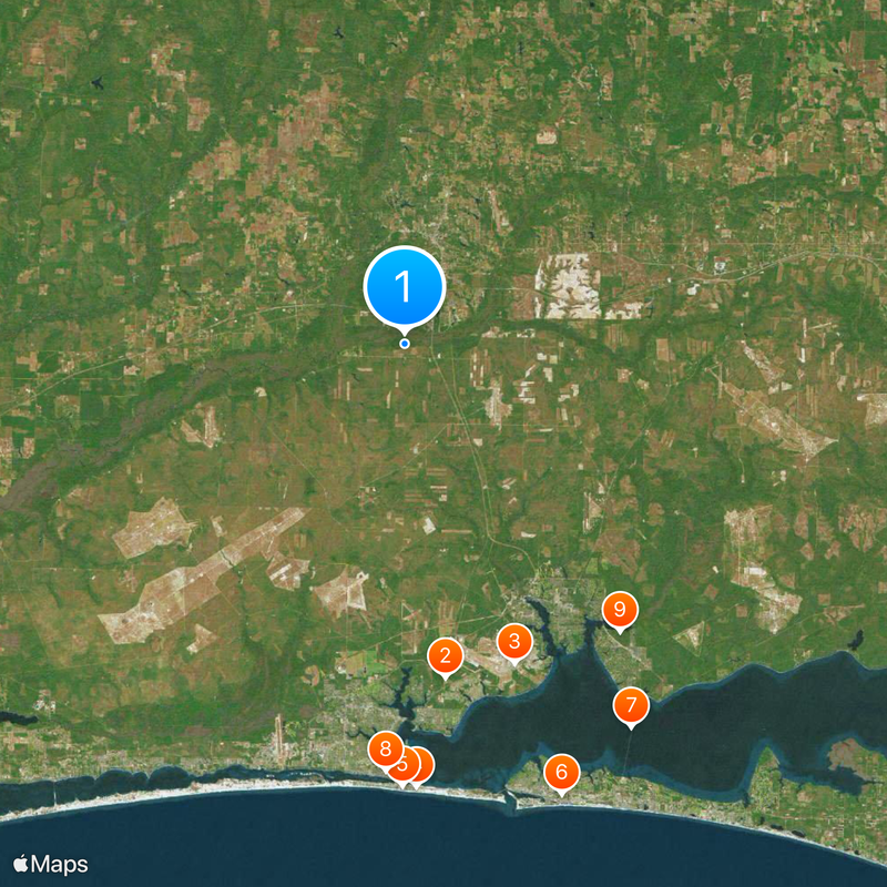
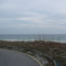
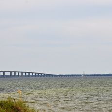
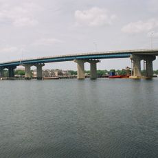
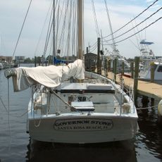
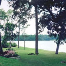
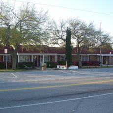
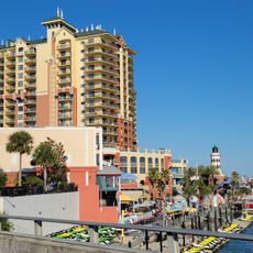
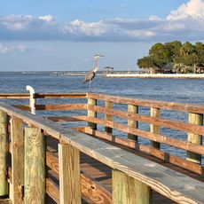
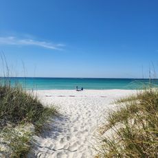
Okaloosa County sits in the northwest corner of Florida, running from the Gulf of Mexico northward toward Alabama and covering coastal towns, forested areas, and a section of Choctawhatchee National Forest. The area includes several smaller communities along Route 98, stretching from beaches near Fort Walton Beach to rolling terrain further inland.

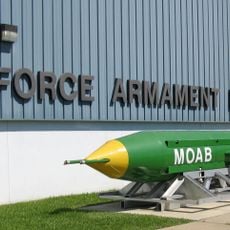
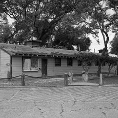
The county formed in 1917 when portions of two neighboring counties were separated to create a new administrative region, taking a name from the Choctaw language. Military installations shaped the area's growth starting in the 1930s, when the first air bases were established.

The region maintains strong military connections through Eglin Air Force Base, Duke Field, and Hurlburt Field, which influence local traditions and community life.

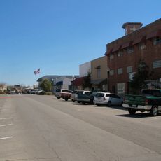
The area is accessed via Route 98 running parallel to the coast, while smaller roads lead further inland. Coastal towns become crowded in summer, while northern sections remain quieter and are used more by locals.

The county contains three military air bases and borders four different counties while incorporating sections of Choctawhatchee National Forest and Gulf Islands National Seashore.

The community of curious travelers

AroundUs brings together thousands of curated places, local tips, and hidden gems, enriched daily by 60,000 contributors worldwide.

Start exploring
Location
Inception
June 13, 1917
Capital city
Crestview
Reference
12-091
Shares border with
Covington County, Walton County, Escambia County, Santa Rosa County
GPS coordinates
30.68750,-86.59250
Latest update
December 13, 2025 18:27
Around this place
Air Force Armament Museum
United States of America

Air Force Armament Museum

24.8 km
McKinley Climatic Laboratory
United States of America

McKinley Climatic Laboratory

24.9 km
Henderson Beach State Park
United States of America

Henderson Beach State Park

32.7 km
Gulfarium Marine Adventure Park
United States of America

Gulfarium Marine Adventure Park

32.6 km
Big Kahuna's
United States of America

Big Kahuna's

35.2 km
Mid-Bay Bridge
United States of America

Mid-Bay Bridge

32.9 km
Fort Walton Mound
United States of America

Fort Walton Mound

31.5 km
Fred Gannon Rocky Bayou State Park
United States of America

Fred Gannon Rocky Bayou State Park

26.5 km
Brooks Bridge
United States of America

Brooks Bridge

31.9 km
Governor Stone
United States of America

Governor Stone

31.6 km
Wild Willy's Adventure Zone
United States of America

Wild Willy's Adventure Zone

32.4 km
Baker Block Museum
United States of America

Baker Block Museum

14.9 km
Camp Pinchot Historic District
United States of America

Camp Pinchot Historic District

24.2 km
Destin History & Fishing Museum
United States of America

Destin History & Fishing Museum

33.4 km
Destin Beach
United States of America

Destin Beach

39.1 km
Gulfview Hotel Historic District
United States of America

Gulfview Hotel Historic District

31.7 km
United States of America

WCNU

3.2 km
Crestview Commercial Historic District
United States of America

Crestview Commercial Historic District

8.2 km
Eglin Field Historic District
United States of America

Eglin Field Historic District

24.8 km
Heritage Museum of Northwest Florida
United States of America

Heritage Museum of Northwest Florida

22.6 km
Destin Army Recreation Area
United States of America

Destin Army Recreation Area

32 km
Princess Beach
United States of America

Princess Beach

33.5 km
Emerald Coast Science Center
United States of America

Emerald Coast Science Center

31.2 km
United States of America

Moreno Point

36.4 km
United States of America

Pear Tree observatory

22 km
United States of America

Wilkinson Bluff

7.8 km
United States of America

Tucker Bluff

20.2 km
United States of America

Metts Bluff

13.1 km
Show the full map
Reviews
Share your experience

No review yet

Discussions
Start a discussion...

No discussion yet

Administrative divisions
« Okaloosa County - Administrative county in Northwest Florida, United States » is provided by Around Us (aroundus.com). Images and texts are derived from Wikimedia project under a Creative Commons license. You are allowed to copy, distribute, and modify copies of this page, under the conditions set by the license, as long as this note is clearly visible.

Discover hidden gems everywhere you go!

From secret cafés to breathtaking viewpoints, skip the crowded tourist spots and find places that match your style. Our app makes it easy with voice search, smart filtering, route optimization, and insider tips from travelers worldwide. Download now for the complete mobile experience.

Around Us App Screenshot

A unique approach to discovering new places

Le Figaro

All the places worth exploring

France Info

A tailor-made excursion in just a few clicks

20 Minutes

Around Us
Travel Guide & Maps
Download

Send to your phone

QR Code
1

Open the camera app on your mobile.

2

Point at the QR code with your camera. A notification will appear.

3

Tap the notification to open the link.