Santa Rosa County

Log in to your account

AroundUs is a community-driven map of interesting places, built by curious explorers like you. It grows with every review, story, and photo you share.
Connect to save your favorite spots, contribute locations, and create personalized routes.
By continuing, you accept our Terms and Conditions and our Privacy Policy
Add to collection
Map
Suggest a change
Share

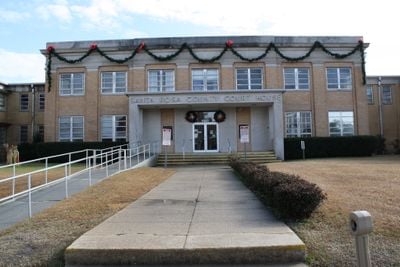
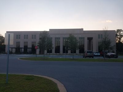
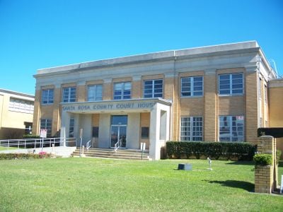
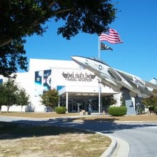
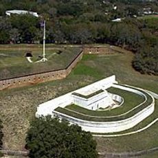
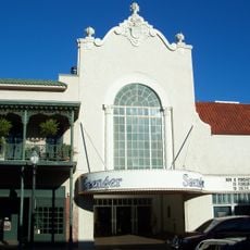
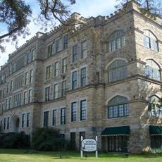
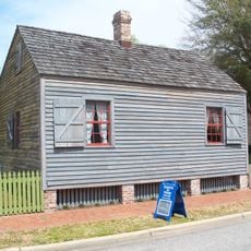
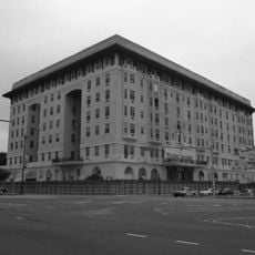
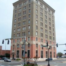
Santa Rosa County, Administrative county in northwestern Florida, United States.

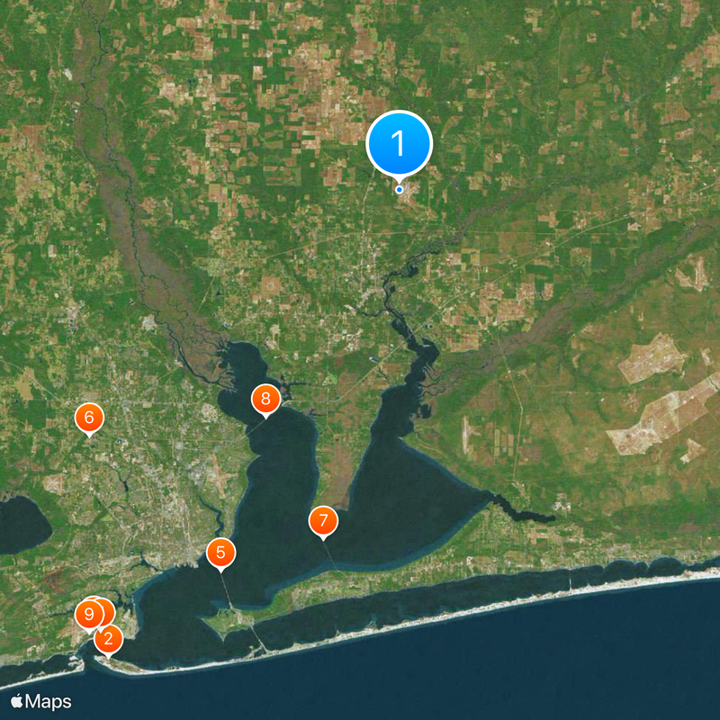
Santa Rosa County is an administrative county spanning the northwestern corner of Florida, with distinct areas ranging from coastal zones in the south to forested land in the north. These three regions—southern coast, central areas around Milton, and northern woodlands—create different landscapes and communities throughout the territory.

The county was created in 1842 through separation from Escambia County, with its name derived from a barrier island honoring Saint Rose of Viterbo. This administrative division marked a significant reorganization of northwestern Florida's boundaries.

The Santa Rosa County Library System maintains five branches serving different communities, offering educational resources to residents in Navarre, Gulf Breeze, Jay, Milton, and Pace.

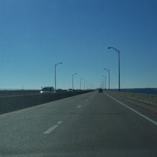
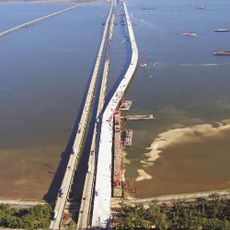
The territory is served by Interstate 10, U.S. Highways 90 and 98, plus several state roads that link different communities and areas. These major routes make it easy to travel between the coastal areas and inland regions.

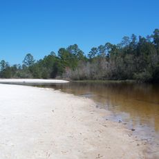
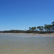
The area contains significant water bodies including Santa Rosa Sound, Pensacola Bay, and East Bay, which shape daily life in southern communities. These waterways are essential to the character and economy of coastal settlements.

Location: Florida

Inception: February 18, 1842

Capital city: Milton

Reference: 12-113

Shares border with: Escambia County, Okaloosa County

Website: http://santarosa.fl.gov

GPS coordinates: 30.70000,-87.02000

Latest update: December 14, 2025 19:34

Photos
Around this place
Fort Pickens
United States of America

Fort Pickens

49 km
National Naval Aviation Museum
United States of America

National Naval Aviation Museum

47.6 km
Fort Barrancas
United States of America

Fort Barrancas

47.4 km
Pensacola Bay Bridge
United States of America

Pensacola Bay Bridge

37.4 km
Five Flags Speedway
United States of America

Five Flags Speedway

35.2 km
Garcon Point Bridge
United States of America

Garcon Point Bridge

31.7 km
Escambia Bay Bridge
United States of America

Escambia Bay Bridge

23.4 km
Pensacola Light
United States of America

Pensacola Light

48.1 km
Blackwater River State Park
United States of America

Blackwater River State Park

13.6 km
Gulf Breeze Zoo
United States of America

Gulf Breeze Zoo

33.4 km
Barrancas National Cemetery
United States of America

Barrancas National Cemetery

46.1 km
Naval Live Oaks Reservation
United States of America

Naval Live Oaks Reservation

38.9 km
Saenger Theatre
United States of America

Saenger Theatre

37.3 km
Pensacola Hospital
United States of America

Pensacola Hospital

35.2 km
Blackwater River State Forest
United States of America

Blackwater River State Forest

23.4 km
Santa Rosa Island Range Complex
United States of America

Santa Rosa Island Range Complex

40.2 km
Pensacola Historic District
United States of America

Pensacola Historic District

37 km
Fast Eddies Fun Center
United States of America

Fast Eddies Fun Center

34.4 km
San Carlos Hotel
United States of America

San Carlos Hotel

37 km
Plaza Ferdinand VII
United States of America

Plaza Ferdinand VII

37.5 km
Fort George
United States of America

Fort George

36.6 km
American National Bank Building
United States of America

American National Bank Building

37.4 km
Pensacola Museum of History
United States of America

Pensacola Museum of History

37.3 km
Emanuel Point Shipwreck Site
United States of America

Emanuel Point Shipwreck Site

44.9 km
Temple Beth-El
United States of America

Temple Beth-El

36.3 km
Blount Building
United States of America

Blount Building

37.1 km
Old Christ Church
United States of America

Old Christ Church

37.2 km
Yellow River Marsh
United States of America

Yellow River Marsh

24.6 km
Show the full map
Reviews

Visited this place? Tap the stars to rate it and share your experience / photos with the community! Try now! You can cancel it anytime.

Administrative divisions
« Santa Rosa County - Administrative county in northwestern Florida, United States » is provided by Around Us (aroundus.com). Images and texts are derived from Wikimedia project under a Creative Commons license. You are allowed to copy, distribute, and modify copies of this page, under the conditions set by the license, as long as this note is clearly visible.

Discover hidden gems everywhere you go!

From secret cafés to breathtaking viewpoints, skip the crowded tourist spots and find places that match your style. Our app makes it easy with voice search, smart filtering, route optimization, and insider tips from travelers worldwide. Download now for the complete mobile experience.

Around Us App Screenshot

A unique approach to discovering new places

Le Figaro

All the places worth exploring

France Info

A tailor-made excursion in just a few clicks

20 Minutes