Clarke County

Log in to your account

AroundUs is a community-driven map of interesting places, built by curious explorers like you. It grows with every review, story, and photo you share.
Connect to save your favorite spots, contribute locations, and create personalized routes.
Continue with Google
Continue with Apple
Continue with X
Continue with Facebook
Continue with email
By continuing, you accept our Terms and Conditions and our Privacy Policy
Create an account
Add to collection
Map
Suggest a change
Share

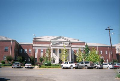
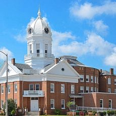
Clarke County, Administrative division in Alabama, United States

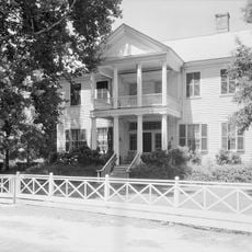
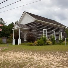
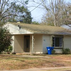
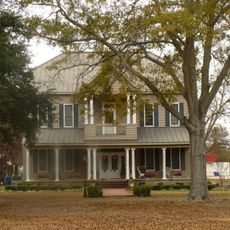
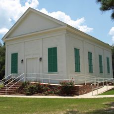
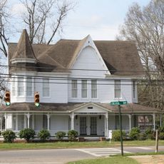
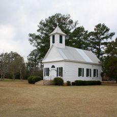
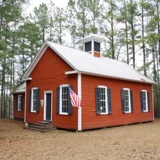
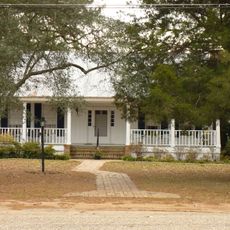
Clarke County is a county in southeastern Alabama that encompasses several communities and towns within its boundaries. The area includes both urban centers and rural regions with distinct characteristics.

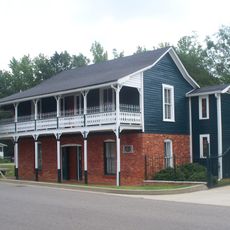
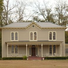
Clarke County was established in the early 19th century as part of Alabama's administrative framework. Its development reflected the economic and social changes that shaped the broader region over time.

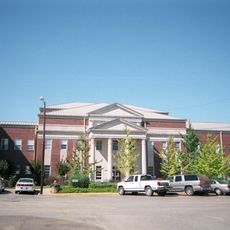
The County Manager's Office coordinates multiple departments to deliver community programs and services that support the diverse population of Clarke County.

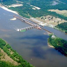
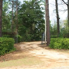
Visitors can explore the various communities throughout the county using local roads and can find administrative services in county centers. It helps to plan ahead which areas you want to visit since the territory is geographically spread out.

The Department of Administrative Services maintains comprehensive data analysis and research programs to guide policy development and legislative advocacy.

Location: Alabama

Inception: December 10, 1812

Capital city: Grove Hill

Elevation above the sea: 86 m

Shares border with: Choctaw County, Marengo County, Wilcox County, Monroe County, Baldwin County, Washington County

Website: http://clarkecountyal.com

GPS coordinates: 31.67361,-87.83806

Latest update: December 7, 2025 10:07

Photos
Around this place
Bladon Springs State Park
United States of America

Bladon Springs State Park

34.3 km
Fort Sinquefield
United States of America

Fort Sinquefield

12.6 km
Old Monroe County Courthouse
United States of America

Old Monroe County Courthouse

51.4 km
Dellet Plantation
United States of America

Dellet Plantation

34.8 km
Coffeeville Lock and Dam
United States of America

Coffeeville Lock and Dam

29.1 km
Andrews Chapel
United States of America

Andrews Chapel

49.1 km
J. P. McKee Lustron House
United States of America

J. P. McKee Lustron House

18.3 km
Bush House
United States of America

Bush House

7.6 km
Montgomery Hill Baptist Church
United States of America

Montgomery Hill Baptist Church

57.1 km
Airmount Grave Shelter
United States of America

Airmount Grave Shelter

36.5 km
Jackson Historic District
United States of America

Jackson Historic District

18.8 km
Isaac Nettles Gravestones
United States of America

Isaac Nettles Gravestones

36.5 km
Cobb House
United States of America

Cobb House

5.1 km
Alston-Cobb House
United States of America

Alston-Cobb House

7 km
St. Stephens Courthouse
United States of America

St. Stephens Courthouse

25.4 km
Whatley Historic District
United States of America

Whatley Historic District

12.9 km
Stephen Beech Cleveland House
United States of America

Stephen Beech Cleveland House

15.9 km
Grove Hill Courthouse Square Historic District
United States of America

Grove Hill Courthouse Square Historic District

7 km
Thomasville Historic District
United States of America

Thomasville Historic District

28.3 km
Dickinson House
United States of America

Dickinson House

7.4 km
Gainestown Methodist Church and Cemetery
United States of America

Gainestown Methodist Church and Cemetery

29.2 km
Gainestown Schoolhouse
United States of America

Gainestown Schoolhouse

28.2 km
Doit W. McClellan Lustron House
United States of America

Doit W. McClellan Lustron House

18.3 km
Jesse Pickens Pugh Farmstead
United States of America

Jesse Pickens Pugh Farmstead

3.1 km
John A. Coate House
United States of America

John A. Coate House

6.9 km
Old Courthouse Museum
United States of America

Old Courthouse Museum

51.4 km
Jim Folsom Bridge
United States of America

Jim Folsom Bridge

26.6 km
Tombigbee River Bridge
United States of America

Tombigbee River Bridge

21 km
Show the full map
Reviews

Visited this place? Tap the stars to rate it and share your experience / photos with the community! Try now! You can cancel it anytime.

« Clarke County - Administrative division in Alabama, United States » is provided by Around Us (aroundus.com). Images and texts are derived from Wikimedia project under a Creative Commons license. You are allowed to copy, distribute, and modify copies of this page, under the conditions set by the license, as long as this note is clearly visible.

Discover hidden gems everywhere you go!

From secret cafés to breathtaking viewpoints, skip the crowded tourist spots and find places that match your style. Our app makes it easy with voice search, smart filtering, route optimization, and insider tips from travelers worldwide. Download now for the complete mobile experience.

Around Us App Screenshot

A unique approach to discovering new places

Le Figaro

All the places worth exploring

France Info

A tailor-made excursion in just a few clicks

20 Minutes