
Lowndes County, Administrative division in Georgia, United States
The Lowndes County complex at 327 North Ashley Street in Valdosta houses multiple governmental departments and administrative facilities serving local residents.
The establishment of Lowndes County's administrative structure has evolved from its early foundations to include modern departments covering emergency management and public services.
The county administrative systems reflect community values through programs such as Operation Green Light, which provides support services for local veterans.
Residents can access various services at the administrative complex, including permit applications, property tax payments, and employment opportunities through designated offices.
The Lowndes County Animal Services received a specialized grant of 3,000 dollars to implement sterilization programs for dogs and cats in the region.
Location: Alabama
Inception: January 20, 1830
Capital city: Hayneville
Shares border with: Autauga County, Butler County, Montgomery County, Crenshaw County, Dallas County, Wilcox County
Website: https://lowndes-al.gov
GPS coordinates: 32.15000,-86.65000
Latest update: May 27, 2025 06:52
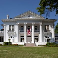
Alabama Governor's Mansion
40 km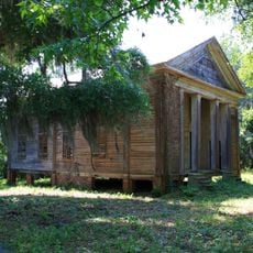
Adams Grove Presbyterian Church
38.3 km
Calhoun Colored School
14 km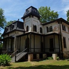
Winter Place
40 km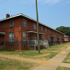
Cleveland Court Apartments 620–638
39.3 km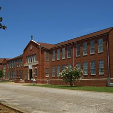
St. Jude Educational Institute
37.9 km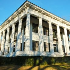
Meadowlawn Plantation
14.6 km
Stone Plantation
30.8 km
Bell House
39.3 km
Garden District
39.9 km
Daniel Pratt Historic District
38.5 km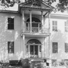
Riverdale (Selma, Alabama)
37.8 km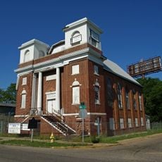
Mount Zion AME Zion Church
39.4 km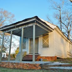
Lowndesboro Historic District
15.9 km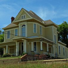
Cottage Hill Historic District
40 km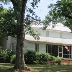
Lassiter House
38.7 km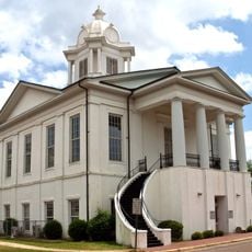
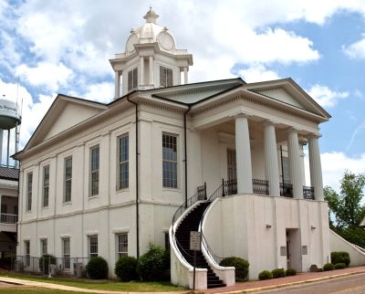
Lowndes County Courthouse
7.7 km
James Spullock Williamson House
23.3 km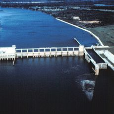
R.E. "Bob" Woodruff Lake
23.3 km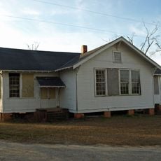
Tankersley Rosenwald School
27.6 km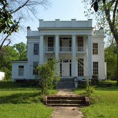
McBryde-Screws-Tyson House
39.9 km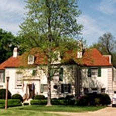
Maxwell Air Force Base Senior Officers' Quarters Historic District
38.9 km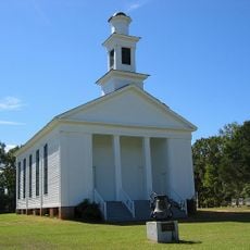
Pleasant Hill Presbyterian Church
24.4 km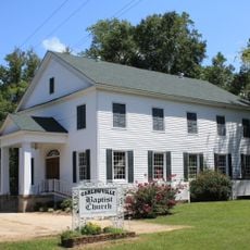
Carlowville Historic District
36.4 km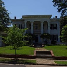
Dr. C.A. Thigpen House
39.8 km
Furman Historic District
34.1 km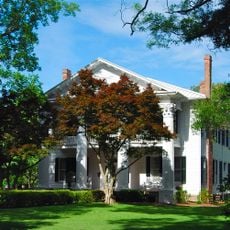
J. Bruce Hain House
35.3 km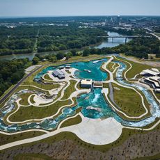
Montgomery Whitewater
39.5 kmReviews
Visited this place? Tap the stars to rate it and share your experience / photos with the community! Try now! You can cancel it anytime.
Discover hidden gems everywhere you go!
From secret cafés to breathtaking viewpoints, skip the crowded tourist spots and find places that match your style. Our app makes it easy with voice search, smart filtering, route optimization, and insider tips from travelers worldwide. Download now for the complete mobile experience.

A unique approach to discovering new places❞
— Le Figaro
All the places worth exploring❞
— France Info
A tailor-made excursion in just a few clicks❞
— 20 Minutes