Holmes County

Log in to your account

AroundUs is a community-driven map of interesting places, built by curious explorers like you. It grows with every review, story, and photo you share.
Connect to save your favorite spots, contribute locations, and create personalized routes.
By continuing, you accept our Terms and Conditions and our Privacy Policy
Add to collection
Map
Suggest a change
Share

Holmes County, Rural administrative region in Ohio, United States
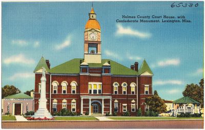
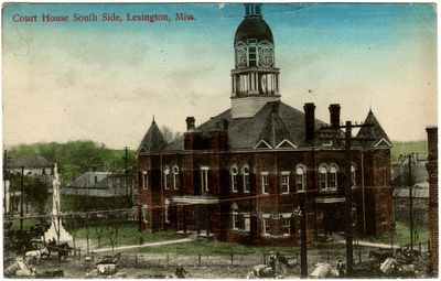
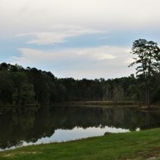
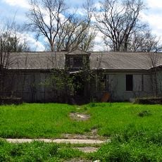
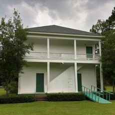
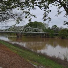
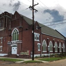
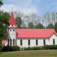
Holmes County spans across 424 square miles of rolling hills and farmland, featuring small towns surrounded by agricultural landscapes and traditional settlements.

The county was established in 1824, named after Andrew Holmes, a military officer who lost his life during the War of 1812.

Holmes County contains the largest concentration of Amish residents in the world, with 48 percent of the population identifying as Amish in 2020.

The county seat of Millersburg provides access to government services, including public records, court proceedings, and administrative offices for local residents.

Forecasts indicate Holmes County may become the first county in the United States with an Amish majority population by 2027.

Location: Mississippi

Inception: 1833

Capital city: Lexington

Shares border with: Carroll County, Attala County, Yazoo County, Humphreys County, Leflore County, Madison County

Website: http://holmescountyms.org

GPS coordinates: 33.12000,-90.09000

Latest update: May 27, 2025 08:55

Around this place
Show the full map
Ross Barnett Reservoir
United States of America

Ross Barnett Reservoir

74.1 km
B.B. King Museum and Delta Interpretive Center
United States of America

B.B. King Museum and Delta Interpretive Center

63.4 km
Mississippi Petrified Forest
United States of America

Mississippi Petrified Forest

70.2 km
Rice–Totten Field
United States of America

Rice–Totten Field

49.3 km
Holly Bluff Site
United States of America

Holly Bluff Site

65 km
Jaketown Site
United States of America

Jaketown Site

39.2 km
Chapel of the Cross
United States of America

Chapel of the Cross

67.3 km
Panther Swamp National Wildlife Refuge
United States of America

Panther Swamp National Wildlife Refuge

55.9 km
Boyd Mounds Site
United States of America

Boyd Mounds Site

74.2 km
Holmes County State Park
United States of America

Holmes County State Park

19.1 km
Tallahatchie National Wildlife Refuge
United States of America

Tallahatchie National Wildlife Refuge

76 km
Cotesworth
United States of America

Cotesworth

49.4 km
Old First Presbyterian Church
United States of America

Old First Presbyterian Church

47.4 km
Montgomery House
United States of America

Montgomery House

73.3 km
Woodburn Bridge
United States of America

Woodburn Bridge

64.6 km
Acona Church, Cemetery, and School
United States of America

Acona Church, Cemetery, and School

17.8 km
Ricks Memorial Library
United States of America

Ricks Memorial Library

42.6 km
Indianola Historic District
United States of America

Indianola Historic District

63.9 km
Immanuel Episcopal Church
United States of America

Immanuel Episcopal Church

52.2 km
First Methodist Church of Greenwood
United States of America

First Methodist Church of Greenwood

45.3 km
Charley's Trace
United States of America

Charley's Trace

70.3 km
Southworth House
United States of America

Southworth House

44.3 km
Wesley Memorial Methodist Episcopal
United States of America

Wesley Memorial Methodist Episcopal

44.6 km
Augustus J. Oakes House
United States of America

Augustus J. Oakes House

43.1 km
New Crescent Theatre
United States of America

New Crescent Theatre

38 km
Pocahontas Mound A
United States of America

Pocahontas Mound A

74.8 km
Keesler Bridge
United States of America

Keesler Bridge

45.6 km
Wesley Methodist Church Historic District
United States of America

Wesley Methodist Church Historic District

44.4 km
Show the full map

Reviews

Visited this place? Tap the stars to rate it and share your experience / photos with the community! Try now! You can cancel it anytime.

Administrative divisions
« Holmes County: Rural administrative region in Ohio, United States » is provided by Around Us (aroundus.com). Images and texts are derived from Wikimedia project under a Creative Commons license. You are allowed to copy, distribute, and modify copies of this page, under the conditions set by the license, as long as this note is clearly visible.

Discover hidden gems everywhere you go!

From secret cafés to breathtaking viewpoints, skip the crowded tourist spots and find places that match your style. Our app makes it easy with voice search, smart filtering, route optimization, and insider tips from travelers worldwide. Download now for the complete mobile experience.

Around Us App Screenshot

A unique approach to discovering new places

Le Figaro

All the places worth exploring

France Info

A tailor-made excursion in just a few clicks

20 Minutes