Enable Location

We need your location to show you interesting places around you

Discover nearby places

Find interesting locations and hidden gems around you

Precise directions

Get accurate directions and distances to places

Your location is never shared with other users. It's only used when you tap the location button.

Carroll County

Log in to your account

Start exploring — it's free

Trusted by 62,431 travelers worldwide

Continue with Google
Continue with Apple
or

We will send you a code to connect

By continuing, you accept our Terms and Conditions and our Privacy Policy

Check your inbox

We've sent a pincode in your inbox. Please enter the code below.

Carroll County, Administrative division in Mississippi, United States.

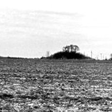
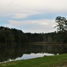
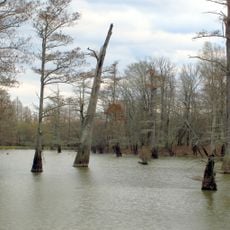
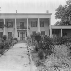
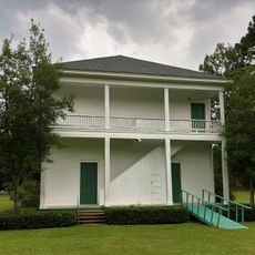
Carroll County is an administrative division in Mississippi spanning rolling hills, forests, and farmland between the Mississippi Delta and the North Central Hills. The landscape is dominated by rural communities and open countryside.

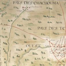
The county was created in 1833 following land cessions from the Choctaw Nation. This establishment marked a major territorial expansion during that period in Mississippi.

Local residents maintain strong agricultural traditions through annual farming events, community gatherings, and educational programs at county schools.

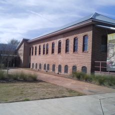
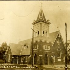
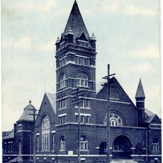
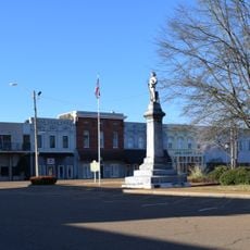
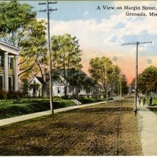
The county is organized around several urban centers, with Carrollton and Vaiden serving as administrative hubs. Visitors will find basic services and local facilities in these towns.

This county operates with two equal county seats rather than one, a rarity in Mississippi's administrative structure. This dual arrangement reflects a divided early development in how the area was organized.

The community of curious travelers

AroundUs brings together thousands of curated places, local tips, and hidden gems, enriched daily by 60,000 contributors worldwide.

Start exploring
GPS coordinates
33.42302,-89.91100
Latest update
December 7, 2025 19:32
Around this place
Dockery Plantation
United States of America

Dockery Plantation

73.5 km
B.B. King Museum and Delta Interpretive Center
United States of America

B.B. King Museum and Delta Interpretive Center

68.3 km
Grenada Lake
United States of America

Grenada Lake

45.9 km
Rice–Totten Field
United States of America

Rice–Totten Field

41.3 km
Jaketown Site
United States of America

Jaketown Site

57.4 km
Holmes County State Park
United States of America

Holmes County State Park

43.9 km
Tallahatchie National Wildlife Refuge
United States of America

Tallahatchie National Wildlife Refuge

45.9 km
Cotesworth
United States of America

Cotesworth

12.7 km
Tallahatchie County Second District Courthouse
United States of America

Tallahatchie County Second District Courthouse

74.3 km
Old First Presbyterian Church
United States of America

Old First Presbyterian Church

50.5 km
Acona Church, Cemetery, and School
United States of America

Acona Church, Cemetery, and School

20 km
Indianola Historic District
United States of America

Indianola Historic District

68.9 km
Immanuel Episcopal Church
United States of America

Immanuel Episcopal Church

17.7 km
Odd Fellows and Confederate Cemetery
United States of America

Odd Fellows and Confederate Cemetery

40.2 km
First Methodist Church of Greenwood
United States of America

First Methodist Church of Greenwood

27.6 km
Charley's Trace
United States of America

Charley's Trace

50.2 km
Grenada Masonic Temple
United States of America

Grenada Masonic Temple

41.3 km
Southworth House
United States of America

Southworth House

27.4 km
Wesley Memorial Methodist Episcopal
United States of America

Wesley Memorial Methodist Episcopal

27 km
Emmett Till Interpretive Center
United States of America

Emmett Till Interpretive Center

74.4 km
Emmett Till Historic Intrepid Center - ETHIC
United States of America

Emmett Till Historic Intrepid Center - ETHIC

57.3 km
New Crescent Theatre
United States of America

New Crescent Theatre

59.6 km
Evergreen Plantation
United States of America

Evergreen Plantation

46.4 km
Keesler Bridge
United States of America

Keesler Bridge

27.6 km
Grenada Railway Yalobusha River Bridge
United States of America

Grenada Railway Yalobusha River Bridge

42 km
Downtown Grenada Historic District
United States of America

Downtown Grenada Historic District

41.5 km
Margin Street Historic District
United States of America

Margin Street Historic District

41.2 km
Wesley Methodist Church Historic District
United States of America

Wesley Methodist Church Historic District

27 km
Show the full map
« Carroll County - Administrative division in Mississippi, United States » is provided by Around Us (aroundus.com). Images and texts are derived from Wikimedia project under a Creative Commons license. You are allowed to copy, distribute, and modify copies of this page, under the conditions set by the license, as long as this note is clearly visible.

Discover hidden gems everywhere you go!

From secret cafés to breathtaking viewpoints, skip the crowded tourist spots and find places that match your style. Our app makes it easy with voice search, smart filtering, route optimization, and insider tips from travelers worldwide. Download now for the complete mobile experience.

Around Us App Screenshot

A unique approach to discovering new places

Le Figaro

All the places worth exploring

France Info

A tailor-made excursion in just a few clicks

20 Minutes

Around Us
Travel Guide & Maps
Download

Send to your phone

QR Code
1

Open the camera app on your mobile.

2

Point at the QR code with your camera. A notification will appear.

3

Tap the notification to open the link.