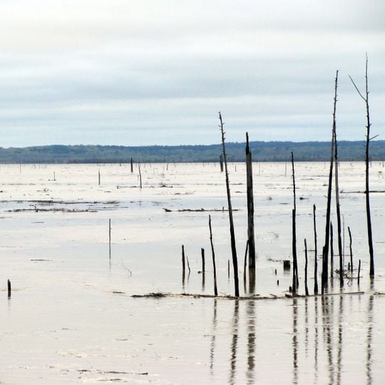
Grenada Lake, Flood control reservoir in northern Mississippi, United States
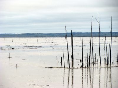
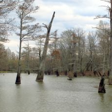
Grenada Lake is a reservoir on the Yalobusha River in northern Mississippi, impounded by an earthen-filled dam about 3 miles northeast of Grenada. At the 215 NGVD recreation-season level it covers 35,000 acres with roughly 48 miles of shoreline. Dead, leafless tree trunks and thin snags protrude from the shallow, pale brown water, with a low tree line on the far horizon.
The US Army Corps of Engineers built this reservoir in the 1950s to prevent flooding in the region. The project was a direct response to devastating flood events from earlier decades that had caused widespread damage.
Grenada Lake hosts several fishing tournaments each year, drawing anglers to its water. The reservoir is bordered by Hugh White State Park and Carver Point Group Camp, and many other campgrounds sit around the shoreline. Federal legislation allows recreation on Corps of Engineers lands, so the lake serves both flood control and outdoor pastimes.
The shoreline offers good access to the water with several public boat ramps and picnic areas available. Water levels fluctuate seasonally depending on flood management needs, which affects where you can access the lake.
The water level drops significantly during maintenance periods, concentrating fish in deeper areas and dramatically changing the landscape. This creates very different scenes depending on when you visit the lake.
The community of curious travelers
AroundUs brings together thousands of curated places, local tips, and hidden gems, enriched daily by 92,890 contributors worldwide.