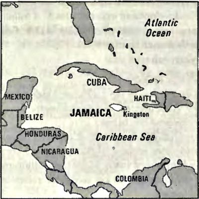
Geography of Jamaica, Caribbean island in Greater Antilles, south of Cuba
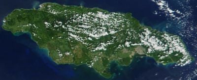
Jamaica is a Caribbean island that extends across a significant distance with varying widths throughout. The terrain consists of eastern mountain chains, central valleys with plateaus, and flat coastal plains that create different conditions for life and agriculture.
The island was originally known by the name Xaymaca before European explorers reached it. The arrival of Christopher Columbus in 1494 marked the start of European influence that would transform the island over the following centuries.
The land shapes how people live and work across the island through its varied terrain. Mountain communities practice farming while coastal areas focus on fishing and tourism as their main ways of life.
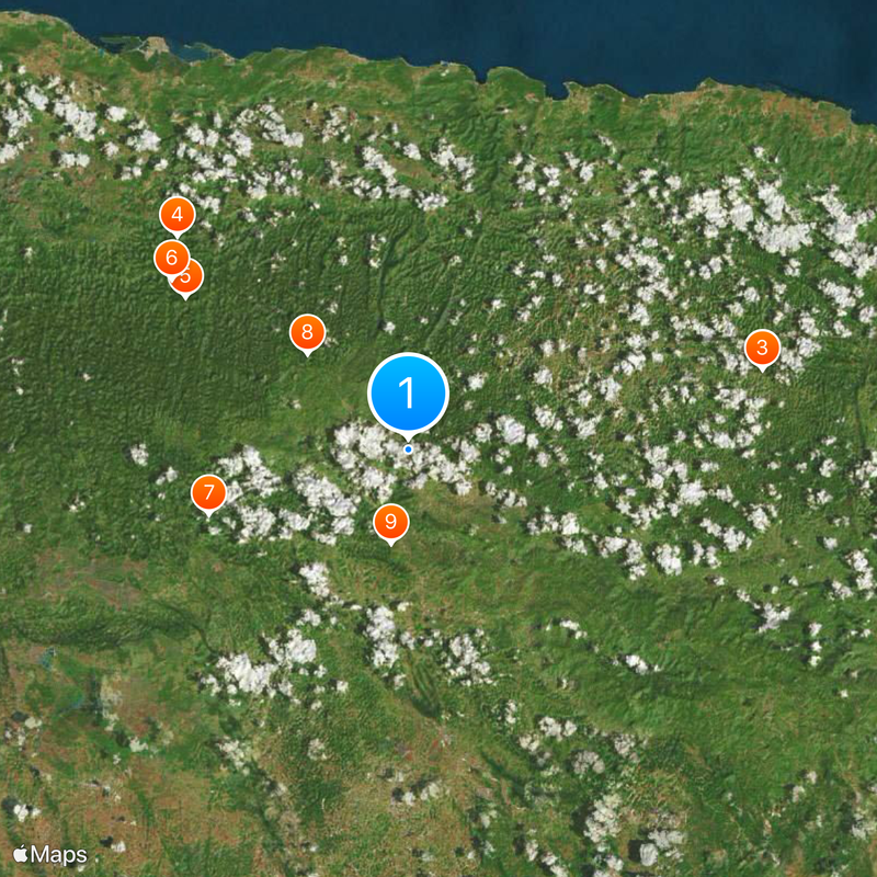
The highest mountain regions are cooler and damper than the coastal plains, which matters when planning where to spend time. Visitors should prepare for changing weather conditions since temperature shifts significantly based on elevation.
The island is home to a striking number of plant species, with many found nowhere else in the world. This high number of plants that grow only here makes it special for anyone interested in nature and how life adapts to island conditions.
The community of curious travelers
AroundUs brings together thousands of curated places, local tips, and hidden gems, enriched daily by 60,000 contributors worldwide.