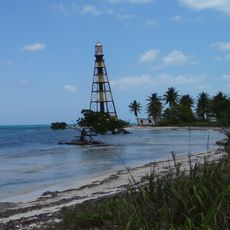
Pinar del Río Province, Provincial region in western Cuba
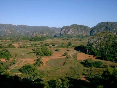
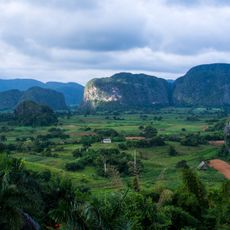
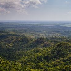
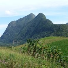
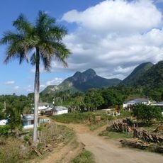
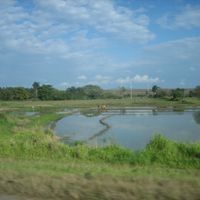
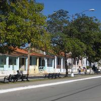
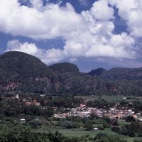
Pinar del Río is a province in western Cuba characterized by distinctive limestone hills called mogotes and wide valleys with fertile soil. The terrain is dominated by fields dedicated primarily to tobacco cultivation, along with scattered farming communities and towns throughout the region.
The territory was originally called Nueva Filipinas because Asian workers labored on plantations there at that time, until the province received its current name in 1879. This renaming reflected a shift toward an identity focused on the land itself.
The region's identity centers on tobacco farming, where growers tend plants on red soil and process harvested leaves in large wooden drying sheds visible across the landscape. This work remains integral to daily life and shapes how people spend their seasons throughout the year.
The province connects to Havana via the Carretera Central highway, where travel follows relatively direct roads. Along the way you'll find lodging options and rest stops, with more concentrated services in valley areas like Viñales.
The province's red soils have a particular chemical composition that gives tobacco plants grown here a distinctive flavor found nowhere else. This natural difference is why smokers seek out cigars produced from this region.
The community of curious travelers
AroundUs brings together thousands of curated places, local tips, and hidden gems, enriched daily by 60,000 contributors worldwide.