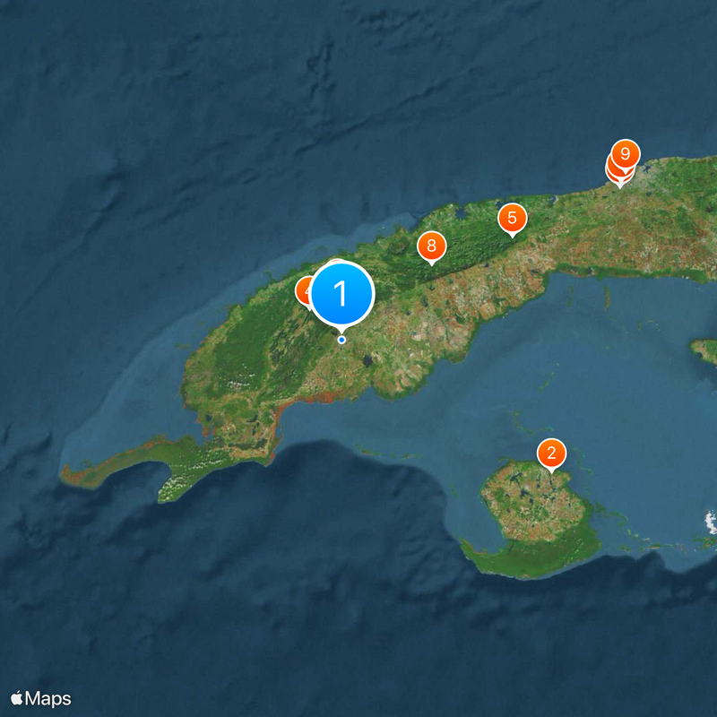
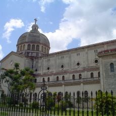
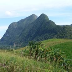
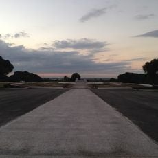
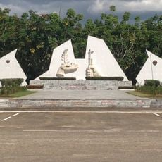
Pinar del Río, Provincial capital in western Cuba
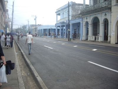
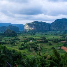
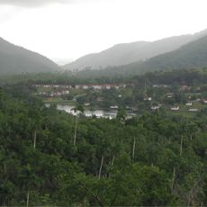
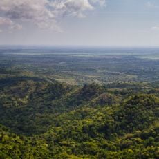
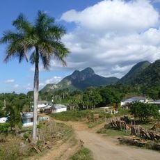
Pinar del Río is the provincial capital at Cuba's western edge, situated in fertile valleys surrounded by distinctive limestone hills called mogotes. The city serves as the hub for an extensive tobacco-growing region and sits near several natural landmarks.
The city was founded in 1774 as Nueva Filipinas, named after Philippine workers who labored in tobacco plantations at that time. It later took its current name from the pine forests that once covered the area near Río Guamá.
Tobacco farming shapes the local identity and landscape here, with farmers using methods passed down through their families for centuries. You can see this heritage reflected in how the countryside is organized and how people talk about their work.
Regular buses connect the city to Havana, and you can get around locally by taxi or bicycle to reach surrounding areas. The best time to visit is during the dry season when tobacco harvesting happens and the region feels most active.
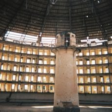
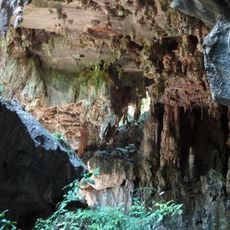
Near the city lies Cueva de los Portales, a cave system that served as a command center during a critical moment in Cold War history. Few visitors realize this underground location played a role in one of the most tense international standoffs of the 20th century.
Location: Pinar del Río Province
Inception: 1669
Elevation above the sea: 61 m
Shares border with: San Luis, San Juan y Martínez, Viñales, Consolación del Sur
Website: http://pinardelrio.pinar.cu
GPS coordinates: 22.41674,-83.70026
Latest update: December 20, 2025 12:16
Presidio Modelo
113.4 km
Viñales Valley
22.3 km
Santo Tomás Cave
20.3 km
Las Terrazas
91.2 km
Sans Souci Cabaret
144.8 km
Museo del Aire
146.7 km
Sierra del Rosario
53.9 km
Church of Jesus
150.3 km
Club Náutico
148 kmCabo San Antonio Lighthouse
142.8 km
Pan de Guajaibón
53.5 km
Miramar Yacht Club
149.8 km
Jardín botánico Orquideario Soroa
18.9 km
El Cacahual Monument
146.8 km
Memorial to the Soviet Internationalist Soldier
141.6 km
Jardín botánico de Pinar del Río
2.4 km
Fusterlandia
145.7 km
Ciénaga de Lanier National Park
130 km
Surgidero de Batabanó Lighthouse
147.3 km
Cayo Jutías Lighthouse
46.9 km
San Juan de Sagua
49.7 km
Quivicán
145.4 kmCabo Corrientes Lighthouse
111.3 km
Cine Praga
1.6 km
Maternidad Obrera de Marianao
150.8 km
Balneario de la Concha
148.6 km
Maceo Monument
139.2 km
Soroa Waterfall
82.6 kmVisited this place? Tap the stars to rate it and share your experience / photos with the community! Try now! You can cancel it anytime.
Discover hidden gems everywhere you go!
From secret cafés to breathtaking viewpoints, skip the crowded tourist spots and find places that match your style. Our app makes it easy with voice search, smart filtering, route optimization, and insider tips from travelers worldwide. Download now for the complete mobile experience.
A unique approach to discovering new places❞
— Le Figaro
All the places worth exploring❞
— France Info
A tailor-made excursion in just a few clicks❞
— 20 Minutes