Sierra del Rosario, Protected area in Pinar del Río Province, Cuba
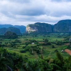
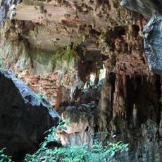
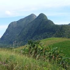
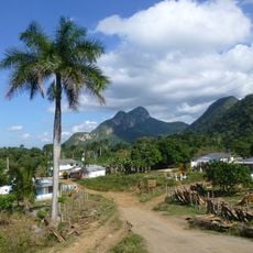
Sierra del Rosario is a mid-altitude mountain range forming the eastern sector of the Guaniguanico cordillera, mostly in Artemisa province with its western end reaching Pinar del Río. Its highest point, Pan de Guajaibón (692 m), is the loftiest summit of western Cuba. The range is built of hard limestones of the Artemisa and Polier formations, with serpentinite outcrops in the west and karst relief; tropical evergreen forest, pine stands and semi-deciduous woodland cover the slopes.
The reserve received official biosphere status in 1984, becoming Cuba's first designation of this kind. This milestone represented a turning point in how the nation approached environmental protection.
Local communities living near the reserve practice sustainable farming that supports conservation efforts in the region. These traditional methods help maintain the balance between agriculture and forest protection.
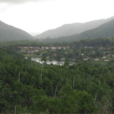
The reserve lies between the municipalities of La Palma, Bahía Honda, Candelaria and San Cristóbal, with the main access through the community of Las Terrazas. Trails cross evergreen and semi-deciduous forest, and the San Juan river keeps natural pools with water even in the dry season. Rain concentrates between May and October, and temperatures drop between November and February.
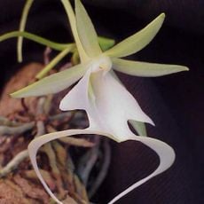
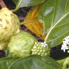
The reserve contains more than 800 plant species, with over one third found nowhere else on Earth. These rare plants have adapted specifically to the mountain climate and unique conditions of this location.
The community of curious travelers
AroundUs brings together thousands of curated places, local tips, and hidden gems, enriched daily by 93,319 contributors worldwide.