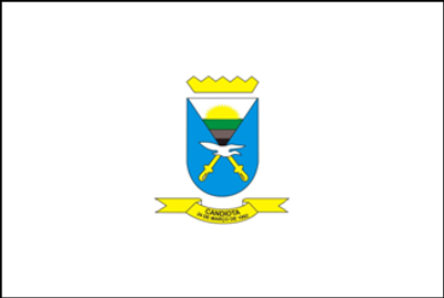
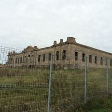
Candiota, Municipality in Rio Grande do Sul, Brazil
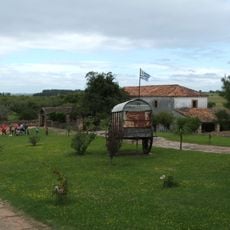
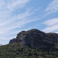
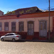
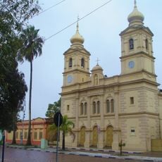
Candiota is a municipality in southern Brazil situated across rural terrain. The region has a low population concentration and consists mainly of farmland and natural landscapes.
The municipality was founded in 1992 in an area that had long been home to Guarani and Kaingang peoples. These original inhabitants left deep marks on the region's land and cultural identity.
The people of Candiota follow gaucho traditions and gather to prepare churrasco while sharing chimarrão. These customs shape how neighbors connect and spend time together in daily life.
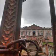
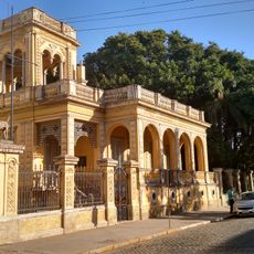
The area is sparsely populated and better suited for travelers seeking calm and rural experiences. It is best explored on your own with a vehicle since distances between places are considerable.
The region holds substantial coal reserves that supply Brazil's energy needs. Mining is a significant economic activity that shapes the livelihoods of many local families.
Location: Rio Grande do Sul
Elevation above the sea: 220 m
Shares border with: Aceguá, Bagé, Hulha Negra, Pedras Altas, Pinheiro Machado
Website: http://candiota.rs.gov.br
GPS coordinates: -31.55778,-53.67278
Latest update: December 8, 2025 13:42
Estadio Arquitecto Antonio Eleuterio Ubilla
100.8 km
Posta del Chuy
97.8 km
Forte de D. Pedro II de Caçapava
118.2 km
Dom Diogo de Souza Museum
47.7 km
Estádio Pedra Moura
49.2 km
Cathedral of Melo
102.3 km
Palacete Pedro Osório
48.7 km
Regional History Museum of Melo
102.2 km
Museu de Arte Leopoldo Gotuzzo
128.3 km
Palácio Farroupilha
55.5 km
Museu da Gravura Brasileira
49.4 km
Stones of Segredo Park
114.4 km
Casa de Ulhôa Cintra
117.7 km
Casa de Antônio Augusto Borges de Medeiros
117.6 km
Phare de Ponta Alegre
128.7 km
Catedral de São Sebastião
47.8 km
Igreja Matriz Nossa Senhora da Assunção
117.7 km
Caixa d'Água
114.7 km
Antiga Escola de Agronomia Eliseu Maciel
128.2 km
Castelo Simões Lopes
127.3 km
Antiga Enfermaria Militar
114.7 km
Prefeitura Municipal
114.7 km
Forum
117.8 km
Centro Histórico de Bagé
47.8 km
Caixa D'Água localizada na Praça Piratinino de Almeida, antigo Largo da Caridade
127.9 km
Banco Pelotense
128.2 km
Bagé aqueduct
47.5 km
Ponte Alta (Bagé)
47.5 kmVisited this place? Tap the stars to rate it and share your experience / photos with the community! Try now! You can cancel it anytime.
Discover hidden gems everywhere you go!
From secret cafés to breathtaking viewpoints, skip the crowded tourist spots and find places that match your style. Our app makes it easy with voice search, smart filtering, route optimization, and insider tips from travelers worldwide. Download now for the complete mobile experience.
A unique approach to discovering new places❞
— Le Figaro
All the places worth exploring❞
— France Info
A tailor-made excursion in just a few clicks❞
— 20 Minutes