Enable Location

We need your location to show you interesting places around you

Discover nearby places

Find interesting locations and hidden gems around you

Precise directions

Get accurate directions and distances to places

Your location is never shared with other users. It's only used when you tap the location button.

São Caetano do Sul

Log in to your account

Start exploring — it's free

Trusted by 62,050 travelers worldwide

Continue with Google
Continue with Apple
or

We will send you a code to connect

By continuing, you accept our Terms and Conditions and our Privacy Policy

Check your inbox

We've sent a pincode in your inbox. Please enter the code below.

São Caetano do Sul, Industrial municipality in São Paulo state, Brazil

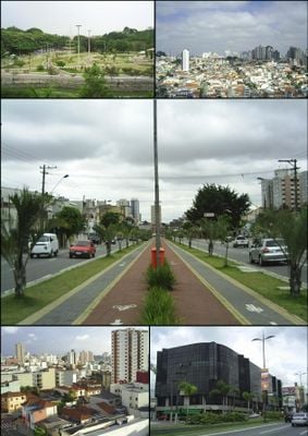
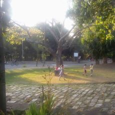
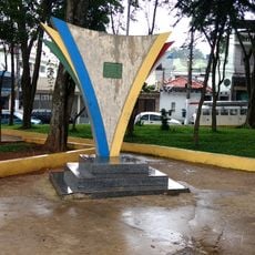
São Caetano do Sul is an industrial city within the Greater São Paulo area, covering roughly 15 square kilometers (6 square miles) between the Tamanduateí River and several neighboring municipalities. The streets follow a regular grid lined with factory buildings, residential blocks, and small shopping centers.

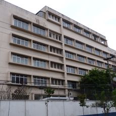
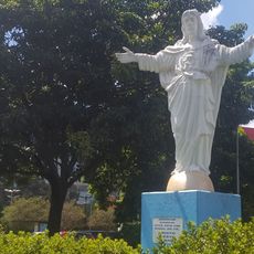
Benedictine monks founded a small rural estate in this area in 1631 and dedicated a chapel to Saint Cajetan in 1717, laying the foundation for the future settlement. Italian immigrants developed the area into a major industrial center from the late 19th century onward.

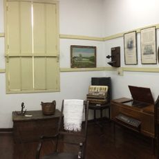
The city takes its name from Saint Cajetan, patron of workers and craftsmen, whose chapel stood here in the early 18th century. Italian and Japanese immigrant heritage remains visible in the restaurants and small shops along the main avenues, where families gather on weekends.

The city sits directly on the São Paulo metro network, allowing visitors to reach several stations within the municipality. Most sights and shops line the main avenues, which are easy to walk or reach by local buses.

Among all Brazilian municipalities, this city reached the highest per capita income in 2010, around 31,000 US dollars (approximately 31,000 euros). The growth owes much to the presence of major automobile plants established during the 20th century.

The community of curious travelers

AroundUs brings together thousands of curated places, local tips, and hidden gems, enriched daily by 60,000 contributors worldwide.

Start exploring
Location
Inception
July 28, 1877
Elevation above the sea
744 m
Shares border with
São Paulo, São Bernardo do Campo, Santo André
GPS coordinates
-23.62278,-46.55083
Latest update
December 17, 2025 23:22
« São Caetano do Sul - Industrial municipality in São Paulo state, Brazil » is provided by Around Us (aroundus.com). Images and texts are derived from Wikimedia project under a Creative Commons license. You are allowed to copy, distribute, and modify copies of this page, under the conditions set by the license, as long as this note is clearly visible.

Discover hidden gems everywhere you go!

From secret cafés to breathtaking viewpoints, skip the crowded tourist spots and find places that match your style. Our app makes it easy with voice search, smart filtering, route optimization, and insider tips from travelers worldwide. Download now for the complete mobile experience.

Around Us App Screenshot

A unique approach to discovering new places

Le Figaro

All the places worth exploring

France Info

A tailor-made excursion in just a few clicks

20 Minutes

Around Us
Travel Guide & Maps
Download

Send to your phone

QR Code
1

Open the camera app on your mobile.

2

Point at the QR code with your camera. A notification will appear.

3

Tap the notification to open the link.