
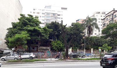
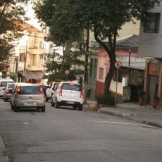
Rua da Consolação, 1047, bem tombado em São Paulo, São Paulo, Brasil
Location: São Paulo
Location: Consolação District
Address: Rua da Consolação, nº 1047 - Consolação - São Paulo-SP
GPS coordinates: -23.54890,-46.65127
Latest update: March 11, 2025 02:45
Frei Caneca Street
681 m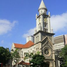
Paróquia Nossa Senhora da Consolação
486 m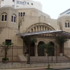
Sinagoga Beth El
612 m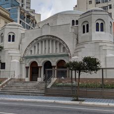
Jewish Museum of São Paulo
616 m
Edifício do Tribunal de Justiça de São Paulo
650 m
Edifício Lausanne
466 m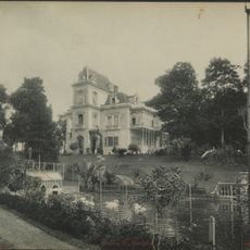
Palacete Veridiana da Silva Prado
493 m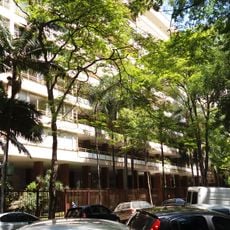
Edifício Prudência
595 m
Centro Universitário Maria Antonia
315 m
Monteiro Lobato Library
482 m
Teatro Maria Della Costa
675 m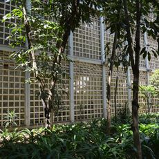
Instituto Sedes Sapientiae
122 m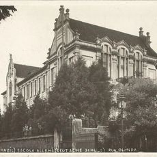
Former Brazilian Deutsche Schule school building
425 m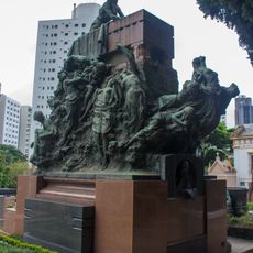
Jafet Tomb
681 m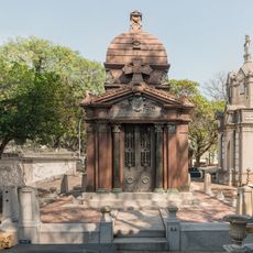
Mausoleum of Álvares Penteado family
697 m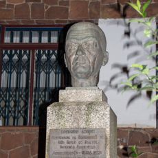
Monteiro Lobato statue
477 m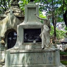
Selvagem
572 m
John Mackenzie
384 m
Prece
571 m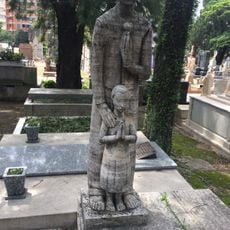
O Adeus
533 m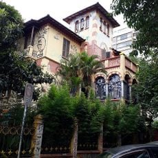
Rua da Consolação, 1075
27 m
Rua Augusta, 349,365
230 m
Vegetação do Antigo Colégio des Oiseaux
364 m
Painel do Edifício Lausanne
466 m
Rua da Consolação, 1059
9 m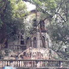
Rua Marquês de Paranaguá, 124
140 m
Edifício Icaraí
489 m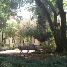
Edifício Vila Penteado
580 mReviews
Visited this place? Tap the stars to rate it and share your experience / photos with the community! Try now! You can cancel it anytime.
Discover hidden gems everywhere you go!
From secret cafés to breathtaking viewpoints, skip the crowded tourist spots and find places that match your style. Our app makes it easy with voice search, smart filtering, route optimization, and insider tips from travelers worldwide. Download now for the complete mobile experience.

A unique approach to discovering new places❞
— Le Figaro
All the places worth exploring❞
— France Info
A tailor-made excursion in just a few clicks❞
— 20 Minutes