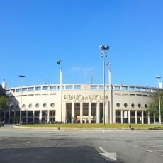
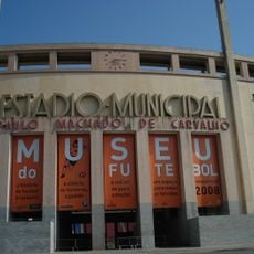
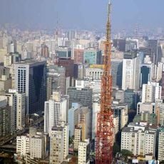
Consolação District, Administrative district in central São Paulo, Brazil.
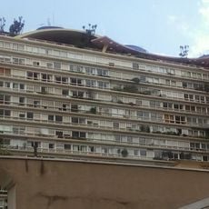
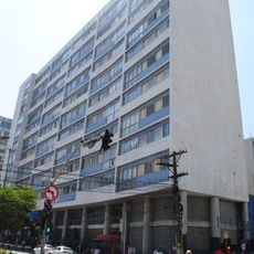
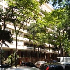
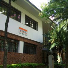
Consolação District is an administrative area in central São Paulo that mixes residential buildings, shops, and educational institutions along its main avenues. The neighborhood is organized around several wide streets that serve as connectors between different parts of the district.
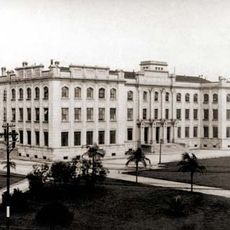
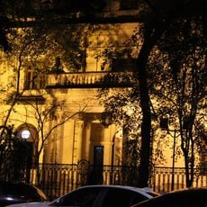
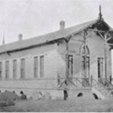
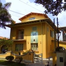
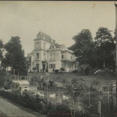
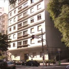
The area grew from a 16th-century estate and became an upper-class residential neighborhood in the early 20th century. This shift from rural land to urban housing shaped how the district is organized today.
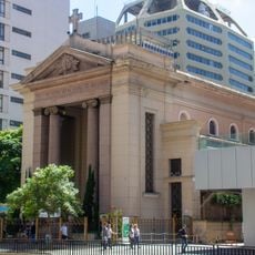
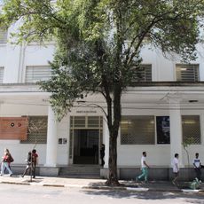
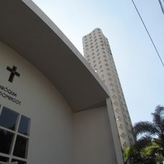
Educational institutions like Mackenzie Presbyterian University and FAAP shape daily life here, drawing students and visitors to cultural venues and galleries throughout the district. You'll notice a strong academic presence in how people move through the streets and gather in the neighborhood's spaces.
Three subway stations connect the district to the city's transit system, with buses running along the main streets for easy access to different parts. Walking through the neighborhood is straightforward thanks to its organized street layout.
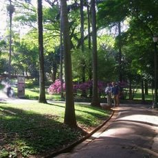
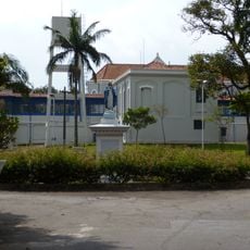
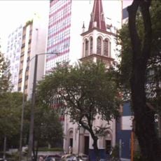
Buenos Aires Park sits within this urban zone as an unexpected green space filled with tropical plants and open areas. This pocket of nature offers a quiet break from the surrounding city activity.
Location: Subprefecture of Sé
Location: São Paulo
Shares border with: Bela Vista District, Jardim Paulista District, Perdizes District, República District, Santa Cecília District
Website: http://portal.prefeitura.sp.gov.br/subprefeituras/spse
GPS coordinates: -23.54813,-46.66106
Latest update: December 7, 2025 19:30
Estádio do Pacaembu
417 m
Irmandade da Santa Casa de Misericórdia de São Paulo
1.3 km
Football Museum
458 m
Frei Caneca Street
973 m
Louveira Building
452 m
Adolfo Lutz Institute
1.1 km
Bretagne Building
790 m
Parque Buenos Aires
375 m
Paróquia Nossa Senhora da Consolação
1.5 km
Casarão de Nhonhô Magalhães
714 m
Instituto de Infectologia Emilio Ribas
1 km
Torre TV Bandeirantes
945 m
Teatro da Pontifícia Universidade Católica de São Paulo
1.5 km
Casa Guilherme de Almeida
1.3 km
Anchieta Building
814 m
Antiga Unidade Sampaio Viana da Febem e Área Verde
641 m
Edifício Lausanne
883 m
Palacete Veridiana da Silva Prado
934 m
Casa Modernista
232 m
Edifício Prudência
792 m
Paróquia São Luís Gonzaga
908 m
Paróquia de Santa Terezinha
534 m
Centro Universitário Maria Antonia
1 km
Casa Modernista
411 m
Gioconda Giannini Glasses Museum
1.8 km
Monteiro Lobato Library
1.3 km
Conjunto dos Dominicanos
1.2 km
Vilaboim square
427 mVisited this place? Tap the stars to rate it and share your experience / photos with the community! Try now! You can cancel it anytime.
Discover hidden gems everywhere you go!
From secret cafés to breathtaking viewpoints, skip the crowded tourist spots and find places that match your style. Our app makes it easy with voice search, smart filtering, route optimization, and insider tips from travelers worldwide. Download now for the complete mobile experience.
A unique approach to discovering new places❞
— Le Figaro
All the places worth exploring❞
— France Info
A tailor-made excursion in just a few clicks❞
— 20 Minutes