Goytacazes National Forest, National forest in Linhares, Brazil.
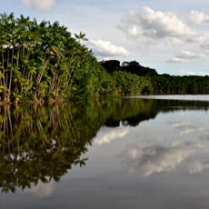
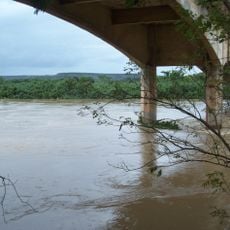
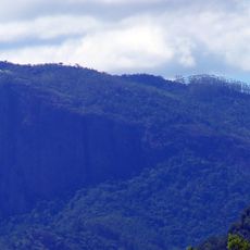
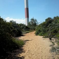
Goytacazes National Forest covers 1,423.96 hectares in the municipality of Linhares, on the south bank of the Doce River opposite the town. It lies on alluvial soil left by the last marine recession of the Holocene, under Atlantic Forest vegetation. A power transmission line with maintenance access routes and the Alaesse Fiorot municipal road cross the forest.
The government established this protected area in 2002 as a conservation measure for the region's forest resources. This action was part of broader efforts to safeguard Atlantic Forest ecosystems from deforestation.
The forest's name comes from the Goytacazes, the Indigenous people who lived along the Doce River before Portuguese colonisation. The forest lies opposite the town of Linhares, and its buffer zone is crossed by the Alaesse Fiorot municipal road, named after a local figure. Hunting and illegal plant extraction are listed as threats, so collecting plants or animals is not permitted.
Access to the forest is available through roads near the city of Linhares, which serves as the main entry point. It is advisable to start at local information centers to learn about the best routes through the area.
The forest's alluvial soils date from the last marine recession of the Holocene, which the sources credit for the area's particular character. The reserve is crossed by a power transmission line whose maintenance tracks also serve as access routes, and by the Alaesse Fiorot municipal road. Hunting and illegal plant extraction are listed among the main threats.
The community of curious travelers
AroundUs brings together thousands of curated places, local tips, and hidden gems, enriched daily by 93,764 contributors worldwide.