
Mookgophong Local Municipality, local municipality
Location: Waterberg District Municipality
Inception: December 5, 2000
Capital city: Mookgophong
Elevation above the sea: 1,075 m
Website: http://www.mookgophong.gov.za/
Website: http://mookgophong.gov.za
GPS coordinates: -24.66670,29.00000
Latest update: March 31, 2025 03:12
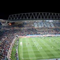
Peter Mokaba Stadium
95.3 km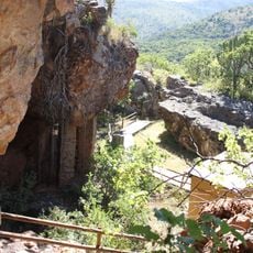
Vallée de Makapan
60.1 km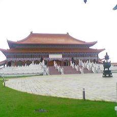
Nan Hua Temple
131.7 km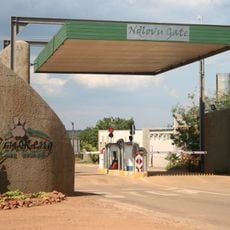
Dinokeng Game Reserve
107.6 km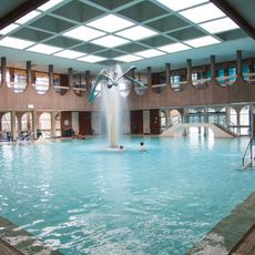
Warmbaths, A Forever Resort
75.8 km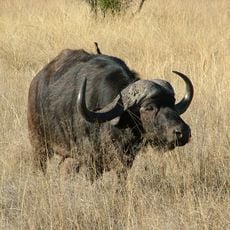
Mabula Game Reserve
108.8 km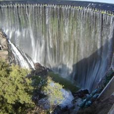
Roodeplaat Dam
123.7 km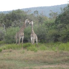
Mabalingwe Game Reserve
98 km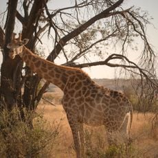
Welgevonden Game Reserve
122.6 km
Nylsvley Nature Reserve
31.3 km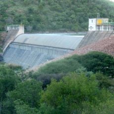
Klipvoor Dam
131 km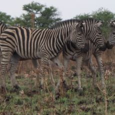
Roodeplaat Nature Reserve
126.4 km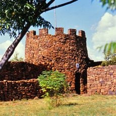
Fort Merensky
122 km
Wolkberg Wilderness Area
131 km
Openair Snakepark Polokwane
93.6 km
Eventeria
96.2 km
Ditsong Willem Prinsloo Agricultural Museum
131.9 km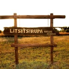
Litsitsirupa Private Nature Reserve
88.2 km
Potlake Nature Reserve
104.2 km
De Tweedespruit conservancy
109.5 km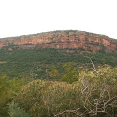
Moepel Nature Reserve
111.6 km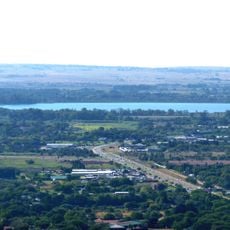
Bon Accord Reservoir
134.6 km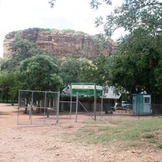
Masebe Nature Reserve
120.8 km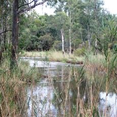
Waterberg Natuurpraal
95.5 km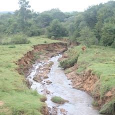
Rietspruit
124.1 km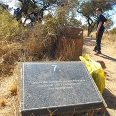
Ditsong Tswaing Crater Museum
123.2 km
Ezemvelo Nature Reserve
115.7 km
Bobbejaansberg Private Nature Reserve
110.2 kmReviews
Visited this place? Tap the stars to rate it and share your experience / photos with the community! Try now! You can cancel it anytime.
Discover hidden gems everywhere you go!
From secret cafés to breathtaking viewpoints, skip the crowded tourist spots and find places that match your style. Our app makes it easy with voice search, smart filtering, route optimization, and insider tips from travelers worldwide. Download now for the complete mobile experience.

A unique approach to discovering new places❞
— Le Figaro
All the places worth exploring❞
— France Info
A tailor-made excursion in just a few clicks❞
— 20 Minutes